Africa
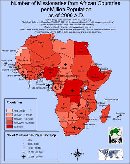
Number of Missionaries from African Countries
·Type: Maps ·Full title: Number of Missionaries from African Countries per Million Population as of 2000 A.D. ·Map Date: February 2008 ·Data Source: Operation World CD 2001 ·Producer: INSERV ·Collection:...
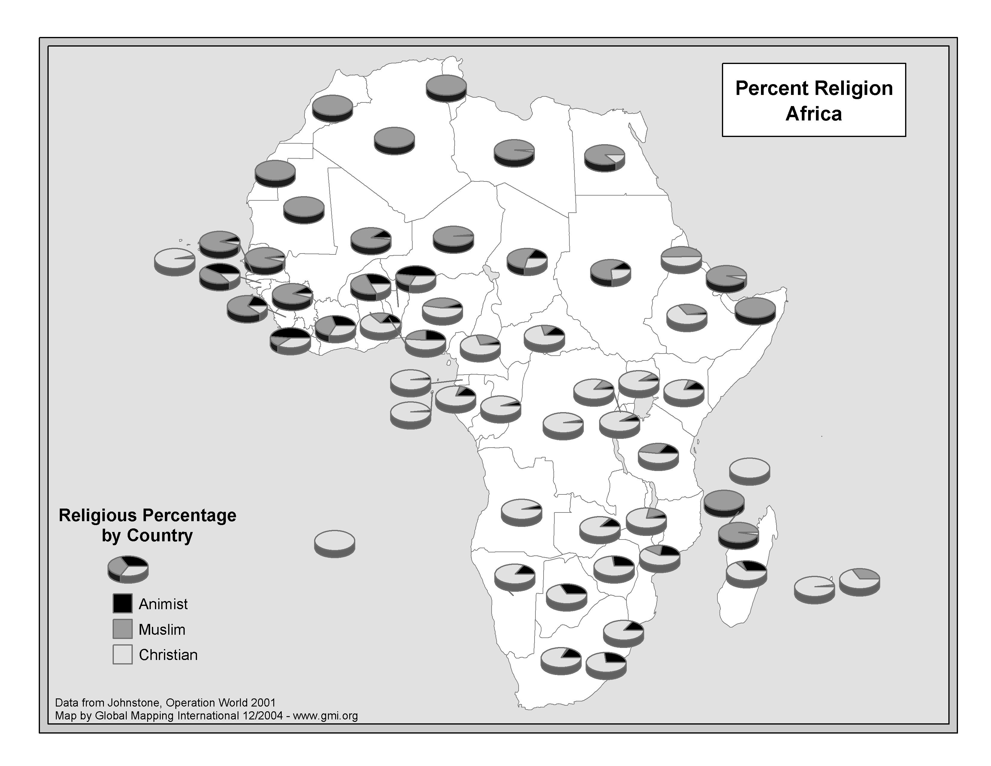
Percent Religion Africa
·Type: Maps ·Map Date: 2004 ·Data Source: Operation World 2001 ·Producer: GMI ·Collection: Projects 2004 ·Size: 8½ by 11 inches, landscape ·Categories: Type :: Maps Continent/Region :: Africa...
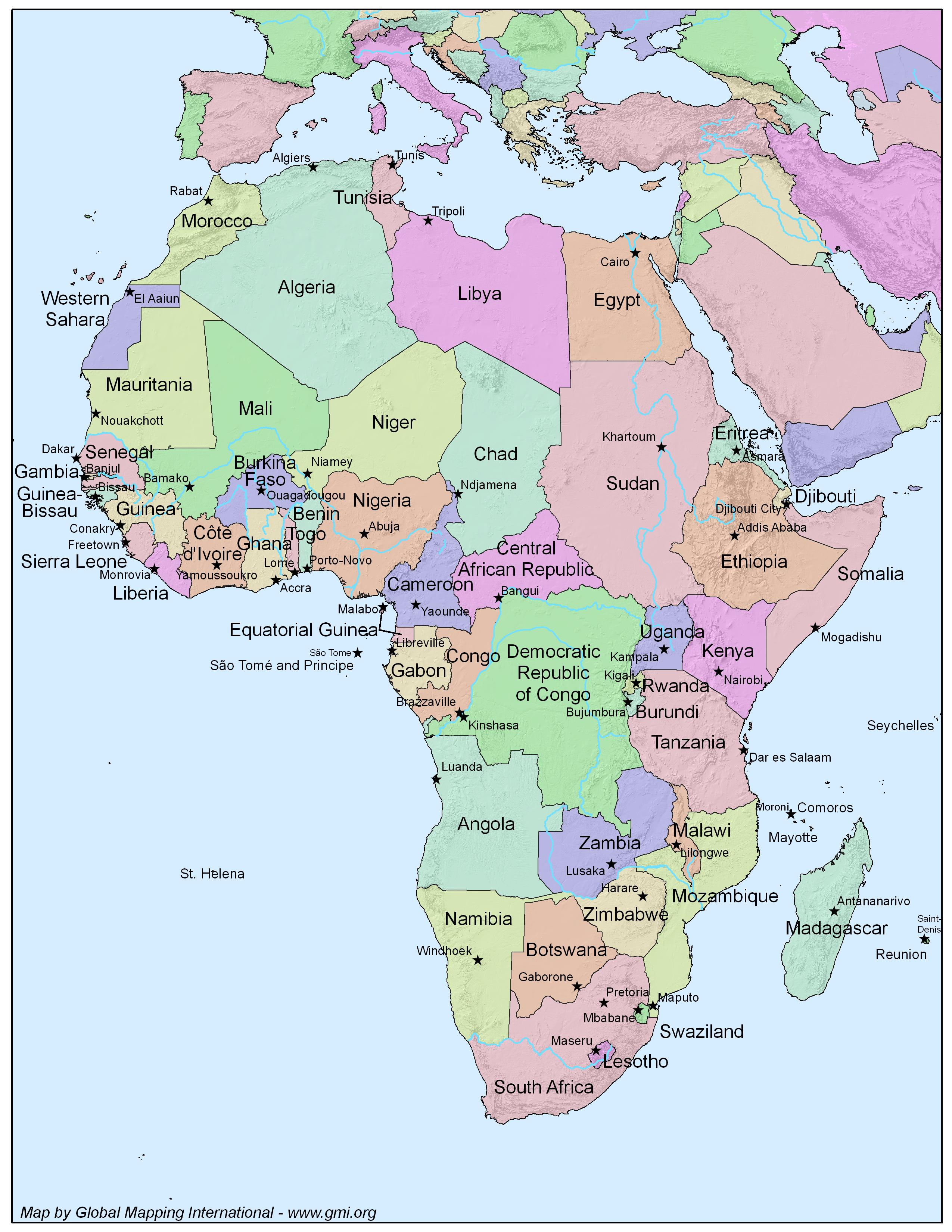
Political Map of Africa
·Type: Maps ·Map Date: 2006 ·Producer: GMI ·Collection: Projects 2006 ·Size: 8½ by 11 inches, portrait ·Categories: Type :: Maps Continent/Region :: Africa Partners :: Global Mapping International...
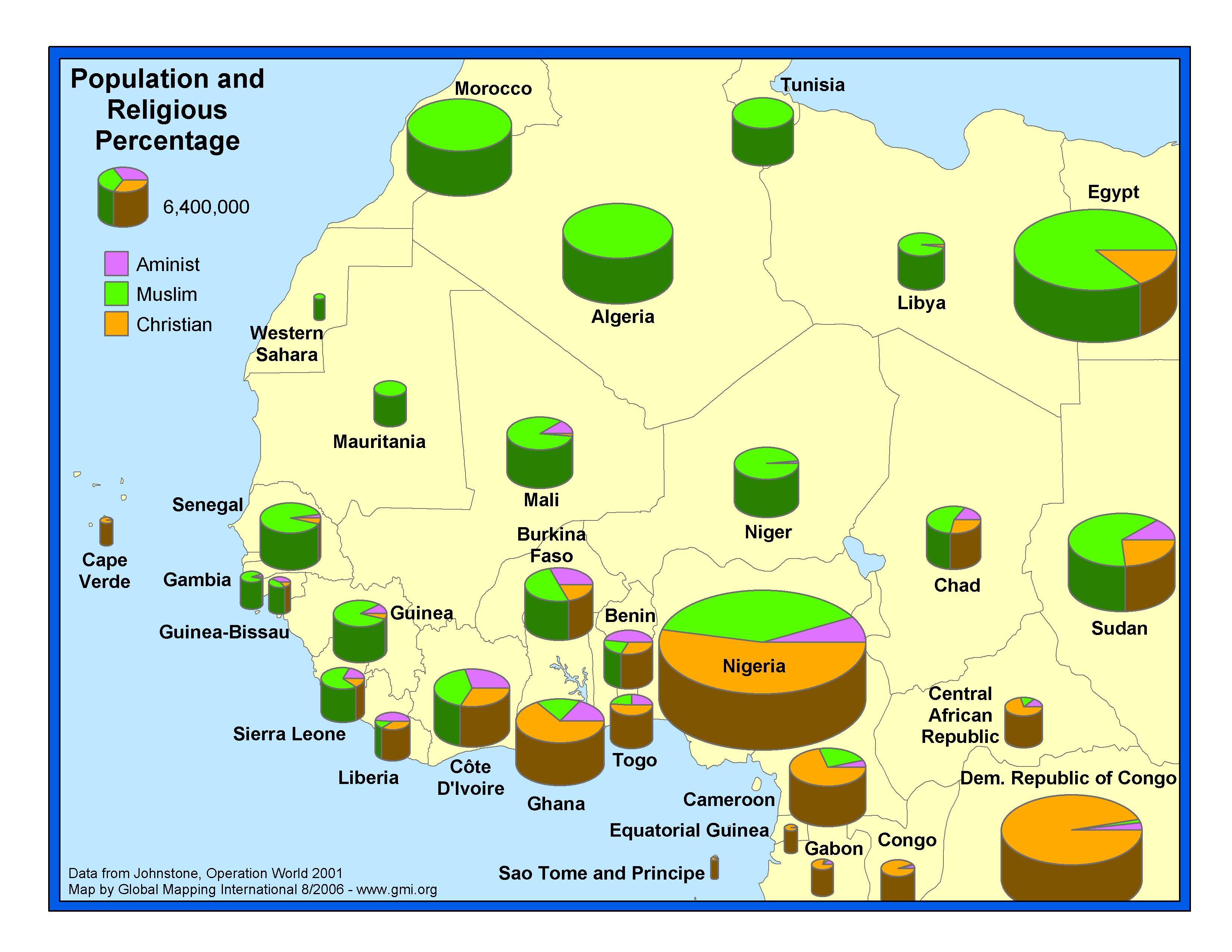
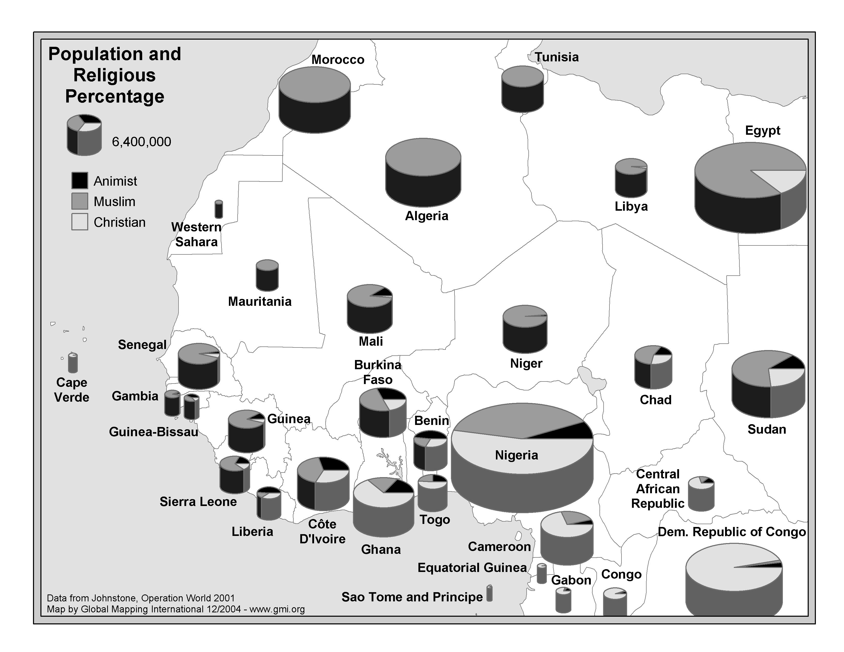
Population and Percent Religious, West Africa
·Type: Maps ·Map Date: 2004 ·Data Source: Operation World 2001 ·Producer: GMI ·Collection: Projects 2004 ·Size: 8½ by 11 inches, landscape ·Categories: Type :: Maps Continent/Region :: Africa...
Population and Percent Religious, West Africa (BW)
·Type: Maps ·Map Date: 2004 ·Data Source: Operation World 2001 ·Producer: GMI ·Collection: Projects 2004 ·Size: 8½ by 11 inches, landscape ·Categories: Type :: Maps Continent/Region :: Africa...
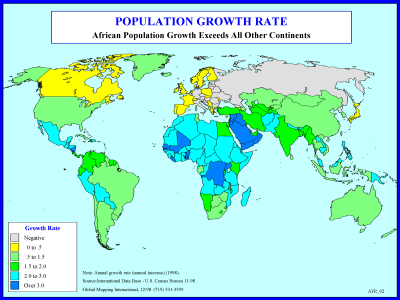
Population Growth Rate
·Type: Maps ·Description: Growth rate of countries in Africa ·Map Date: 1998 ·Producer: Global Mapping International ·Collection: Reaching Africa (WorldVue 2002) ·Size: 8½ x 11 Inches, landscape...
Population Growth Rate (BW)
·Type: Maps ·Description: Growth rate of countries in Africa ·Map Date: 2002 ·Producer: Global Mapping International ·Collection: Reaching Africa (WorldVue 2002) ·Size: 8½ x 11 Inches, landscape...
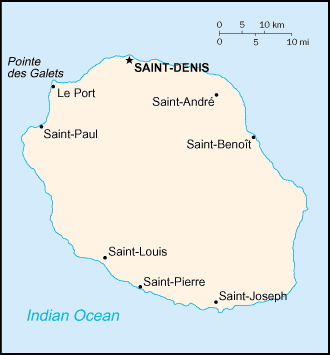
Reunion map (World Factbook)
·Type: Maps ·Description: Reunion (Factbook) ·Map Date: 2007 ·Producer: US Government ·Collection: World Factbook country maps ·Size: 326x713 px, landscape ·Categories: Type :: Maps Continent/Region...
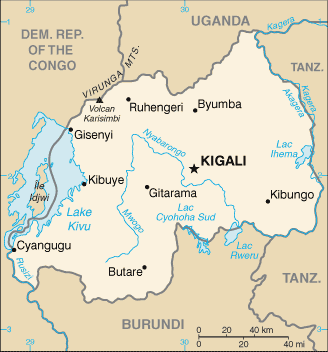
Rwanda map (World Factbook)
·Type: Maps ·Description: Rwanda (Factbook) ·Map Date: 2007 ·Producer: US Government ·Collection: World Factbook country maps ·Size: 634x321 px, landscape ·Categories: Type :: Maps Continent/Region...
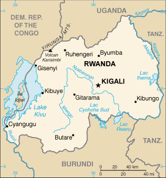
Rwanda map (World Factbook, modified)
·Type: Maps ·Description: Rwanda (World Factbook, modified to add country name) ·Map Date: 2007 ·Producer: US Government modified by Joshua Project ·Collection: World Factbook country maps ·Size: 634x321...
Saint Helena map (World Factbook)
·Type: Maps ·Description: Saint Helena (Factbook) ·Map Date: 2007 ·Producer: US Government ·Collection: World Factbook country maps ·Size: 329x353 px, landscape ·Categories: Type :: Maps...
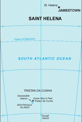
Saint Helena map (World Factbook, modified)
·Type: Maps ·Description: Saint Helena (World Factbook, modified to add country name) ·Map Date: 2007 ·Producer: US Government modified by Joshua Project ·Collection: World Factbook country maps ·Size:...
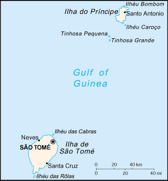
Sao Tome and Principe map (World Factbook)
·Type: Maps ·Description: Sao Tome and Principe (Factbook) ·Map Date: 2007 ·Producer: US Government ·Collection: World Factbook country maps ·Size: 329x355 px, landscape ·Categories: Type :: Maps...
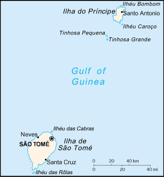
Sao Tome and Principe map (World Factbook, modified)
·Type: Maps ·Description: Sao Tome and Principe (World Factbook, modified to add country name) ·Map Date: 2007 ·Producer: US Government modified by Joshua Project ·Collection: World Factbook country maps...
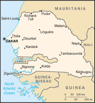
Senegal map (World Factbook)
·Type: Maps ·Description: Senegal (Factbook) ·Map Date: 2007 ·Producer: US Government ·Collection: World Factbook country maps ·Size: 328x352 px, landscape ·Categories: Type :: Maps Continent/Region...
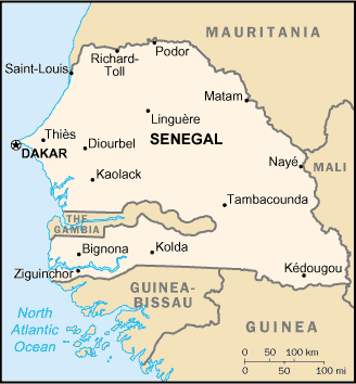
Senegal map (World Factbook, modified)
·Type: Maps ·Description: Senegal (World Factbook, modified to add country name) ·Map Date: 2007 ·Producer: US Government modified by Joshua Project ·Collection: World Factbook country maps ·Size: 328x352...
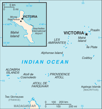
Seychelles map (World Factbook)
·Type: Maps ·Description: Seychelles (Factbook) ·Map Date: 2007 ·Producer: US Government ·Collection: World Factbook country maps ·Size: 330x354 px, landscape ·Categories: Type :: Maps...
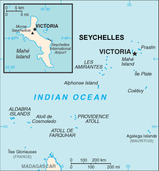
Seychelles map (World Factbook, modified)
·Type: Maps ·Description: Seychelles (World Factbook, modified to add country name) ·Map Date: 2007 ·Producer: US Government modified by Joshua Project ·Collection: World Factbook country maps ·Size:...
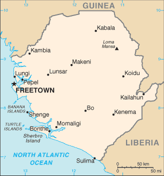
Sierra Leone map (World Factbook)
·Type: Maps ·Description: Sierra Leone (Factbook) ·Map Date: 2007 ·Producer: US Government ·Collection: World Factbook country maps ·Size: 329x713 px, landscape ·Categories: Type :: Maps...
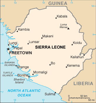
Sierra Leone map (World Factbook, modified)
·Type: Maps ·Description: Sierra Leone (World Factbook, modified to add country name) ·Map Date: 2007 ·Producer: US Government modified by Joshua Project ·Collection: World Factbook country maps ·Size:...
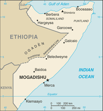
Somalia map (World Factbook)
·Type: Maps ·Description: Somalia (Factbook) ·Map Date: 2007 ·Producer: US Government ·Collection: World Factbook country maps ·Size: 330x355 px, landscape ·Categories: Type :: Maps Continent/Region...
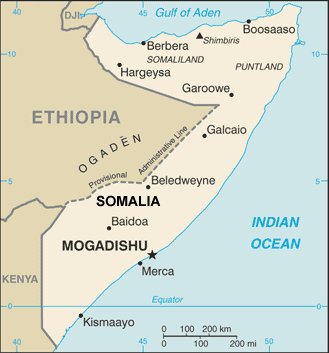
Somalia map (World Factbook, modified)
·Type: Maps ·Description: Somalia (World Factbook, modified to add country name) ·Map Date: 2007 ·Producer: US Government modified by Joshua Project ·Collection: World Factbook country maps ·Size: 330x355...
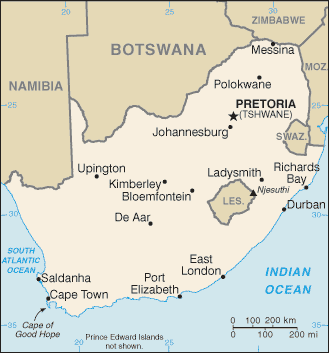
South Africa map (World Factbook)
·Type: Maps ·Description: South Africa (Factbook) ·Map Date: 2007 ·Producer: US Government ·Collection: World Factbook country maps ·Size: 327x352 px, landscape ·Categories: Type :: Maps...
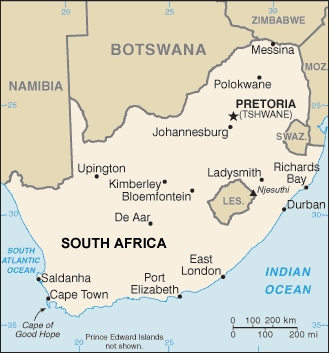
South Africa map (World Factbook, modified)
·Type: Maps ·Description: South Africa (World Factbook, modified to add country name) ·Map Date: 2007 ·Producer: US Government modified by Joshua Project ·Collection: World Factbook country maps ·Size:...
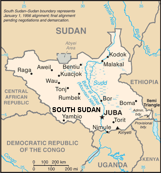
South Sudan 2017 (Factbook, modified)
·Type: Maps ·Description: Sudan (World Factbook, modified to add country name) ·Map Date: 2007 ·Producer: US Government modified by LightSys ·Collection: World Factbook country maps ·Size: 330x353 px,...
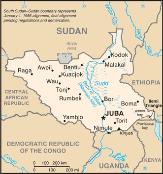
South Sudan 2017 map (World Factbook)
·Type: Maps ·Description: Sudan (World Factbook, modified to add country name) ·Map Date: 2017 ·Producer: US Government modified by LightSys ·Collection: World Factbook country maps ·Size: 330x353 px,...
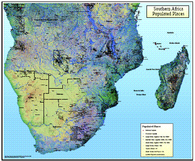
Southern Africa Populated Places
·Type: Maps ·Map Date: 2008 ·Data Source: Populated places from GMMS Populated Place Data 2008 ·Producer: Global Mapping International ·Collection: Wall Maps ·Size: 36 by 30 inches, landscape...
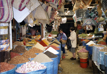
Spices In A Market / Africa
·Type: Images ·Data Source: PMI ·Collection: YWAM-John Fries ·Categories: Continent/Region :: Africa Topic :: Peoples, multiple or unknown Collection :: YWAM-John Fries Partners :: YWAM-John Fries Type :: Images :: by...
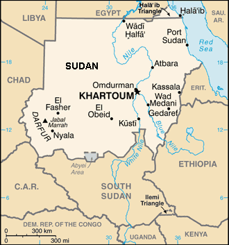
Sudan 2017 (World Factbook, modified to add country name)
·Type: Maps ·Description: Sudan (World Factbook, modified to add country name) ·Map Date: 2017 ·Producer: US Government modified by LightSys ·Collection: World Factbook country maps ·Size: 330x353 px,...
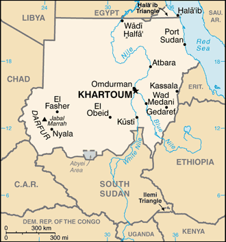
Sudan 2017 map (World Factbook)
·Type: Maps ·Description: Sudan 2017(Factbook) ·Map Date: 2017 ·Producer: US Government ·Collection: World Factbook country maps ·Size: 330x353 px, landscape ·Categories: Type :: Maps...

