Africa
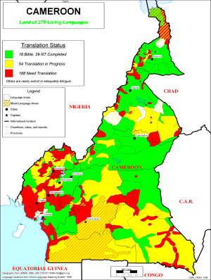
Bible Translation Status of Cameroon
·Type: Maps ·Description: Translations of the Bible in Cameroon ·Map Date: 1999 ·Producer: Global Mapping International ·Collection: Intro to Mission (WorldVue 2002) ·Size: 8½ x 11 Inches, portrait...
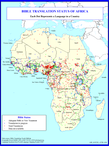
Bible Translation Status of Africa
·Type: Maps ·Description: Translations of the Bible in Africa ·Map Date: 1999 ·Producer: Global Mapping International ·Collection: Reaching Africa (WorldVue 2002) ·Size: 8½ x 11 Inches, portrait...
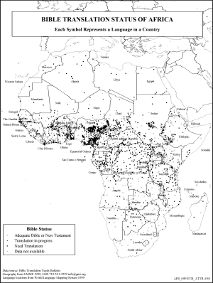
Bible Translation Status of Africa (BW)
·Type: Maps ·Description: Translations of the Bible in Africa ·Map Date: 2002 ·Producer: Global Mapping International ·Collection: Reaching Africa (WorldVue 2002) ·Size: 8½ x 11 Inches, portrait...
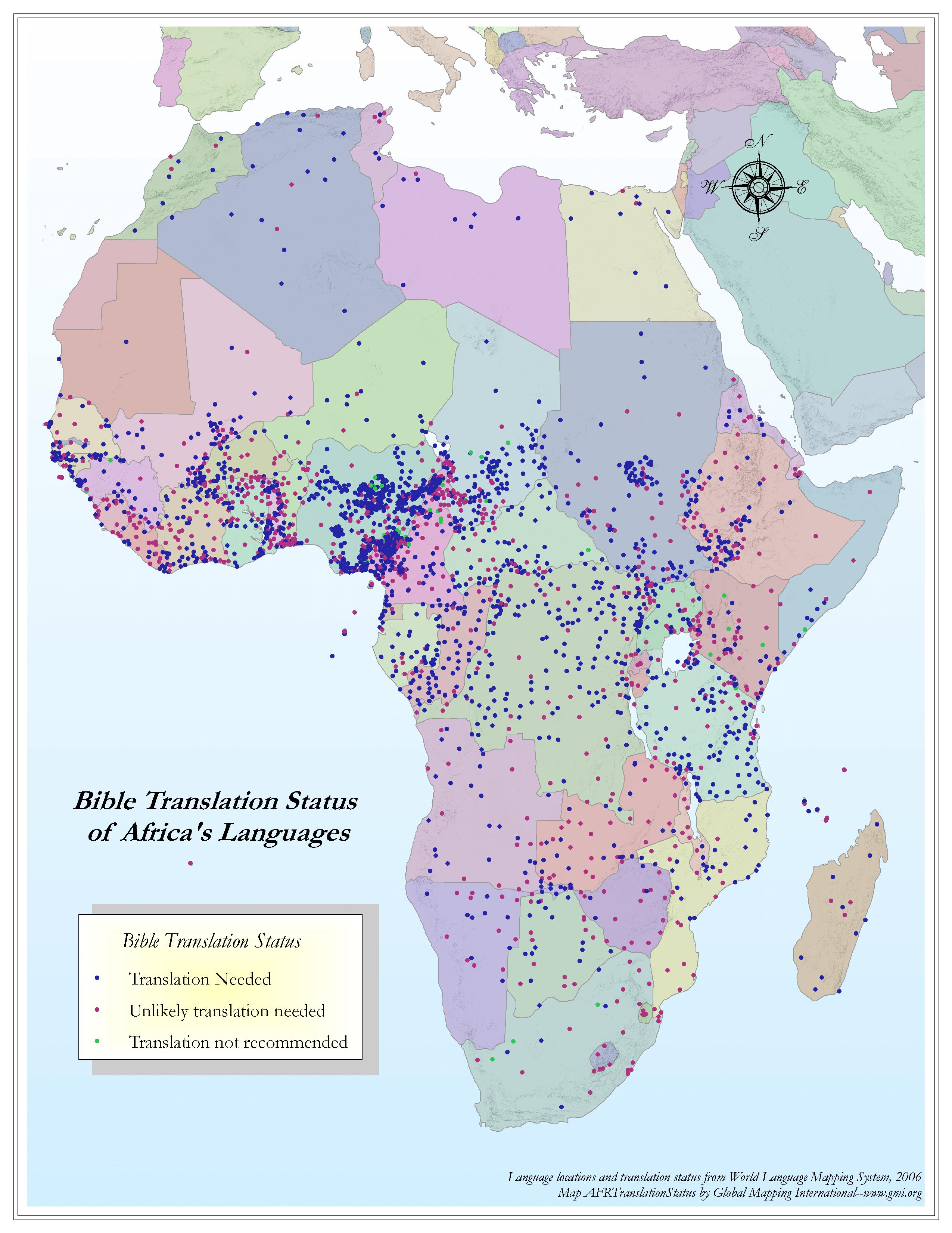
Bible Translation Status of Africa's Languages
·Type: Maps ·Map Date: 2006 ·Data Source: World Language Mapping System 2006 ·Producer: Global Mapping International ·Collection: Reaching Africa (GMMS 2007) ·Size: 8½ x 11 inches, portrait...
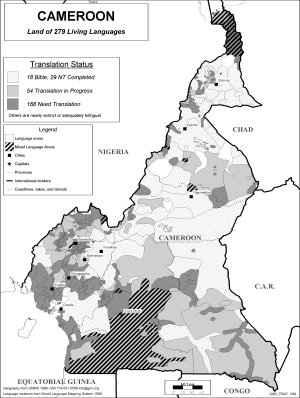
Bible Translation Status of Cameroon (BW)
·Type: Maps ·Description: Bible Translation Status of languages in Cameroon ·Map Date: 2002 ·Producer: Global Mapping International ·Collection: Intro to Mission (WorldVue 2002) ·Size: 8½ x 11...
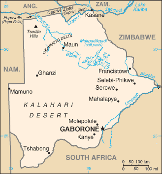
Botswana map (World Factbook)
·Type: Maps ·Description: Botswana (Factbook) ·Map Date: 2007 ·Producer: US Government ·Collection: World Factbook country maps ·Size: 334x355 px, portrait ·Categories: Type :: Maps Continent/Region...
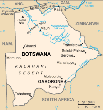
Botswana map (World Factbook, modified)
·Type: Maps ·Description: Botswana (World Factbook, modified to add country name) ·Map Date: 2007 ·Producer: US Government modified by Joshua Project ·Collection: World Factbook country maps ·Size: 334x355...
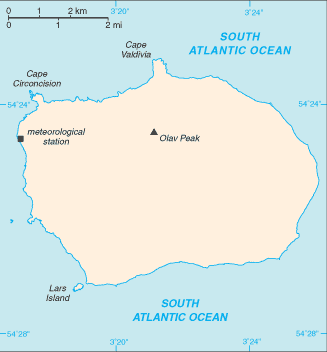
Bouvet Island map (World Factbook)
·Type: Maps ·Description: Bouvet Island (Factbook) ·Map Date: 2007 ·Producer: US Government ·Collection: World Factbook country maps ·Size: 330x355 px, portrait ·Categories: Type :: Maps...
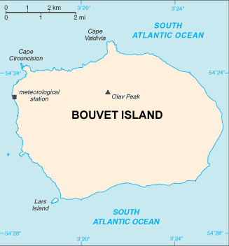
Bouvet Island map (World Factbook, modified)
·Type: Maps ·Description: Bouvet Island (World Factbook, modified to add country name) ·Map Date: 2007 ·Producer: US Government modified by Joshua Project ·Collection: World Factbook country maps ·Size:...
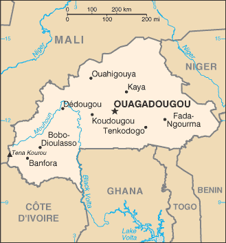
Burkina Faso map (World Factbook)
·Type: Maps ·Description: Burkina Faso (Factbook) ·Map Date: 2007 ·Producer: US Government ·Collection: World Factbook country maps ·Size: 329x353 px, portrait ·Categories: Type :: Maps...
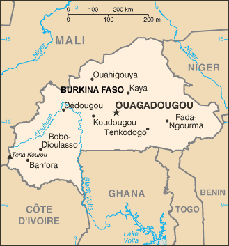
Burkina Faso map (World Factbook, modified)
·Type: Maps ·Description: Burkina Faso (World Factbook, modified to add country name) ·Map Date: 2007 ·Producer: US Government modified by Joshua Project ·Collection: World Factbook country maps ·Size:...
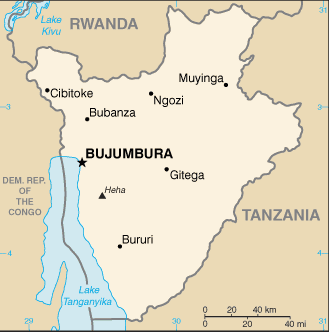
Burundi map (World Factbook)
·Type: Maps ·Description: Burundi (Factbook) ·Map Date: 2007 ·Producer: US Government ·Collection: World Factbook country maps ·Size: 327x352 px, portrait ·Categories: Type :: Maps Continent/Region...
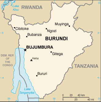
Burundi map (World Factbook, modified)
·Type: Maps ·Description: Burundi (World Factbook, modified to add country name) ·Map Date: 2007 ·Producer: US Government modified by Joshua Project ·Collection: World Factbook country maps ·Size: 327x352...
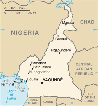
Cameroon map (World Factbook)
·Type: Maps ·Description: Cameroon (Factbook) ·Map Date: 2007 ·Producer: US Government ·Collection: World Factbook country maps ·Size: 329x351 px, portrait ·Categories: Type :: Maps Continent/Region...
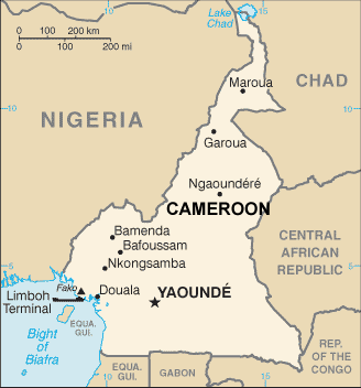
Cameroon map (World Factbook, modified)
·Type: Maps ·Description: Cameroon (World Factbook, modified to add country name) ·Map Date: 2007 ·Producer: US Government modified by Joshua Project ·Collection: World Factbook country maps ·Size: 329x351...
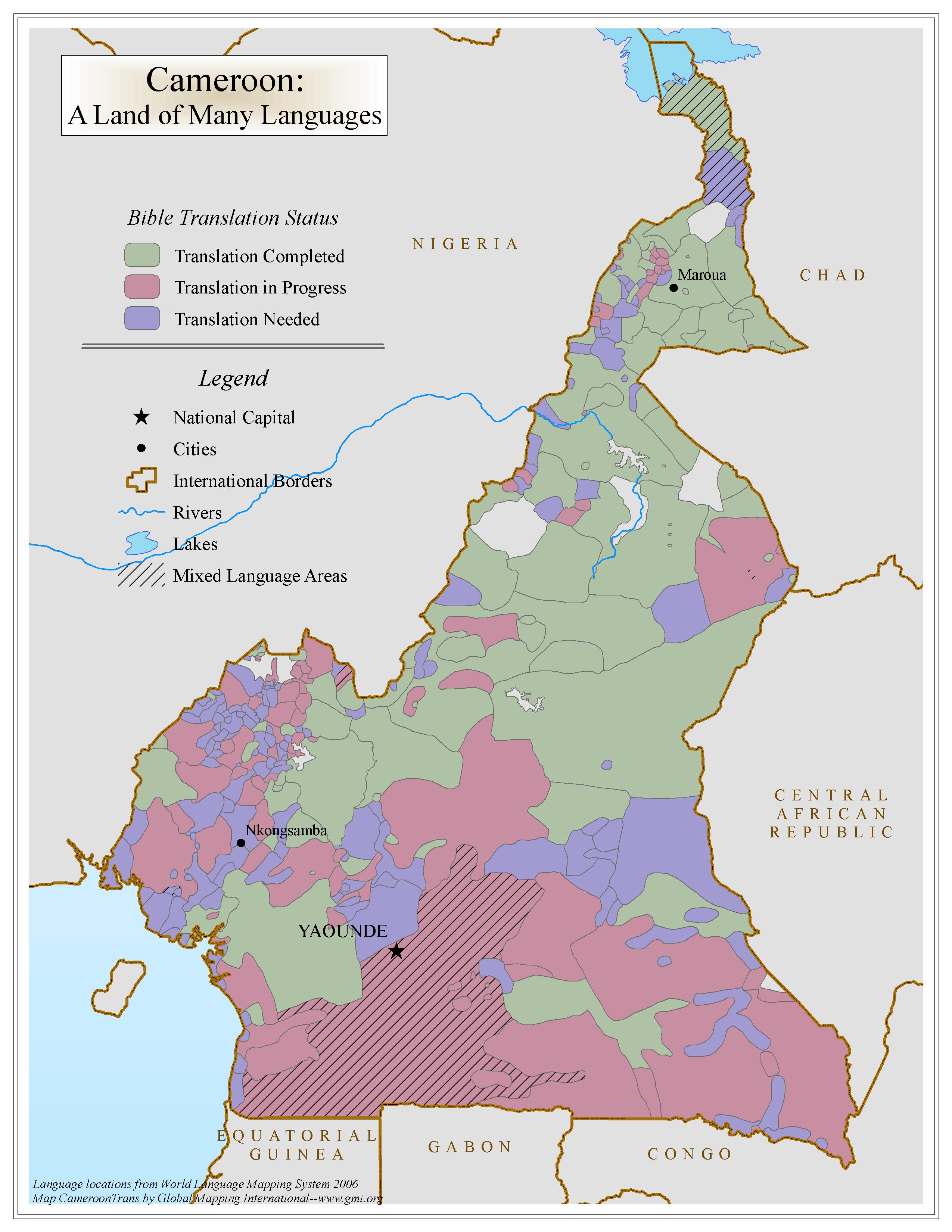
Cameroon: A Land of Many Languages
·Type: Maps ·Map Date: 2006 ·Data Source: World Language Mapping System 2006 ·Producer: Global Mapping International ·Collection: Intro to Missions (GMMS 2007) ·Size: 8½ x 11 inches, portrait...
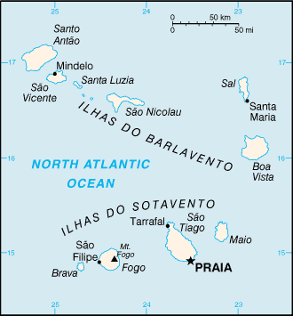
Cape Verde map (World Factbook)
·Type: Maps ·Description: Cape Verde (Factbook) ·Map Date: 2007 ·Producer: US Government ·Collection: World Factbook country maps ·Size: 326x350 px, portrait ·Categories: Type :: Maps...
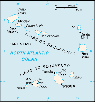
Cape Verde map (World Factbook, modified)
·Type: Maps ·Description: Cape Verde (World Factbook, modified to add country name) ·Map Date: 2007 ·Producer: US Government modified by Joshua Project ·Collection: World Factbook country maps ·Size:...
CENTRAL AFRICAN COUNTRIES CATCHING THE FIRE
·Type: Documents ·Date: 27 October 1998 ·Authors: Ross Campbell ·Producer: AD2000 and Beyond Movement ·Collection: Regional/Country Reports ·Pages: 6 ·Categories: Type :: Documents Continent/Region...
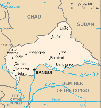
Central African Republic map (World Factbook)
·Type: Maps ·Description: Central African Republic (Factbook) ·Map Date: 2007 ·Producer: US Government ·Collection: World Factbook country maps ·Size: 330x355 px, portrait ·Categories: Type :: Maps...
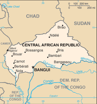
Central African Republic map (World Factbook, modified)
·Type: Maps ·Description: Central African Republic (World Factbook, modified to add country name) ·Map Date: 2007 ·Producer: US Government modified by Joshua Project ·Collection: World Factbook country maps...
Chad map (World Factbook)
·Type: Maps ·Description: Chad ·Map Date: 2007 ·Producer: US Government ·Collection: World Factbook country maps ·Size: 633x324 px, portrait ·Categories: Type :: Maps Continent/Region :: Africa...
Chad map (World Factbook, modified)
·Type: Maps ·Description: Chad (World Factbook, modified to add country name) ·Map Date: 2007 ·Producer: US Government modified by Joshua Project ·Collection: World Factbook country maps ·Size: 633x324 px,...
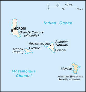
Comoros map (World Factbook)
·Type: Maps ·Description: Comoros (Factbook) ·Map Date: 2007 ·Producer: US Government ·Collection: World Factbook country maps ·Size: 329x355 px, portrait ·Categories: Type :: Maps Continent/Region...
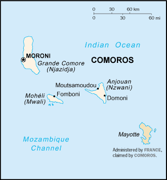
Comoros map (World Factbook, modified)
·Type: Maps ·Description: Comoros (World Factbook, modified to add country name) ·Map Date: 2007 ·Producer: US Government modified by Joshua Project ·Collection: World Factbook country maps ·Size: 329x355...
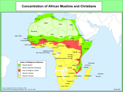
Concentration of African Muslims and Christians
·Type: Maps ·Description: Density of African Muslim and Christian Populations ·Map Date: 2000 ·Producer: Global Mapping International ·Collection: The World of Islam (WV 2002) ·Size: 8½ x 11 Inches,...
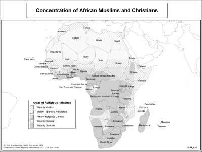
Concentration of African Muslims and Christians (BW)
·Type: Maps ·Description: Density of African Muslim and Christian Populations ·Map Date: 2002 ·Producer: Global Mapping International ·Collection: The World of Islam (WV 2002) ·Size: 8½ x 11 Inches,...
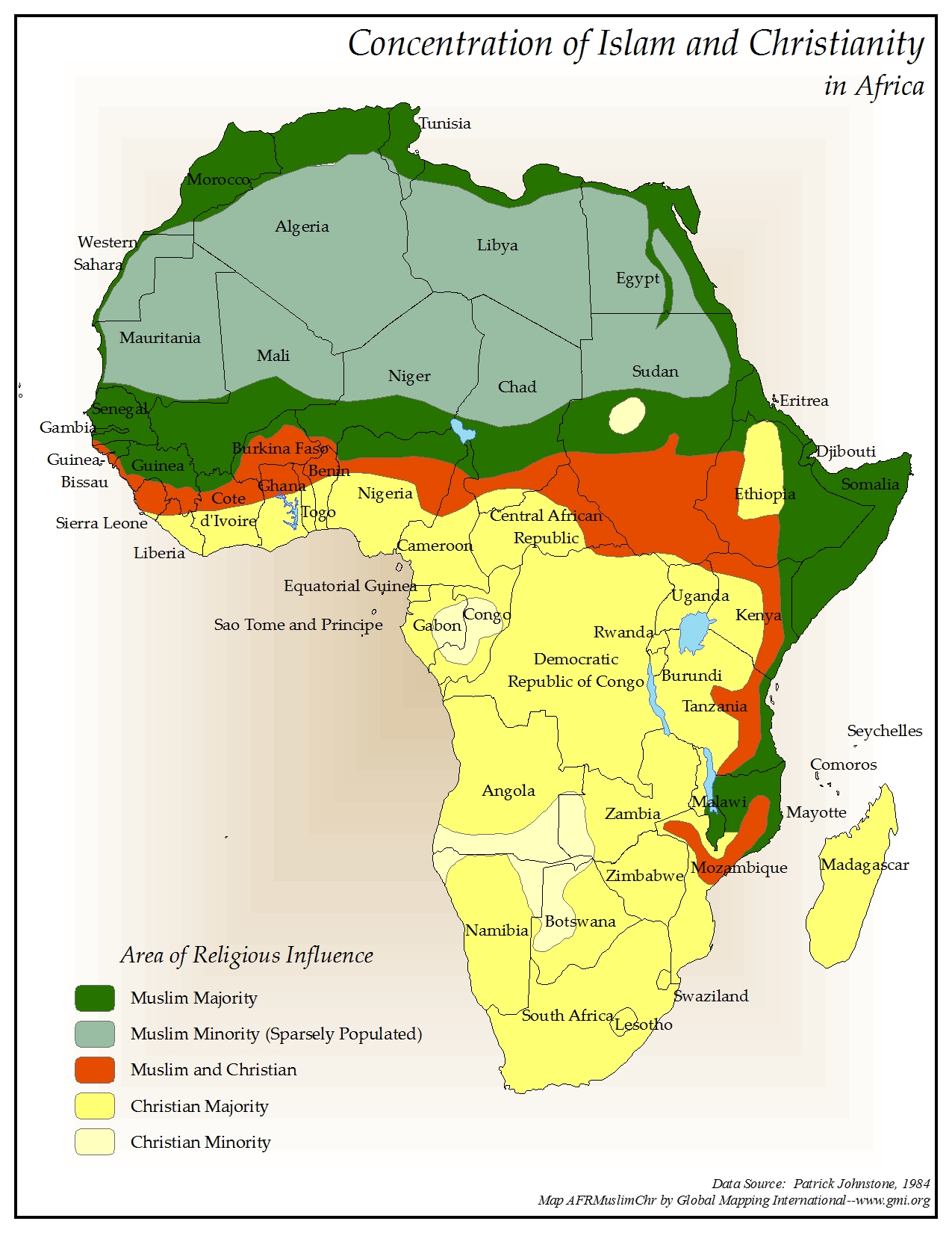
Concentration of Islam and Christianity in Africa
·Type: Maps ·Map Date: 2006 ·Data Source: Patrick Johnstone, 1984 ·Producer: Global Mapping International ·Collection: Reaching Africa (GMMS 2007) ·Size: 8½ x 11 inches, portrait ·Categories:...
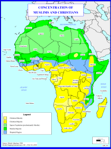
Concentration of Muslims and Christians
·Type: Maps ·Description: Concentration of Muslims and Christians in Africa ·Map Date: 1998 ·Producer: Global Mapping International ·Collection: Reaching Africa (WorldVue 2002) ·Size: 8½ x 11 Inches,...
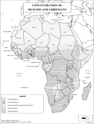
Concentration of Muslims and Christians (BW)
·Type: Maps ·Description: Concentration of Muslims and Christians in Africa ·Map Date: 2002 ·Producer: Global Mapping International ·Collection: Reaching Africa (WorldVue 2002) ·Size: 8½ x 11 Inches,...

