Africa
20/20: Progress & Challenges in Africa (Missio Nexus)
Over 20 years since Nelson Mandela’s release from prison have brought significant change to Africa. All over the world there is optimism about progress and new opportunity in Africa. At the same time there are still great challenges that must...
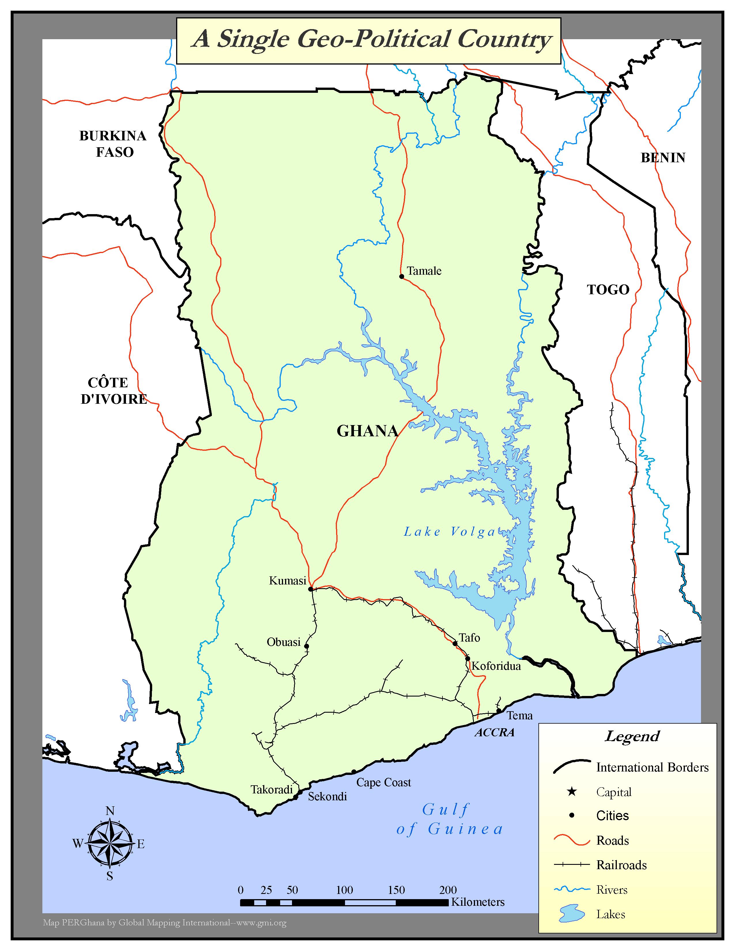
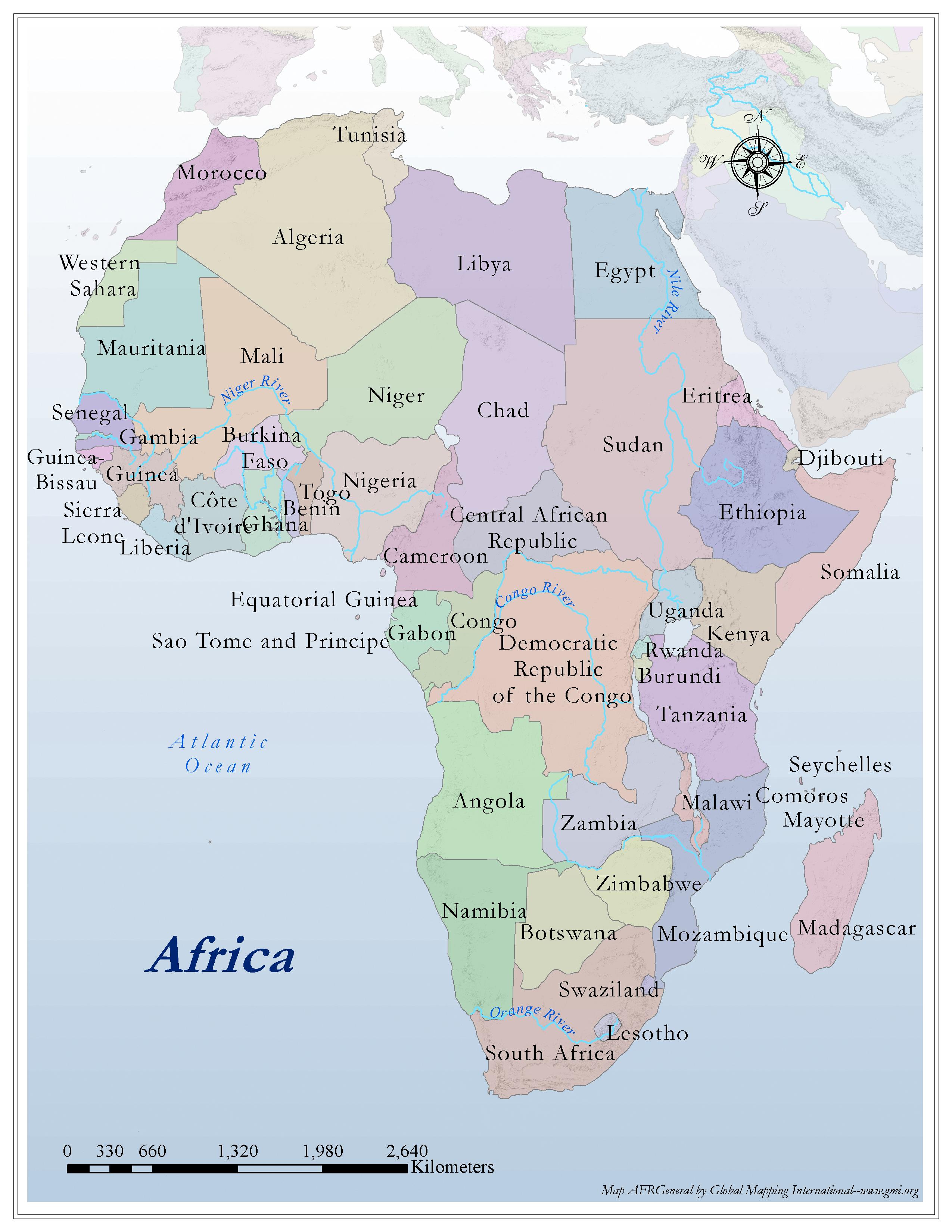
A Single Geo-Political Country
·Type: Maps ·Map Date: 2006 ·Producer: Global Mapping International ·Collection: Worldwide Perspectives GMMS 2007 ·Size: 8½ x 11 inches, portrait ·Categories: Type :: Maps Continent/Region :: Africa...
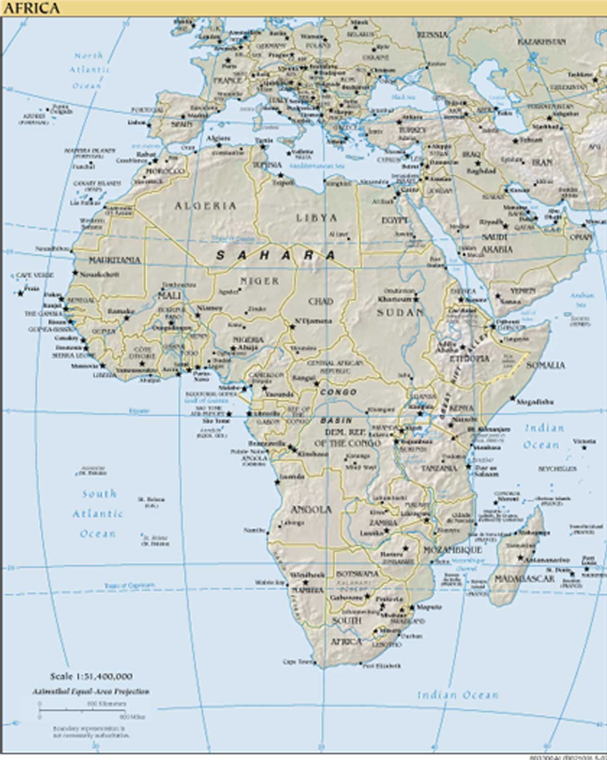
Africa
·Type: Maps ·Map Date: 2007 ·Producer: US Government ·Collection: World Factbook reference maps ·Size: 4x5 Inches, portrait ·Categories: Type :: Maps Collection :: World Factbook reference maps...
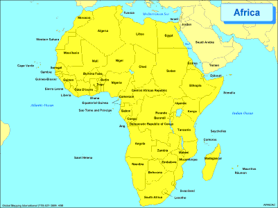
Africa
·Type: Maps ·Description: Political Map of Africa ·Map Date: 2002 ·Producer: Global Mapping International ·Collection: Regions (WorldVue 2002) ·Size: 8½ x 11 Inches, landscape ·Categories:...
Africa
·Type: Maps ·Map Date: 2006 ·Producer: Global Mapping International ·Collection: Reaching Africa (GMMS 2007) ·Size: 8½ x 11 inches, portrait ·Categories: Type :: Maps Continent/Region :: Africa...
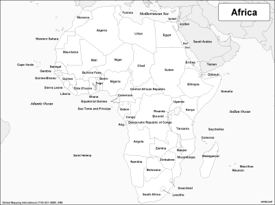
Africa (BW)
·Type: Maps ·Description: Political Map of Africa ·Map Date: 2002 ·Producer: Global Mapping International ·Collection: Regions (WorldVue 2002) ·Size: 8½ x 11 Inches, landscape ·Categories:...
Africa (Operation World)
Largest Religion: Christian Number Languages: 2,110 Population: 1,373,486,47 For more information go to Africa on the Operation World website. The above link opens in a new tab.
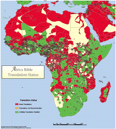
Africa Bible Translation Status
·Type: Maps ·Map Date: 2006 ·Data Source: World Language Mapping System ·Producer: Global Mapping International ·Collection: Wall Maps ·Size: 40 by 36 inches, portrait ·Categories: Type :: Maps...
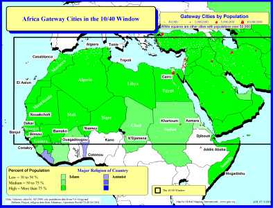
Africa Gateway Cities in The 10/40 Window
·Type: Maps ·Description: Gateway Cities in Africa to the 10/40 Window ·Map Date: 2001 ·Producer: Global Mapping International ·Collection: Reaching Africa (WorldVue 2002) ·Size: 8½ x 11 Inches,...
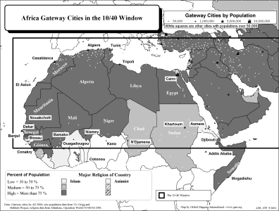
Africa Gateway Cities in The 10/40 Window (BW)
·Type: Maps ·Description: Gateway Cities in Africa to the 10/40 Window ·Map Date: 2002 ·Producer: Global Mapping International ·Collection: Reaching Africa (WorldVue 2002) ·Size: 8½ x 11 Inches,...
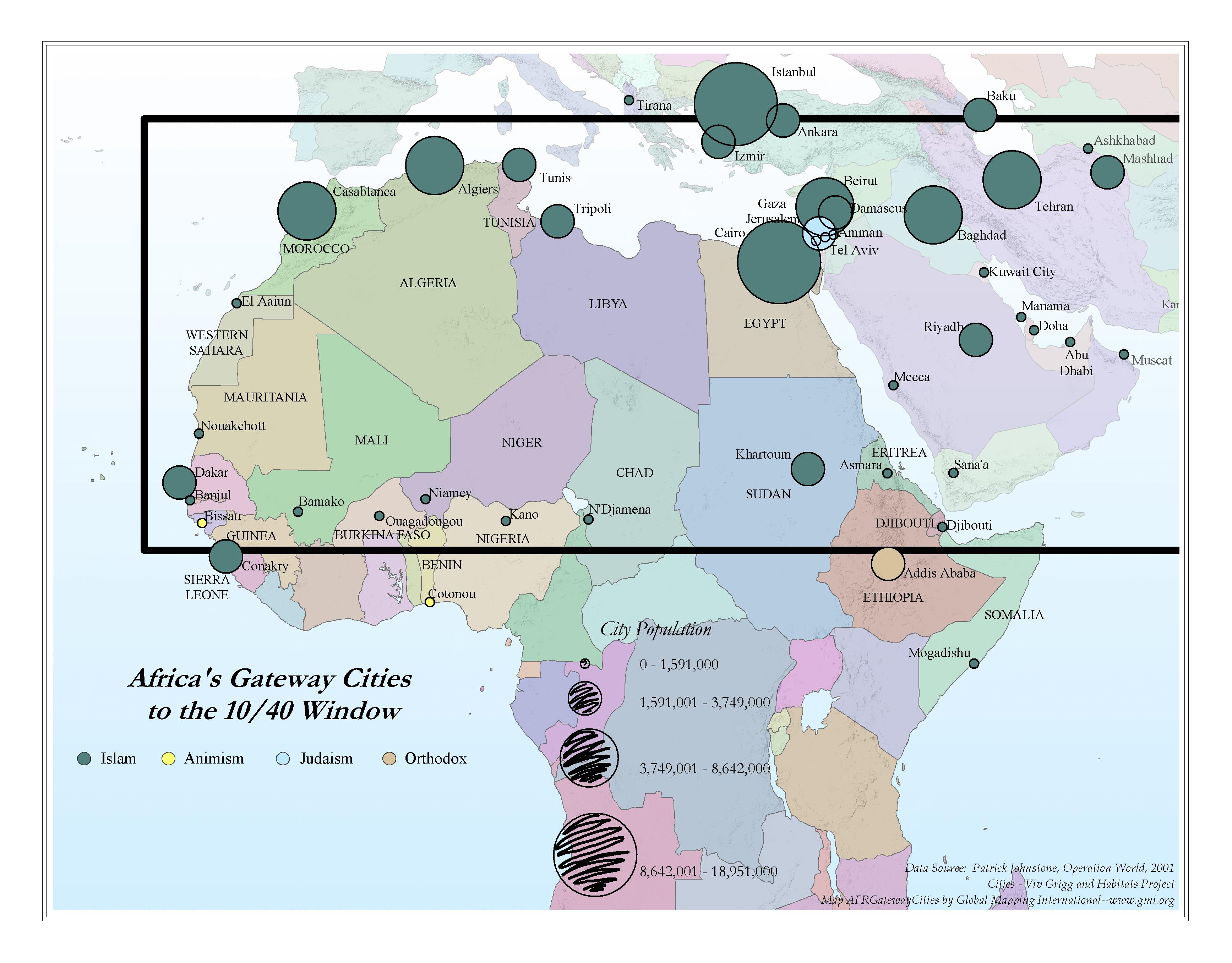
Africa Gateway Cities to the 10/40 Window
·Type: Maps ·Map Date: 2006 ·Data Source: Operation World 2001 Cities - Viv Grigg and Habitats Project ·Producer: Global Mapping International ·Collection: Reaching Africa (GMMS 2007) ·Size: 8½ x 11...
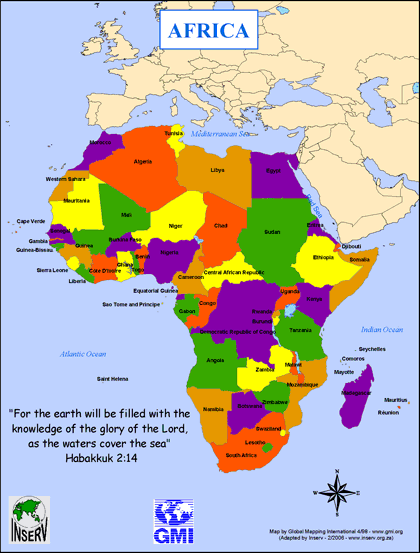
Africa Map (Coloring in Countries for MANI)
·Type: Maps ·Description: ·Collection: INSERV Maps ·Categories: Type :: Maps Continent/Region :: Africa Topic :: Geography :: Maps Topic :: Movements :: Continental Movements :: Africa Partners :: INSERV
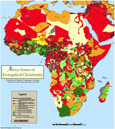
Africa Status of Evangelical Christianity
·Type: Maps ·Description: Global Status of Evangelical Christianity for ethnolinguistic peoples in Africa ·Date: 20 February 2008 ·Data Source: peoplegroups.org ·Producer: Global Mapping International...
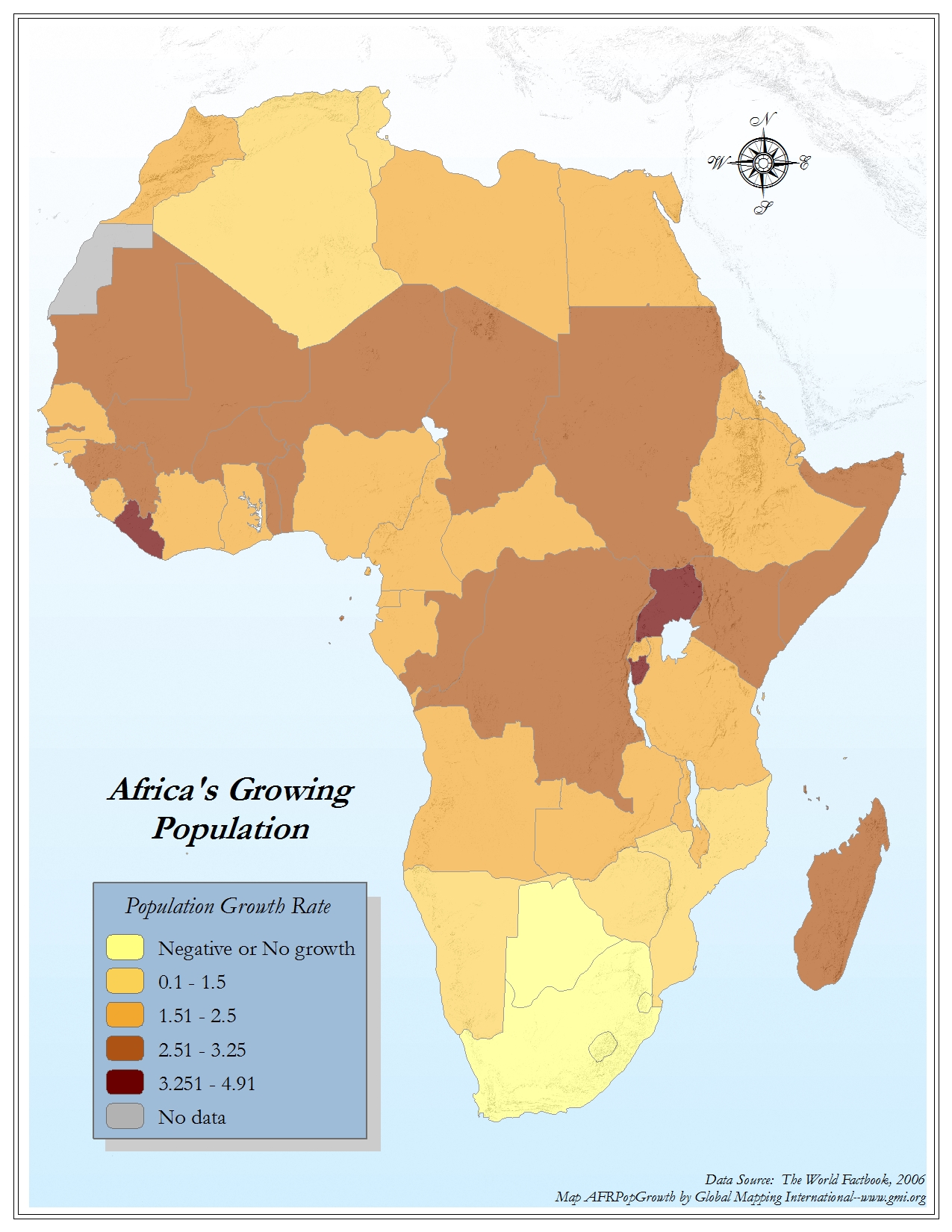
Africa's Growing Population
·Type: Maps ·Map Date: 2006 ·Data Source: The World Factbook, 2006 ·Producer: Global Mapping International ·Collection: Factbook (GMMS 2007) ·Size: 8½ x 11 inches, portrait ·Categories: Type...
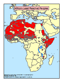
Africa's Least Reached Peoples (areas)
·Type: Maps ·Map Date: January 2008 ·Data Source: Statistics from Joshua Project ·Producer: Global Mapping International ·Collection: General Maps ·Size: 8.5 x 11 inches, portrait ·Categories: Type...
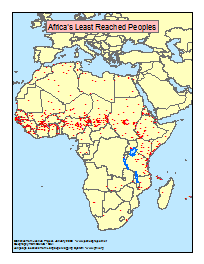
Africa's Least Reached Peoples (points)
·Type: Maps ·Map Date: January 2008 ·Data Source: Statistics from Joshua Project ·Producer: Global Mapping International ·Collection: General Maps ·Size: 8.5 x 11 inches, portrait ·Categories: Type...
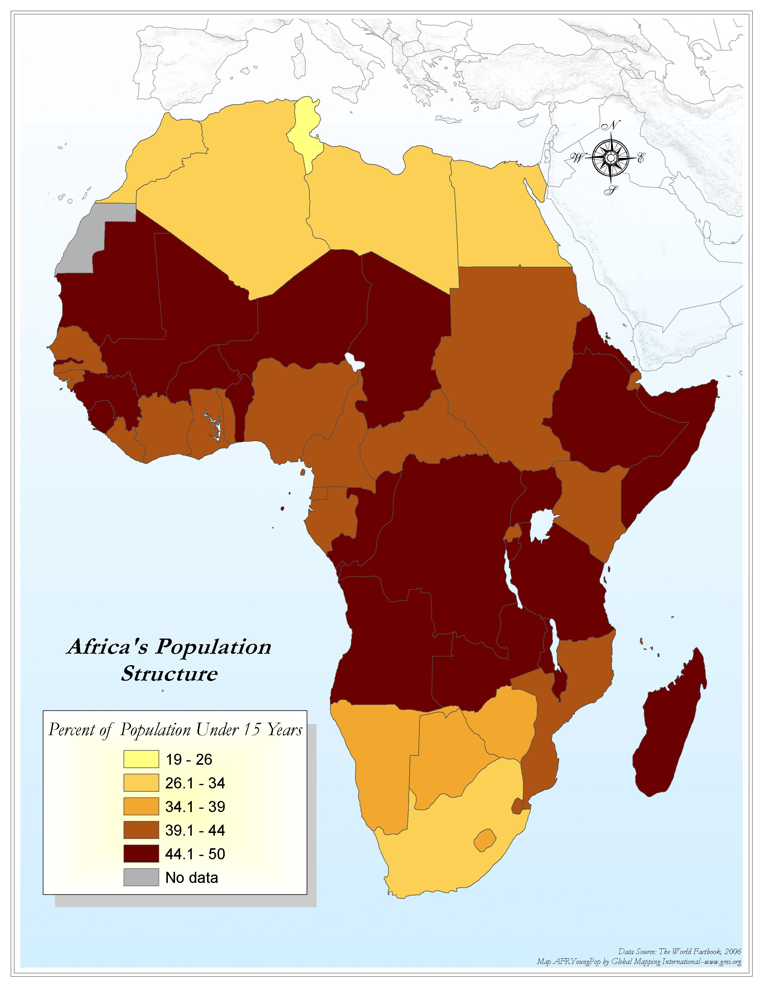
Africa's Population Structure
·Type: Maps ·Map Date: 2006 ·Data Source: World Factbook 2006 ·Producer: Global Mapping International ·Collection: Factbook (GMMS 2007) ·Size: 8½ x 11 inches, portrait ·Categories: Type ::...
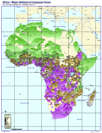
Africa- Major Religion of Language Areas
·Type: Maps ·Map Date: 2006 ·Data Source: ILS International ·Producer: ILS International ·Collection: Wall Maps ·Size: 36 by 46.6 inches, portrait ·Categories: Type :: Maps Continent/Region :: Africa...
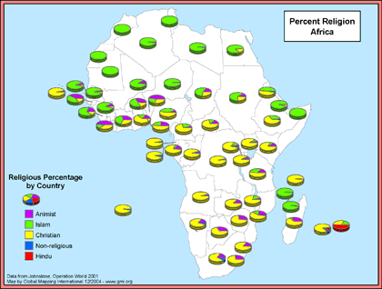
Africa- Percent Religion
·Type: Maps ·Map Date: December 2004 ·Data Source: Johnstone, Operation World 2001 ·Producer: Global Mapping International ·Collection: General Maps ·Size: 8.5 by 11 inches, landscape ·Categories:...
.gif)
Africa- Population Density (Landscan)
·Type: Maps ·Map Date: 2008 ·Data Source: Landscan, 2002 ·Producer: Global Mapping International ·Collection: General Maps ·Size: 8.5 by 11 inches, portrait ·Categories: Type :: Maps...
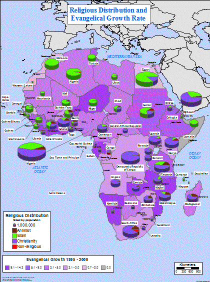
Africa- Religious Distribution and Evangelical Growth Rate
·Type: Maps ·Map Date: February 2004 ·Data Source: Johnstone, Operation World CD-Rom, 2001 ·Producer: Global Mapping International ·Collection: General Maps ·Size: 36 by 48 inches, portrait...
African National Initiatives
·Type: Documents ·Date: 16 September 1997 ·Authors: Many ·Producer: AD2000 and Beyond Movement ·Collection: Global Consultations ·Pages: 79 ·Categories: Type :: Documents Continent/Region :: Africa...

African Proverbs Build Bridges (Missio Nexus)
Local truths can be powerful tools for sharing the Gospel. Explore how God’s wisdom is embedded in the local truths of the world’s people. Then consider how you can share Christ more powerfully and train local believers more effectively...

African Readers Mark Their Place (Missio Nexus)
There is growing opportunity and need for African Christian authors. As you explore the bookmarks on the story of African readership in three specific countries (Kenya, Angola and Central African Republic), consider the opportunities, challenges and...
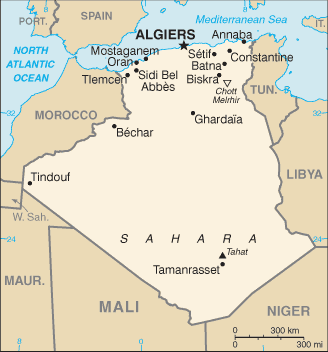
Algeria map (World Factbook)
·Type: Maps ·Description: Algeria (Factbook) ·Map Date: 2007 ·Producer: US Government ·Collection: World Factbook country maps ·Size: 328x352 px, portrait ·Categories: Type :: Maps Continent/Region...
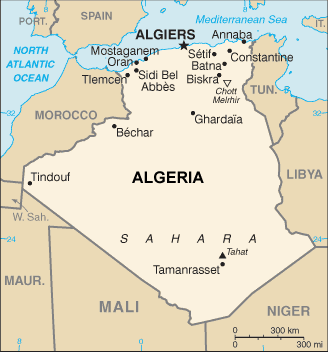
Algeria map (World Factbook, modified)
·Type: Maps ·Description: Algeria (World Factbook, modified to add country name) ·Map Date: 2007 ·Producer: US Government modified by Joshua Project ·Collection: World Factbook country maps ·Size: 328x352...
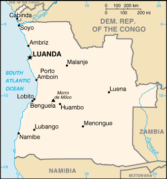
Angola map (World Factbook)
·Type: Maps ·Description: Angola (Factbook) ·Map Date: 2007 ·Producer: US Government ·Collection: World Factbook country maps ·Size: 329x351 px, portrait ·Categories: Type :: Maps Continent/Region ::...
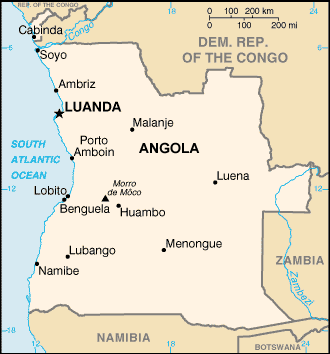
Angola map (World Factbook, modified)
·Type: Maps ·Description: Angola (World Factbook, modified to add country name) ·Map Date: 2007 ·Producer: US Government modified by Joshua Project ·Collection: World Factbook country maps ·Size: 329x351...
Benin map (World Factbook)
·Type: Maps ·Description: Benin (Factbook) ·Map Date: 2007 ·Producer: US Government ·Collection: World Factbook country maps ·Size: 328x352 px, portrait ·Categories: Type :: Maps Continent/Region ::...
Benin map (World Factbook, modified)
·Type: Maps ·Description: Benin (World Factbook, modified to add country name) ·Map Date: 2007 ·Producer: US Government modified by Joshua Project ·Collection: World Factbook country maps ·Size: 328x352 px,...

