| Product Image |
Resource Name- |
Price |
Manufacturer |
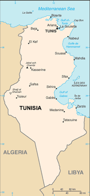 |
·Type: Maps ·Description: Tunisia (World Factbook, modified to add country name) ·Map Date: 2007 ·Producer: US Government modified by Joshua Project ·Collection: World Factbook country maps ·Size: 328x714 px, landscape ·Categories: Type :: Maps Continent/Region :: Africa Collection :: World Factbook country maps Country :: Tunisia Partners :: U.S. Government |
... more info
Max: 1
|
|
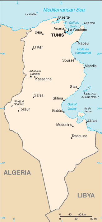 |
·Type: Maps ·Description: Tunisia (Factbook) ·Map Date: 2007 ·Producer: US Government ·Collection: World Factbook country maps ·Size: 328x714 px, landscape ·Categories: Type :: Maps Continent/Region :: Africa Collection :: World Factbook country maps Country :: Tunisia Partners :: U.S. Government |
... more info
Max: 1
|
|
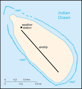 |
·Type: Maps ·Description: Tromelin Island (Factbook) ·Map Date: 2007 ·Producer: US Government ·Collection: World Factbook country maps ·Size: 330x355 px, landscape ·Categories: Type :: Maps Continent/Region :: Africa Collection :: World Factbook country maps Country :: Tromelin Island Partners :: U.S. Government |
... more info
Max: 1
|
|
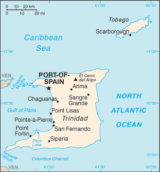 |
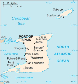
·Type: Maps ·Description: Trinidad and Tobago (World Factbook, modified to add country name) ·Map Date: 2007 ·Producer: US Government modified by Joshua Project ·Collection: World Factbook country maps ·Size: 329x353 px, landscape ·Categories: Type :: Maps Collection :: World Factbook country maps Country :: Trinidad and Tobago Partners :: U.S. Government |
... more info
Max: 1
|
|
 |
·Type: Maps ·Description: Trinidad and Tobago (Factbook) ·Map Date: 2007 ·Producer: US Government ·Collection: World Factbook country maps ·Size: 329x353 px, landscape ·Categories: Type :: Maps Collection :: World Factbook country maps Country :: Trinidad and Tobago Partners :: U.S. Government |
... more info
Max: 1
|
|
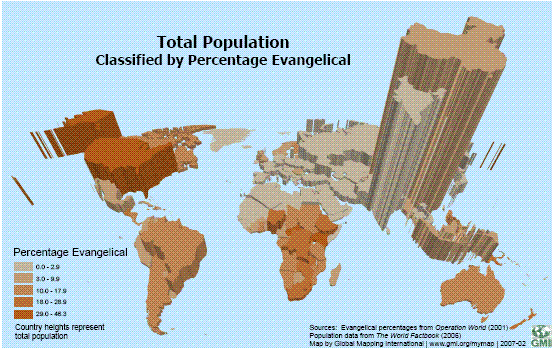 |
·Type: Maps ·Description: Note that animated version of map is available under ·Map Date: February 2007 ·Data Source: Operation World 2001 and World Factbook 2006 ·Producer: Global Mapping International ·Collection: Projects 2007 ·Size: 10.2 by 6.5 inches, landscape The file is 8 megabytes so will take sometime to download. ·Categories: Type :: Maps Continent/Region :: World Topic :: Statistical Partners :: Global Mapping International... |
... more info
Max: 1
|
|
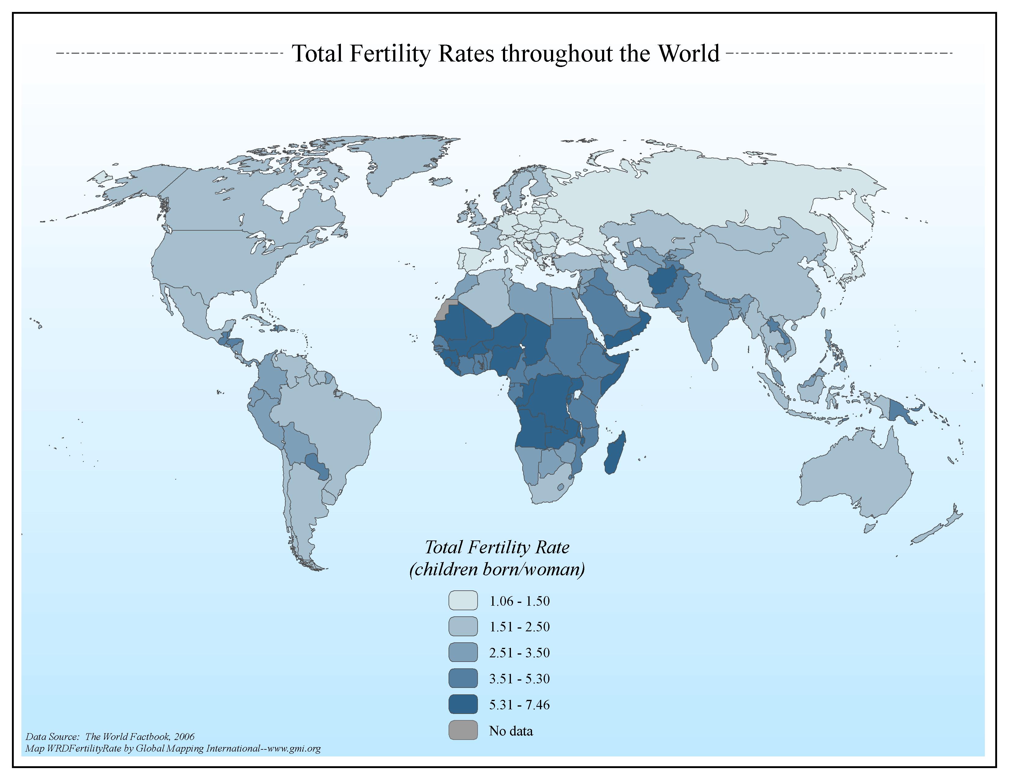 |
·Type: Maps ·Map Date: 2006 ·Data Source: The World Factbook, 2006 ·Producer: Global Mapping International ·Collection: Factbook (GMMS 2007) ·Size: 8½ x 11 inches, landscape ·Categories: Type :: Maps Continent/Region :: World Topic :: Statistical Topic :: Social Collection :: GMI Map Collections :: Factbook (GMMS 2007) Collection :: GMI Map Collections :: General World Maps (GMMS 2007) Partners :: Global Mapping International |
... more info
Max: 1
|
|
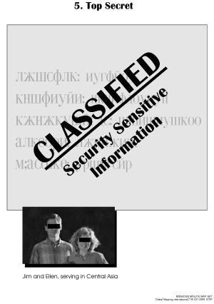 |
·Type: Maps ·Description: Top Secret! ·Map Date: 2002 ·Producer: Global Mapping International ·Collection: Missions Minute (WorldVue 2002) ·Size: 8½ x 11 Inches, portrait ·Categories: Type :: Maps Collection :: GMI Map Collections :: Missions Minute (WorldVue 2002) Topic :: Strategy Topic :: Concepts Partners :: Global Mapping International |
... more info
Max: 1
|
|
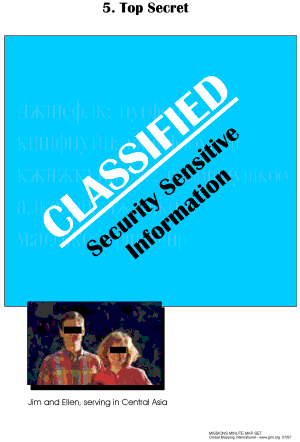 |
·Type: Maps ·Description: Top Secret! ·Map Date: 1997 ·Producer: Global Mapping International ·Size: 8½ x 11 Inches, portrait ·Categories: Type :: Maps Topic :: Strategy Topic :: Concepts Partners :: Global Mapping International |
... more info
Max: 1
|
|
 |
·Type: Maps ·Description: Top Secret! ·Map Date: 2002 ·Producer: Global Mapping International ·Collection: Missions Minute (WorldVue 2002) ·Size: 8½ x 11 Inches, portrait ·Categories: Type :: Maps Collection :: GMI Map Collections :: Missions Minute (WorldVue 2002) Topic :: Strategy Topic :: Concepts Partners :: Global Mapping International |
... more info
Max: 1
|
|
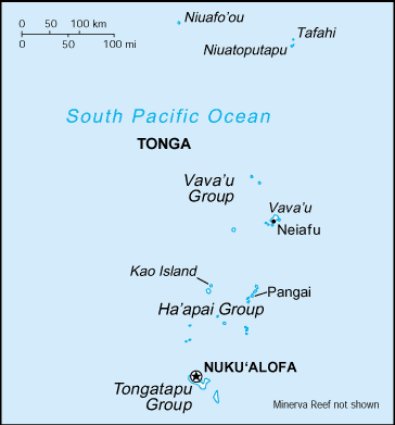 |
·Type: Maps ·Description: Tonga (World Factbook, modified to add country name) ·Map Date: 2007 ·Producer: US Government modified by Joshua Project ·Collection: World Factbook country maps ·Size: 364x391 px, landscape ·Categories: Type :: Maps Continent/Region :: Oceania Collection :: World Factbook country maps Country :: Tonga Partners :: U.S. Government |
... more info
Max: 1
|
|
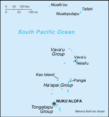 |
·Type: Maps ·Description: Tonga (Factbook) ·Map Date: 2007 ·Producer: US Government ·Collection: World Factbook country maps ·Size: 364x391 px, landscape ·Categories: Type :: Maps Continent/Region :: Oceania Collection :: World Factbook country maps Country :: Tonga Partners :: U.S. Government |
... more info
Max: 1
|
|
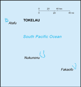 |
·Type: Maps ·Description: Tokelau (World Factbook, modified to add country name) ·Map Date: 2007 ·Producer: US Government modified by Joshua Project ·Collection: World Factbook country maps ·Size: 330x354 px, landscape ·Categories: Type :: Maps Continent/Region :: Oceania Collection :: World Factbook country maps Country :: Tokelau Partners :: U.S. Government |
... more info
Max: 1
|
|
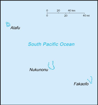 |
·Type: Maps ·Description: Tokelau (Factbook) ·Map Date: 2007 ·Producer: US Government ·Collection: World Factbook country maps ·Size: 330x354 px, landscape ·Categories: Type :: Maps Continent/Region :: Oceania Collection :: World Factbook country maps Country :: Tokelau Partners :: U.S. Government |
... more info
Max: 1
|
|
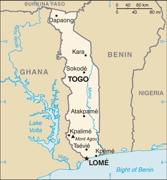 |
·Type: Maps ·Description: Togo (World Factbook, modified to add country name) ·Map Date: 2007 ·Producer: US Government modified by Joshua Project ·Collection: World Factbook country maps ·Size: 328x353 px, landscape ·Categories: Type :: Maps Continent/Region :: Africa Collection :: World Factbook country maps Country :: Togo Partners :: U.S. Government |
... more info
Max: 1
|
|
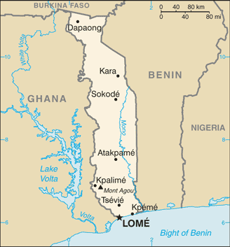 |
·Type: Maps ·Description: Togo (Factbook) ·Map Date: 2007 ·Producer: US Government ·Collection: World Factbook country maps ·Size: 328x353 px, landscape ·Categories: Type :: Maps Continent/Region :: Africa Collection :: World Factbook country maps Country :: Togo Partners :: U.S. Government |
... more info
Max: 1
|
|
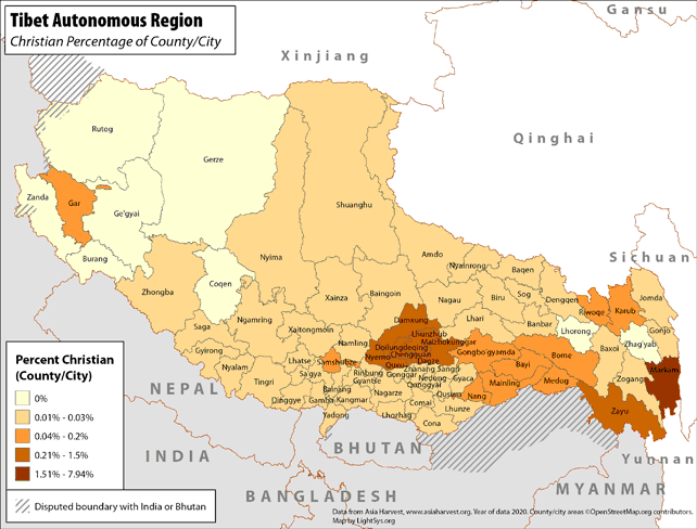 |
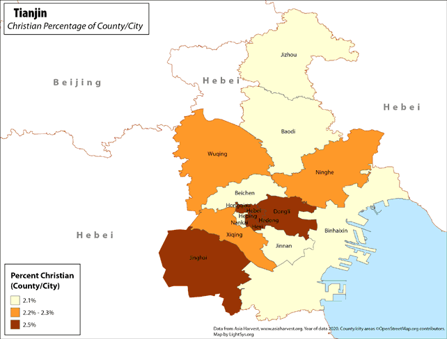
· Type: Maps · Map Date: 2018 · Data Source: Asia Harvest; county/city areas © OpenStreetMap contributors, http://www.openstreetmap.org/copyright. Data available under the Open Database License · Partners: LightSys Technology Services · Collection: Projects 2018 · Size: 8½ x 11 inches, landscape · Categories: Type :: Maps Continent/Region :: Asia Country :: China Topic :: Statistical Topic :: Religions,... |
... more info
|
|
 |
· Type: Maps · Map Date: 2019 · Data Source: Asia Harvest; county/city areas © OpenStreetMap contributors, http://www.openstreetmap.org/copyright. Data available under the Open Database License · Partners: LightSys Technology Services · Collection: Projects 2019 · Size: 8½ x 11 inches, landscape · Categories: Type :: Maps Continent/Region :: Asia Country :: China Topic :: Statistical Topic :: Religions,... |
... more info
|
|
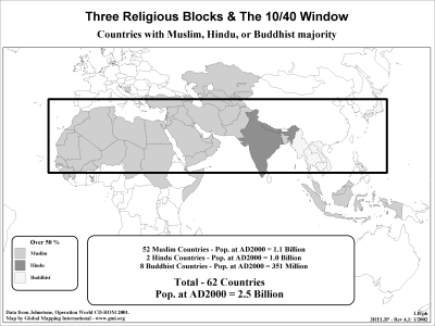 |
·Type: Maps ·Description: 3 Religious Blocks in the 10/40 Window ·Map Date: 2001 ·Producer: Global Mapping International ·Collection: Intro to Mission (WorldVue 2002) ·Size: 8½ x 11 Inches, landscape ·Categories: Type :: Maps Collection :: GMI Map Collections :: Intro to Mission (WorldVue 2002) Topic :: Concepts Partners :: Global Mapping International Topic :: Religions, General :: Multiple/Other Continent/Region :: 10/40 Window |
... more info
Max: 1
|
|
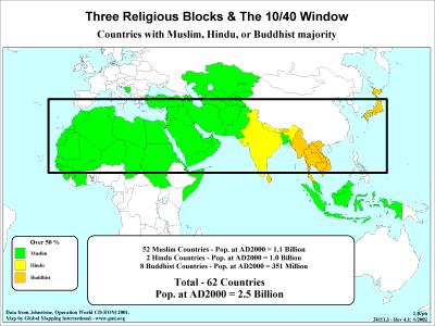 |
·Type: Maps ·Description: 3 Religious Blocks in the 10/40 Window ·Map Date: 2001 ·Producer: Global Mapping International ·Collection: Intro to Mission (WorldVue 2002) ·Size: 8½ x 11 Inches, landscape ·Categories: Type :: Maps Collection :: GMI Map Collections :: Intro to Mission (WorldVue 2002) Topic :: Statistical Topic :: Concepts Partners :: Global Mapping International Topic :: Religions, General :: Multiple/Other Continent/Region ::... |
... more info
Max: 1
|
|
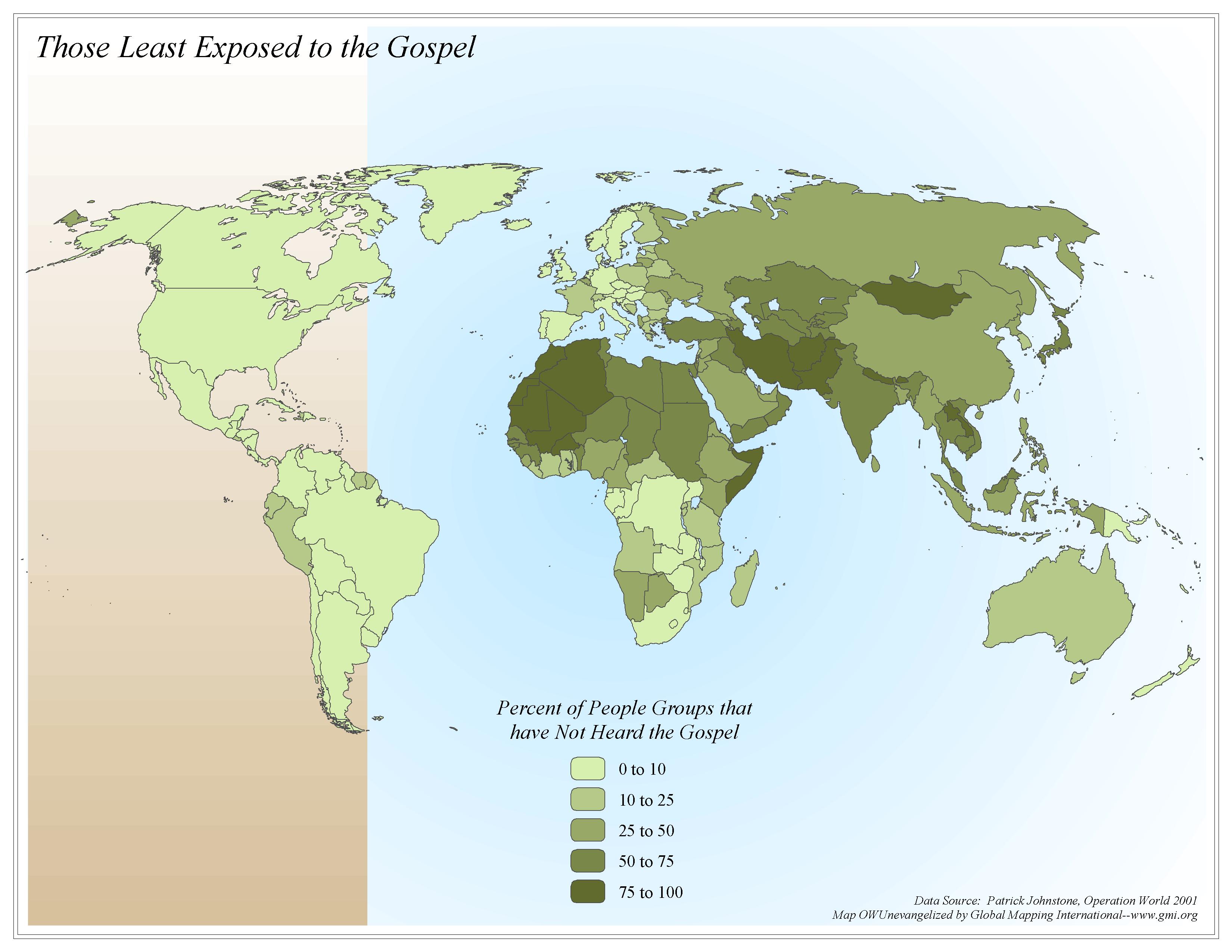 |
·Type: Maps ·Map Date: 2006 ·Data Source: Patrick Johnstone, Operation World 2001 ·Producer: Global Mapping International ·Collection: Operation World (GMMS 2007) ·Size: 8½ x 11 inches, landscape ·Categories: Type :: Maps Continent/Region :: World Topic :: Statistical Topic :: Peoples, multiple or unknown Collection :: GMI Map Collections :: Operation World (GMMS 2007) Partners :: Global Mapping International |
... more info
Max: 1
|
|
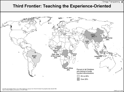 |
·Type: Maps ·Description: Teaching the Experience-Oriented is the Third Frontier ·Map Date: 2002 ·Producer: Global Mapping International ·Collection: Omega Model of Mission (WV 2002) ·Size: 8½ x 11 Inches, landscape ·Categories: Type :: Maps Collection :: GMI Map Collections :: Omega Model of Mission (WV 2002) Continent/Region :: World Topic :: Strategy Topic :: Concepts Partners :: Global Mapping International |
... more info
Max: 1
|
|
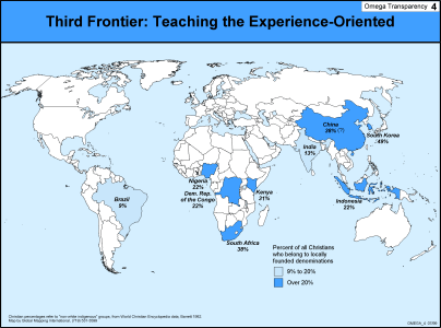 |
·Type: Maps ·Description: Teaching the Experience-Oriented is the Third Frontier ·Map Date: 1999 ·Producer: Global Mapping International ·Collection: Omega Model of Mission (WV 2002) ·Size: 8½ x 11 Inches, landscape ·Categories: Type :: Maps Collection :: GMI Map Collections :: Omega Model of Mission (WV 2002) Continent/Region :: World Topic :: Strategy Topic :: Concepts Partners :: Global Mapping International |
... more info
Max: 1
|
|
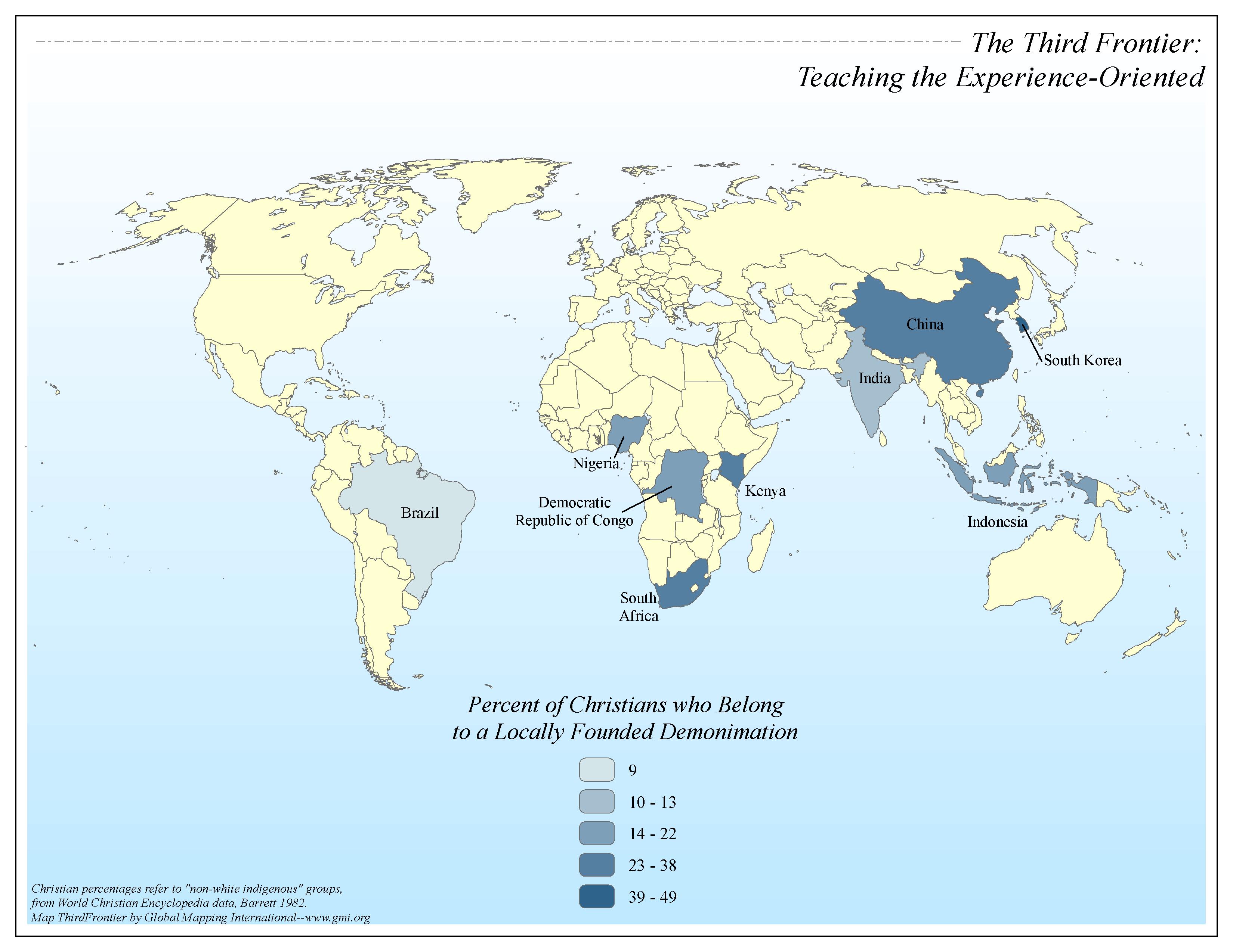 |
·Type: Maps ·Map Date: 2006 ·Data Source: Christian percentages refer to "non-white indigenous" groups, from World Christian Encyclopedia data, Barrett 1982. ·Producer: Global Mapping International ·Collection: Omega Model of Mission GMMS 2007 ·Size: 8½ x 11 inches, landscape ·Categories: Type :: Maps Continent/Region :: World Topic :: Strategy Topic :: Concepts Collection :: GMI Map Collections :: Omega Model of Mission GMMS 2007... |
... more info
Max: 1
|
|
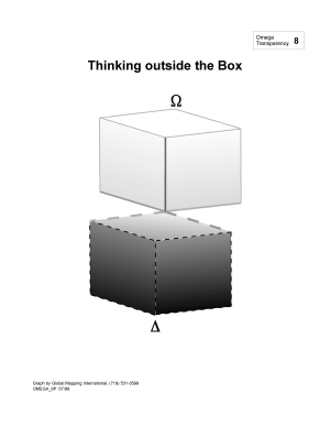 |
·Type: Maps ·Description: Thinking Outside the Box with the Omega Model Of Mission ·Map Date: 2002 ·Producer: Global Mapping International ·Collection: Omega Model of Mission (WV 2002) ·Size: 8½ x 11 Inches, portrait ·Categories: Type :: Maps Collection :: GMI Map Collections :: Omega Model of Mission (WV 2002) Continent/Region :: World Topic :: Concepts Type :: Graphs Partners :: Global Mapping International |
... more info
Max: 1
|
|