| Product Image |
Resource Name |
Price |
Manufacturer+ |
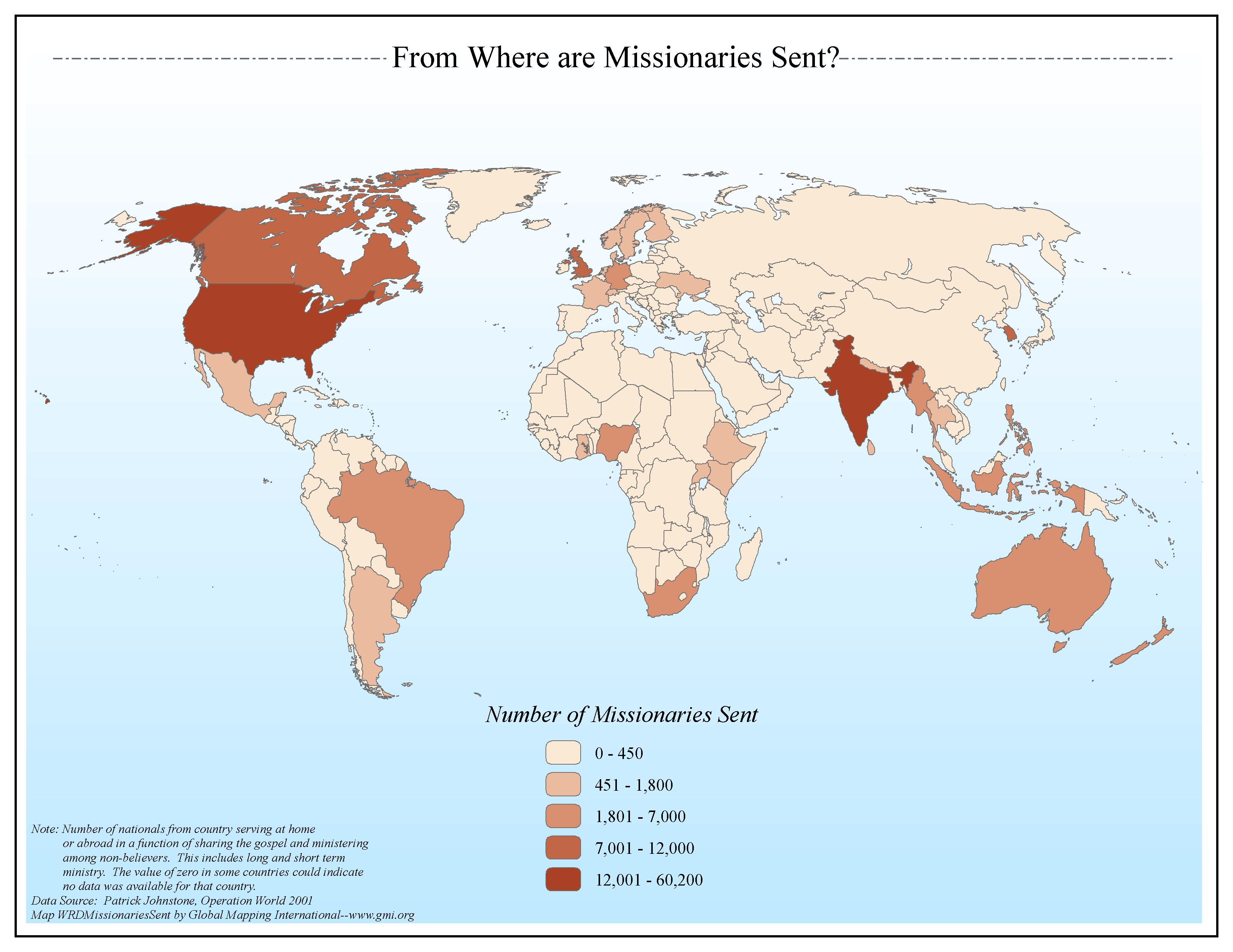 |
·Type: Maps ·Map Date: 2006 ·Data Source: Patrick Johnstone, Operation World 2001 ·Producer: Global Mapping International ·Collection: General World Maps (GMMS 2007) ·Size: 8½ x 11 inches, landscape ·Categories: Type :: Maps Continent/Region :: World Topic :: Statistical Topic :: Strategy Collection :: GMI Map Collections :: General World Maps (GMMS 2007) Partners :: Global Mapping International |
... more info
Max: 1
|
|
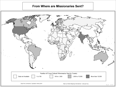 |
·Type: Maps ·Description: Where do Misionaries come from? ·Map Date: 2002 ·Producer: Global Mapping International ·Collection: Operation World (WorldVue 2002) ·Size: 8½ x 11 Inches, landscape ·Categories: Type :: Maps Collection :: GMI Map Collections :: Operation World (WorldVue 2002) Continent/Region :: World Topic :: Statistical Topic :: Strategy Partners :: Global Mapping International |
... more info
Max: 1
|
|
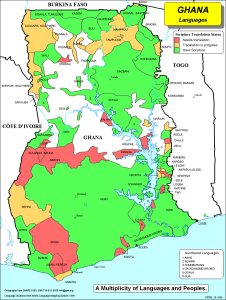 |
·Type: Maps ·Description: The Multiplicity of Languages and Peoples in Ghana ·Map Date: 2002 ·Producer: Global Mapping International ·Collection: Worldwide Perspectives (WV 2002) ·Size: 8½ x 11 Inches, portrait ·Note: Windows Metafile and Metafile in Word forms of this map require the GMISym.ttf font ·Categories: Type :: Maps Collection :: GMI Map Collections :: Worldwide Perspectives (WV 2002) Continent/Region :: Africa Topic ::... |
... more info
Max: 1
|
|
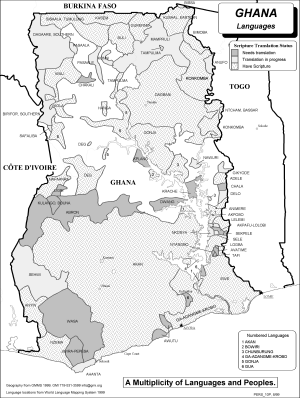 |
·Type: Maps ·Description: The Multiplicity of Languages and Peoples in Ghana ·Map Date: 2002 ·Producer: Global Mapping International ·Collection: Worldwide Perspectives (WV 2002) ·Size: 8½ x 11 Inches, portrait ·Note: Windows Metafile and Metafile in Word forms of this map require the GMISym.ttf font ·Categories: Type :: Maps Collection :: GMI Map Collections :: Worldwide Perspectives (WV 2002) Continent/Region :: Africa Topic ::... |
... more info
Max: 1
|
|
 |
·Type: Maps ·Description: The Single Geo-political country of Ghana ·Map Date: 2002 ·Producer: Global Mapping International ·Collection: Worldwide Perspectives (WV 2002) ·Size: 8½ x 11 Inches, portrait ·Note: Windows Metafile and Metafile in Word forms of this map require the GMISym.ttf font ·Categories: Type :: Maps Collection :: GMI Map Collections :: Worldwide Perspectives (WV 2002) Continent/Region :: Africa Country :: Ghana... |
... more info
Max: 1
|
|
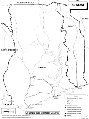 |
·Type: Maps ·Description: The Single Geo-political country of Ghana ·Map Date: 2002 ·Producer: Global Mapping International ·Collection: Worldwide Perspectives (WV 2002) ·Size: 8½ x 11 Inches, portrait ·Note: Windows Metafile and Metafile in Word forms of this map require the GMISym.ttf font ·Categories: Type :: Maps Collection :: GMI Map Collections :: Worldwide Perspectives (WV 2002) Continent/Region :: Africa Country :: Ghana... |
... more info
Max: 1
|
|
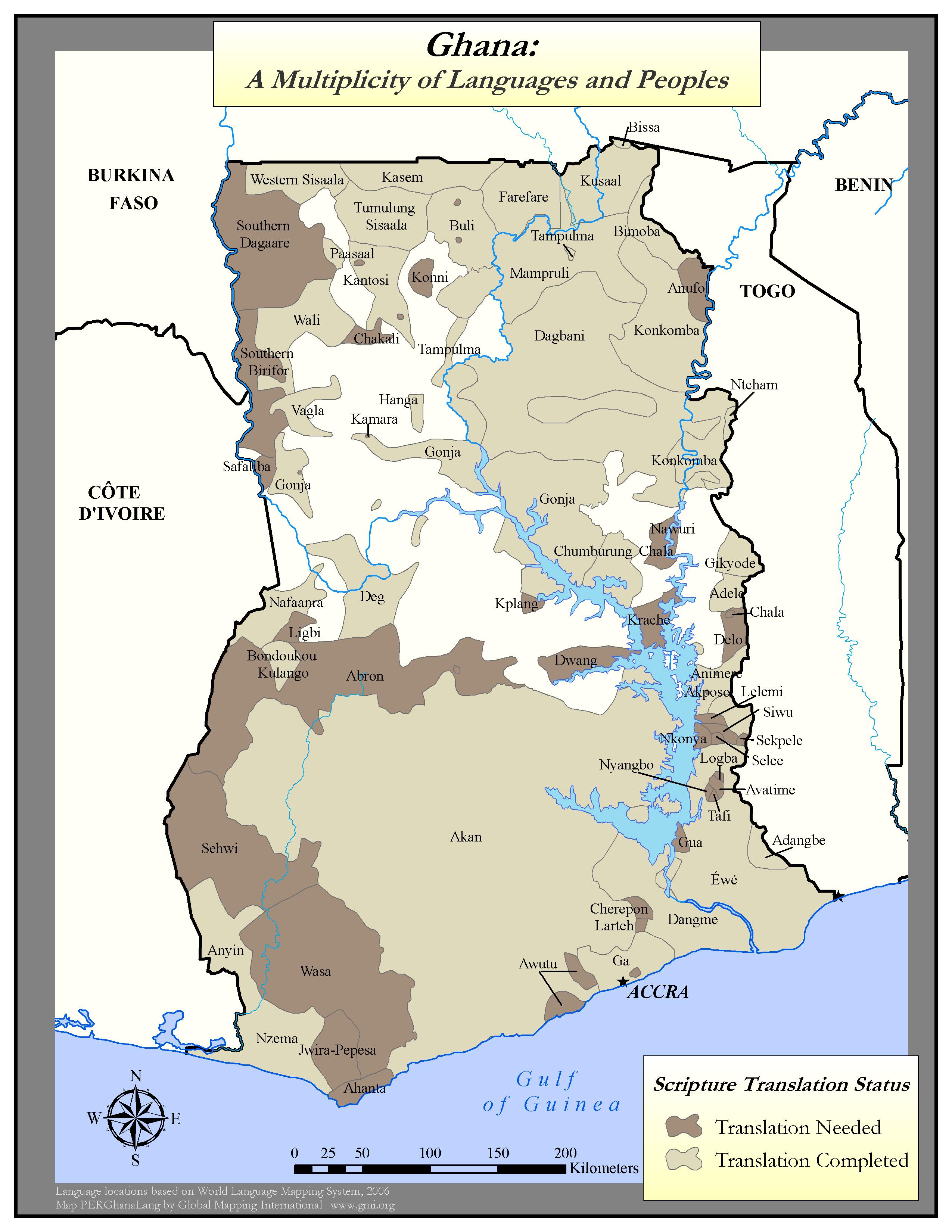 |
·Type: Maps ·Map Date: 2006 ·Data Source: Language locations based on World Language Mapping System, 2006 ·Producer: Global Mapping International ·Collection: Worldwide Perspectives GMMS 2007 ·Size: 8½ x 11 inches, portrait ·Categories: Type :: Maps Continent/Region :: Africa Topic :: Peoples, multiple or unknown Country :: Ghana Partners :: Global Mapping International Collection :: GMI Map Collections :: Worldwide Perspectives GMMS 2007... |
... more info
Max: 1
|
|
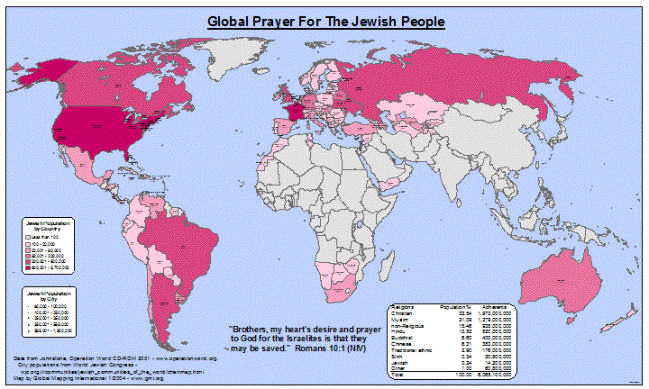 |
·Type: Maps ·Map Date: January 2004 ·Data Source: Data from Johnstone, Operation World CD-ROM 2001, City populations from World Jewish Congress ·Producer: Global Mapping International ·Collection: Projects 2003 ·Size: 36 by 60 inches, landscape ·Categories: Type :: Maps Continent/Region :: World Topic :: Statistical Partners :: Global Mapping International Collection :: GMI Map Collections :: Projects 2003 Topic :: Religions, General ::... |
... more info
Max: 1
|
|
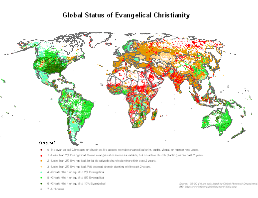 |
·Type: Maps ·Map Date: 2008 ·Data Source: GSEC Values calculated by Global Research Department, IMB ·Producer: Global Mapping International ·Collection: Projects 2008 ·Size: 8.5 by 11 inches, landscape ·Categories: Type :: Maps Continent/Region :: World Topic :: Statistical Topic :: Strategy Topic :: Peoples, multiple or unknown Partners :: Global Mapping International Collection :: GMI Map Collections :: Projects 2008 |
... more info
Max: 1
|
|
 |
·Description: GMI Cartographic Symbol font GMISym.ttf is required for correct display of many older GMI maps in Windows Metafile (.wmf), Word document (.doc) or PowerPoint (.ppt) formats. The font can be installed by downloading or dragging to your Windows font directory (usually C:windowsfonts) or using the "Install new font" item under File in the Fonts control panel. ·Categories: Partners :: Global Mapping International |
... more info
Max: 1
|
|
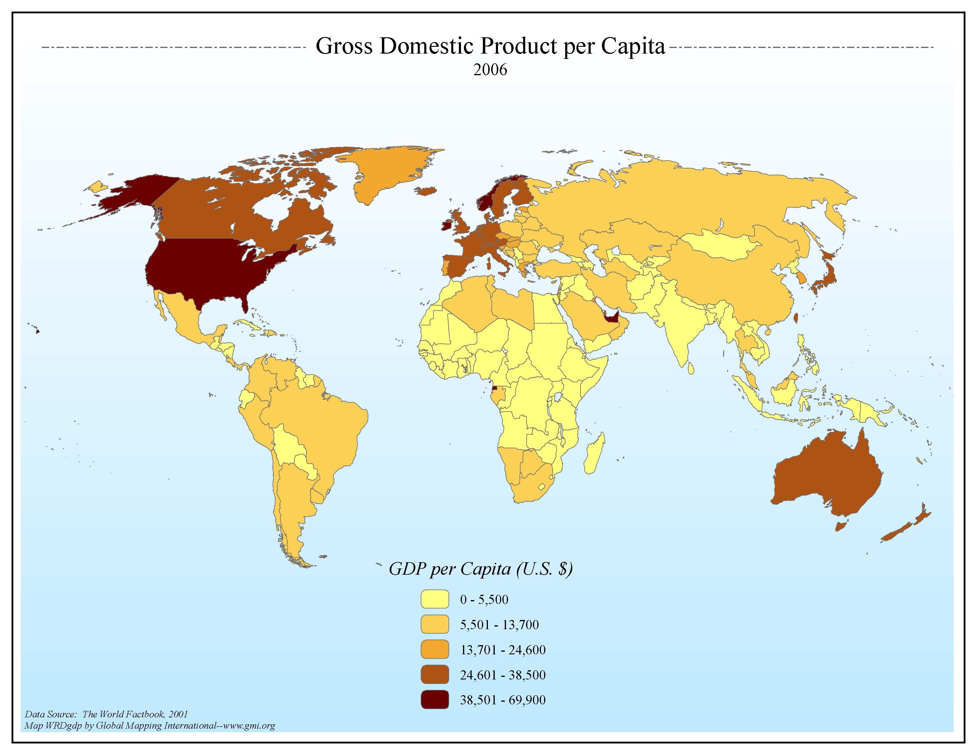 |
·Type: Maps ·Map Date: 2006 ·Data Source: The World Factbook, 2006 (Incorrectly noted as 2001 on map) ·Producer: Global Mapping International ·Collection: Factbook (GMMS 2007) ·Size: 8½ x 11 inches, landscape ·Categories: Type :: Maps Continent/Region :: World Topic :: Statistical Collection :: GMI Map Collections :: Factbook (GMMS 2007) Collection :: GMI Map Collections :: General World Maps (GMMS 2007) Partners :: Global Mapping... |
... more info
Max: 1
|
|
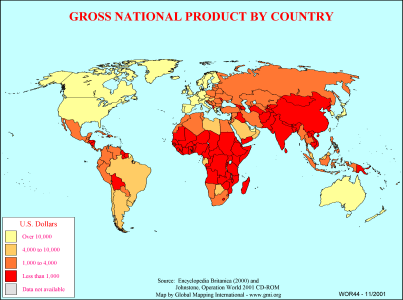 |
·Type: Maps ·Description: Country level divisions of gross national product ·Map Date: 2000 ·Producer: Global Mapping International ·Collection: General World Maps (WV 2002) ·Size: 8½ x 11 Inches, landscape ·Note: Windows Metafile and Metafile in Word forms of this map require the GMISym.ttf font ·Categories: Type :: Maps Collection :: GMI Map Collections :: General World Maps (WV 2002) Continent/Region :: World Partners :: Global... |
... more info
Max: 1
|
|
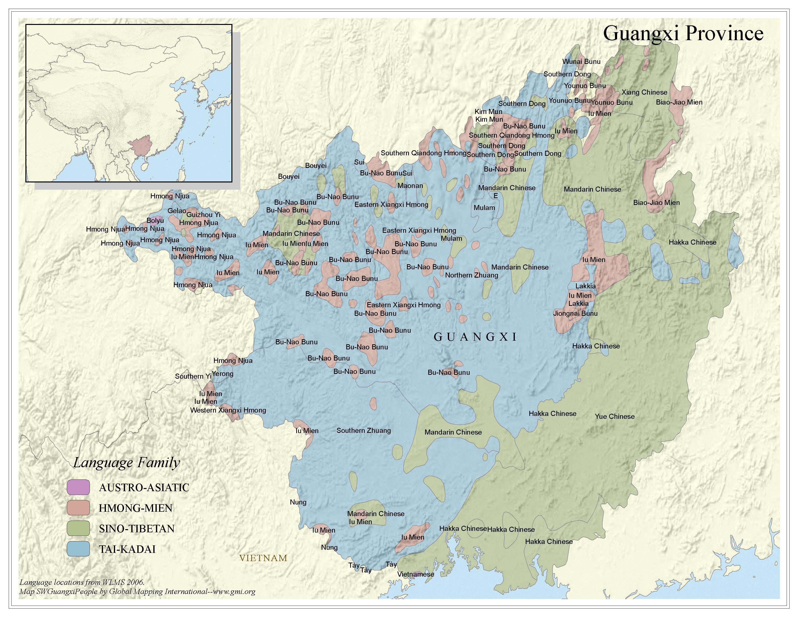 |
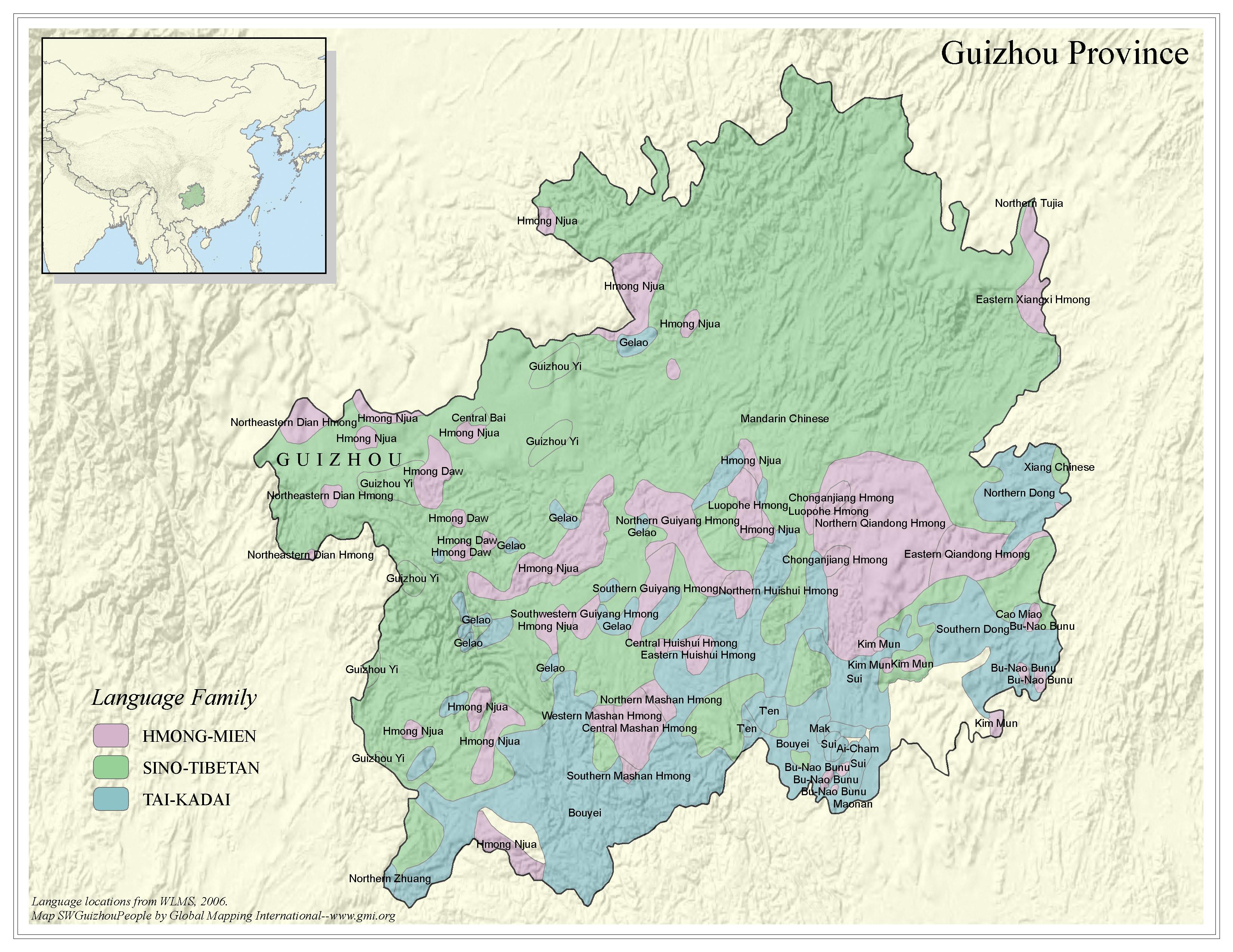
·Type: Maps ·Map Date: 2006 ·Data Source: Language locations from WLMS 2006. ·Producer: Global Mapping International ·Collection: China SW Minorities (GMMS 2007) ·Size: 8½ x 11 inches, landscape ·Categories: Type :: Maps Continent/Region :: Asia Topic :: Peoples, multiple or unknown Country :: China Collection :: GMI Map Collections :: China SW Minorities (GMMS 2007) Partners :: Global Mapping International |
... more info
Max: 1
|
|
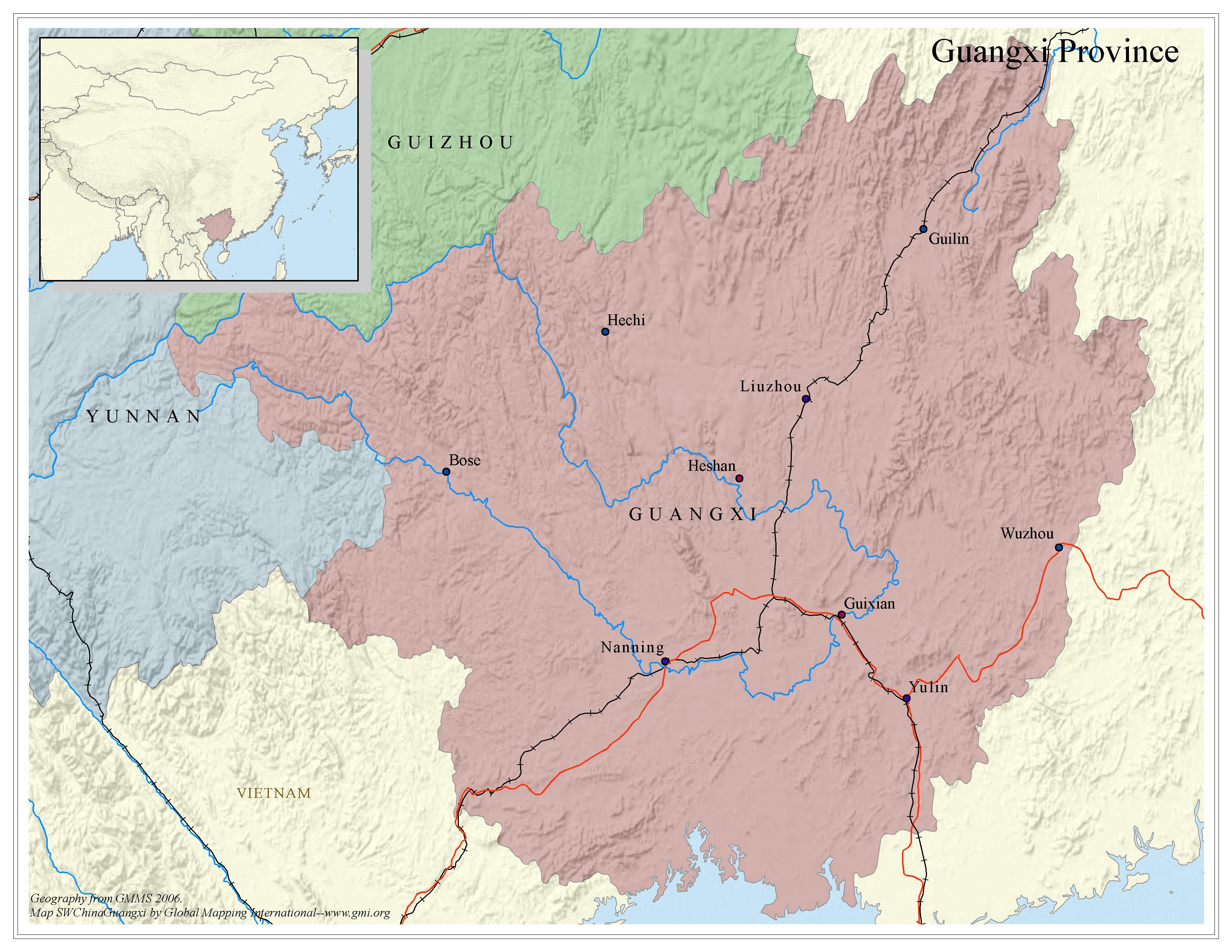 |
·Type: Maps ·Map Date: 2006 ·Data Source: Geography from GMMS 2006. ·Producer: Global Mapping International ·Collection: China SW Minorities (GMMS 2007) ·Size: 8½ x 11 inches, landscape ·Categories: Type :: Maps Continent/Region :: Asia Country :: China Collection :: GMI Map Collections :: China SW Minorities (GMMS 2007) Partners :: Global Mapping International Topic :: Geography :: Maps |
... more info
Max: 1
|
|
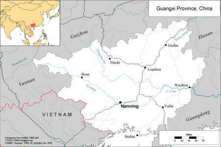 |
·Type: Maps ·Description: Political map of Guangxi Province in China ·Map Date: 2001 ·Producer: Global Mapping International ·Collection: China SW Minorities (WV 2002) ·Size: 8½ x 11 Inches, landscape ·Note: Windows Metafile and Metafile in Word forms of this map require the GMISym.ttf font ·Categories: Type :: Maps Collection :: GMI Map Collections :: China SW Minorities (WV 2002) Continent/Region :: Asia Country :: China Partners... |
... more info
Max: 1
|
|
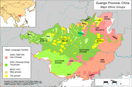 |
·Type: Maps ·Description: Major Ethnic Groups of Guangxi Province in China ·Map Date: 2001 ·Producer: Global Mapping International ·Collection: China SW Minorities (WV 2002) ·Size: 8½ x 11 Inches, landscape ·Note: Windows Metafile and Metafile in Word forms of this map require the GMISym.ttf font ·Categories: Type :: Maps Collection :: GMI Map Collections :: China SW Minorities (WV 2002) Continent/Region :: Asia Topic :: Peoples,... |
... more info
Max: 1
|
|
 |
·Type: Maps ·Map Date: 2006 ·Data Source: Language locations from WLMS 2006. ·Producer: Global Mapping International ·Collection: China SW Minorities (GMMS 2007) ·Size: 8½ x 11 inches, landscape ·Categories: Type :: Maps Continent/Region :: Asia Topic :: Peoples, multiple or unknown Country :: China Collection :: GMI Map Collections :: China SW Minorities (GMMS 2007) Partners :: Global Mapping International |
... more info
Max: 1
|
|
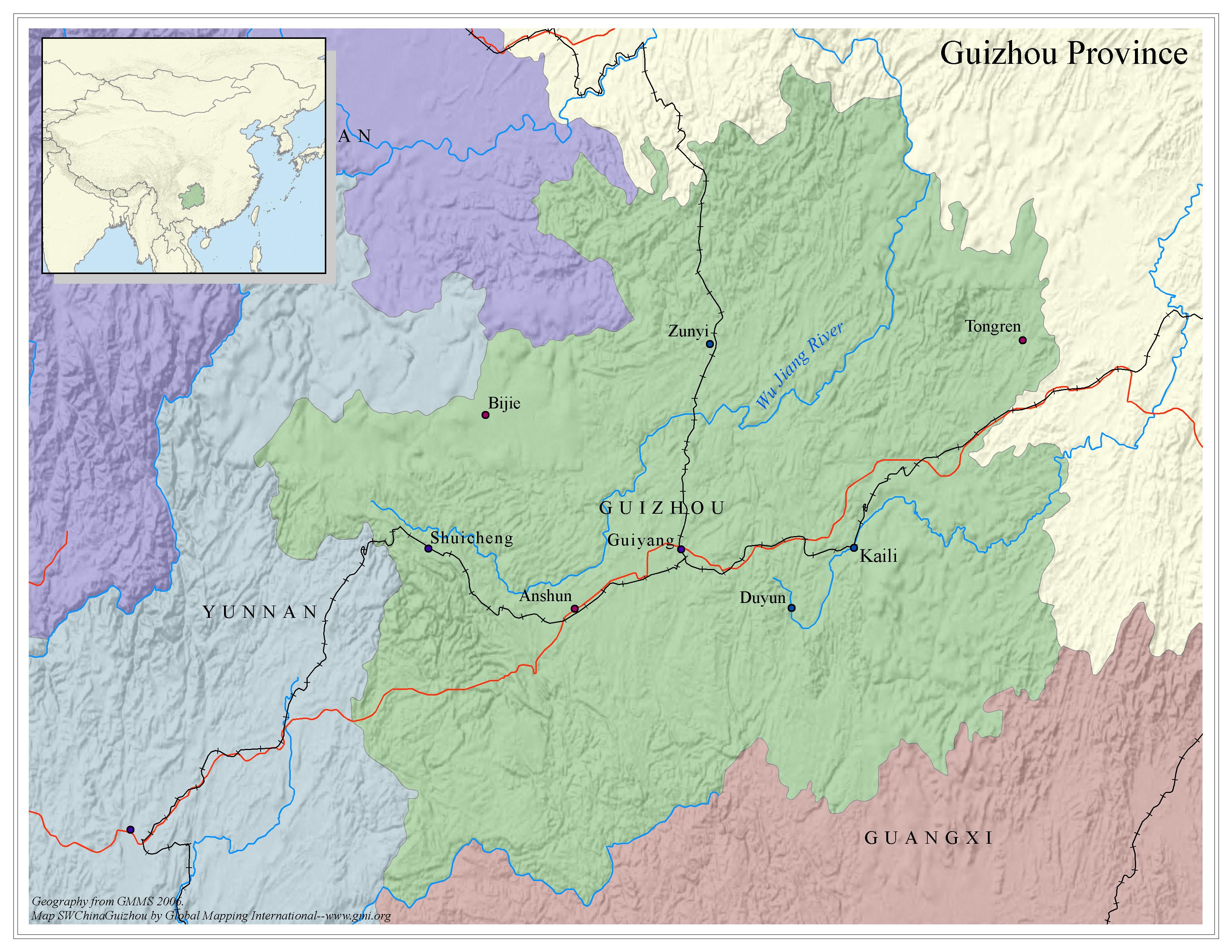 |
·Type: Maps ·Map Date: 2006 ·Data Source: Geography from GMMS 2006. ·Producer: Global Mapping International ·Collection: China SW Minorities (GMMS 2007) ·Size: 8½ x 11 inches, landscape ·Categories: Type :: Maps Continent/Region :: Asia Country :: China Collection :: GMI Map Collections :: China SW Minorities (GMMS 2007) Partners :: Global Mapping International Topic :: Geography :: Maps |
... more info
Max: 1
|
|
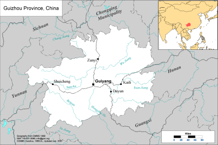 |
·Type: Maps ·Description: Political Map of Guizhou Province in China ·Map Date: 2001 ·Producer: Global Mapping International ·Collection: China SW Minorities (WV 2002) ·Size: 8½ x 11 Inches, landscape ·Note: Windows Metafile and Metafile in Word forms of this map require the GMISym.ttf font ·Categories: Type :: Maps Collection :: GMI Map Collections :: China SW Minorities (WV 2002) Continent/Region :: Asia Country :: China Partners... |
... more info
Max: 1
|
|
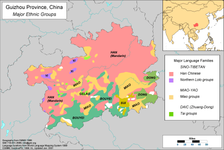 |
·Type: Maps ·Description: Major Ethnic Groups of Guizhou Province in China ·Map Date: 2001 ·Producer: Global Mapping International ·Collection: China SW Minorities (WV 2002) ·Size: 8½ x 11 Inches, landscape ·Note: Windows Metafile and Metafile in Word forms of this map require the GMISym.ttf font ·Categories: Type :: Maps Collection :: GMI Map Collections :: China SW Minorities (WV 2002) Continent/Region :: Asia Topic :: Peoples,... |
... more info
Max: 1
|
|
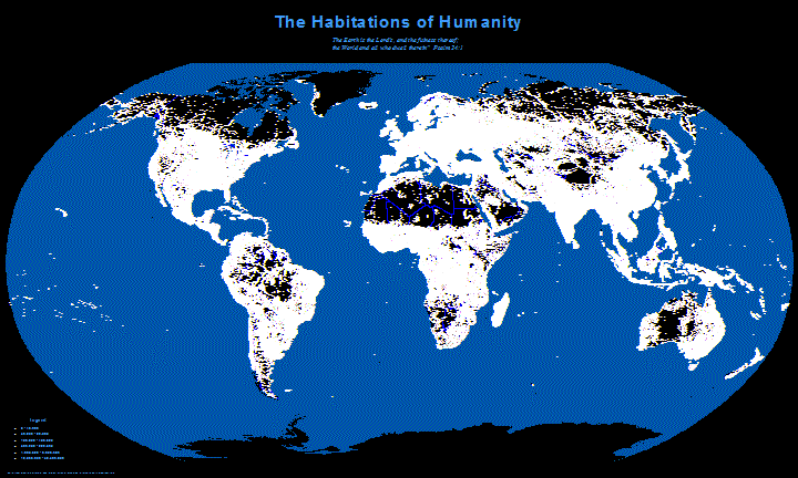 |
·Type: Maps ·Description: This map shows a view of how cities would look like at night over the whole world. The cities are white dots sized by population. ·Map Date: 23 January 2008 ·Data Source: City data from Habitats Project and Digital Chart of the World ·Producer: Global Mapping International ·Collection: Projects 2008 ·Size: Size: 36 by 60 inches, landscape ·Note: Note that map was designed as a large map, so it may not look as... |
... more info
Max: 1
|
|
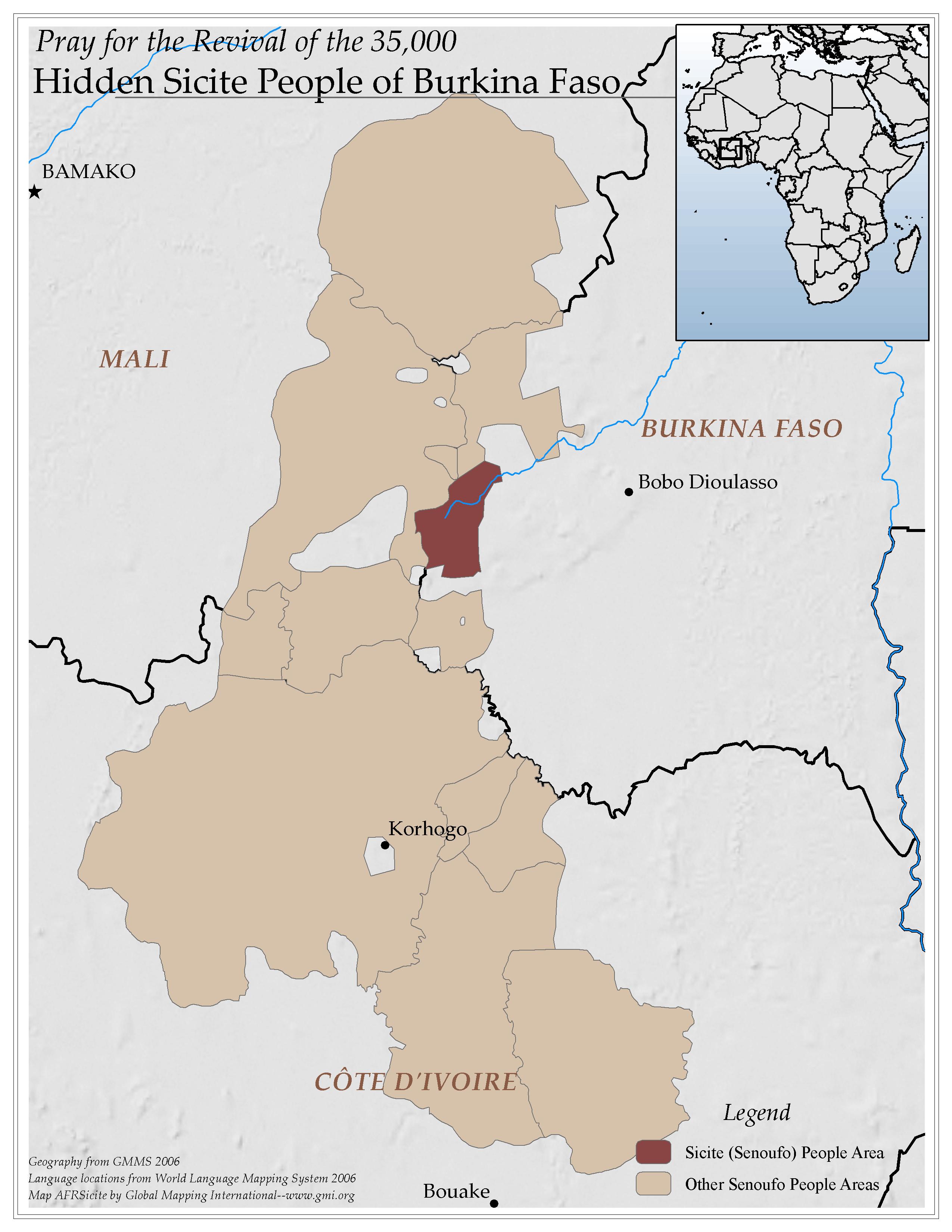 |
·Type: Maps ·Map Date: 2006 ·Data Source: Geography from GMMS 2006 Language locations from World Language Mapping System 2006 ·Producer: Global Mapping International ·Collection: Reaching Africa (GMMS 2007) ·Size: 8½ x 11 inches, portrait ·Categories: Type :: Maps Continent/Region :: Africa Country :: Burkina Faso Collection :: GMI Map Collections :: Reaching Africa (GMMS 2007) Partners :: Global Mapping International Topic :: Peoples,... |
... more info
Max: 1
|
|
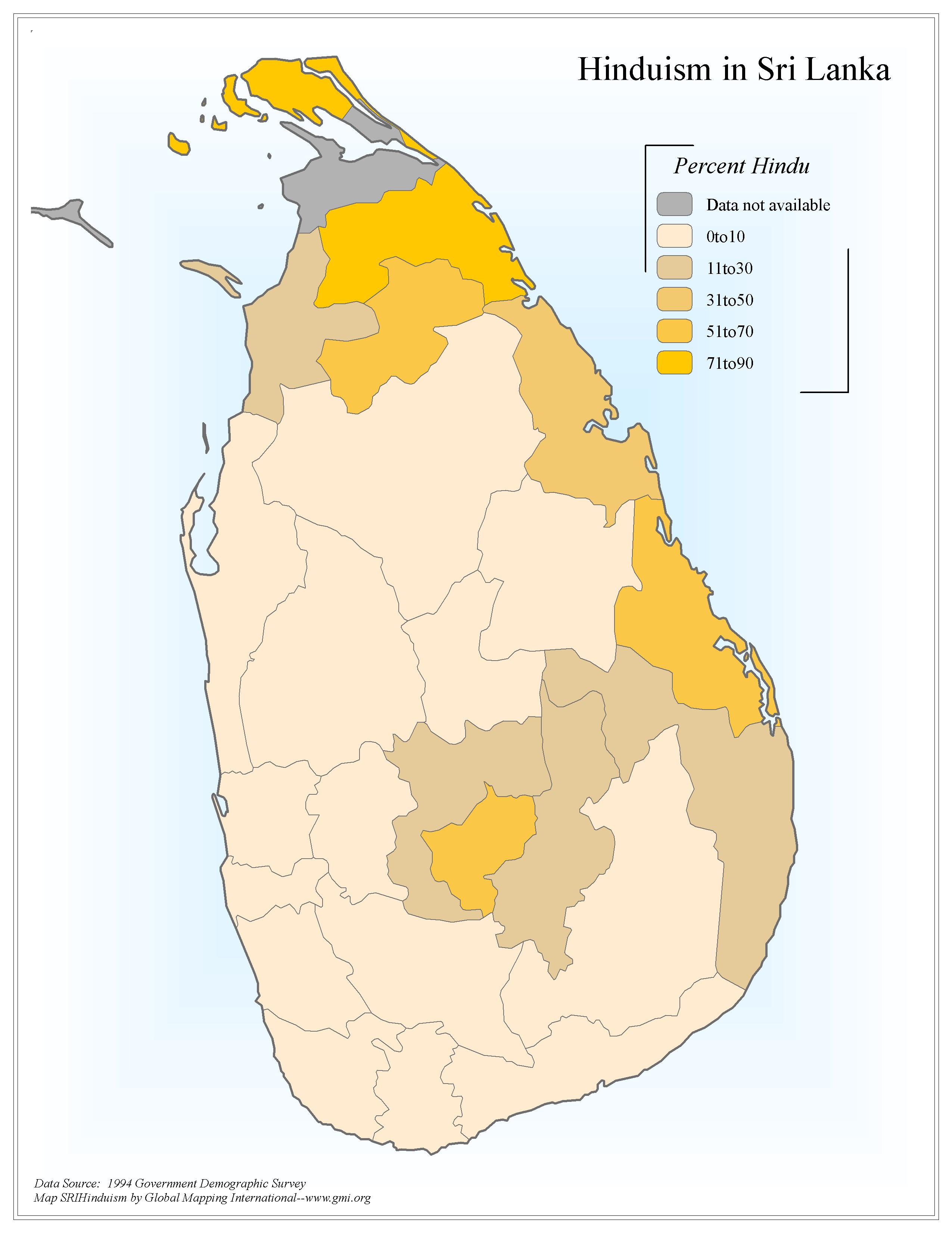 |
·Type: Maps ·Map Date: 2006 ·Data Source: 1994 Government Demographic Survey ·Producer: Global Mapping International ·Collection: Sri Lanka (GMMS 2007) ·Size: 8½ x 11 inches, portrait ·Categories: Type :: Maps Country :: Sri Lanka Continent/Region :: Asia Topic :: Statistical Collection :: GMI Map Collections :: Sri Lanka (GMMS 2007) Partners :: Global Mapping International Topic :: Religions, General :: Hinduism |
... more info
Max: 1
|
|
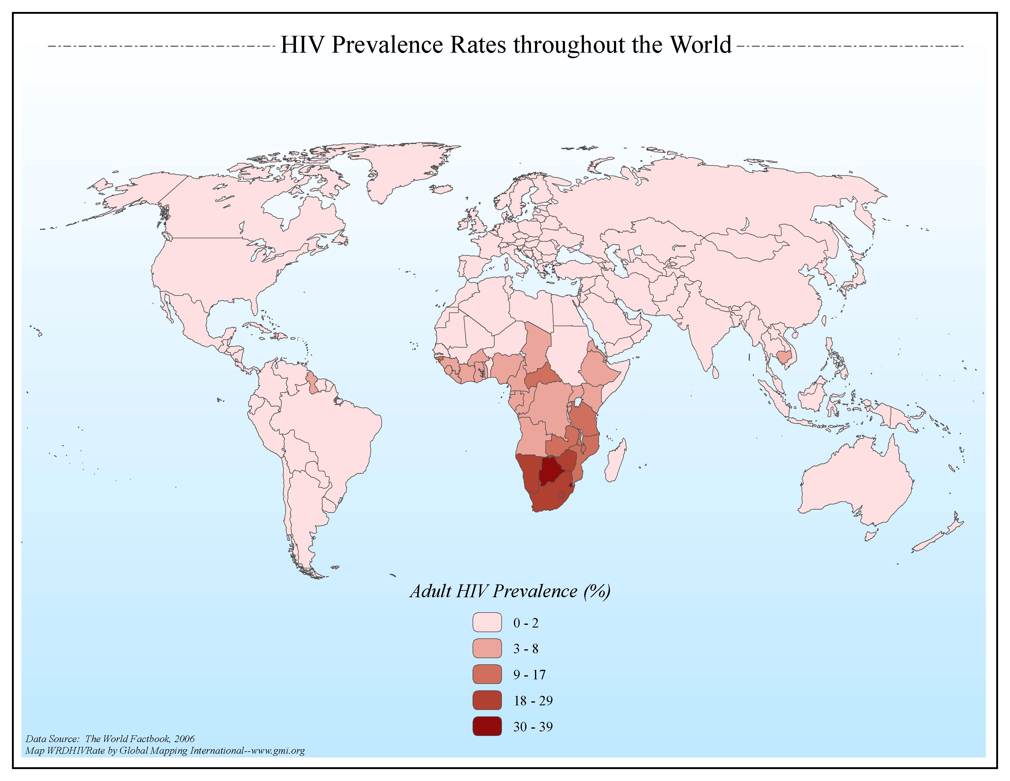 |
·Type: Maps ·Map Date: 2006 ·Data Source: The World Factbook, 2006 ·Producer: Global Mapping International ·Collection: Factbook (GMMS 2007) ·Size: 8½ x 11 inches, landscape ·Categories: Type :: Maps Continent/Region :: World Topic :: Statistical Collection :: GMI Map Collections :: Factbook (GMMS 2007) Collection :: GMI Map Collections :: General World Maps (GMMS 2007) Partners :: Global Mapping International Topic :: Health |
... more info
Max: 1
|
|
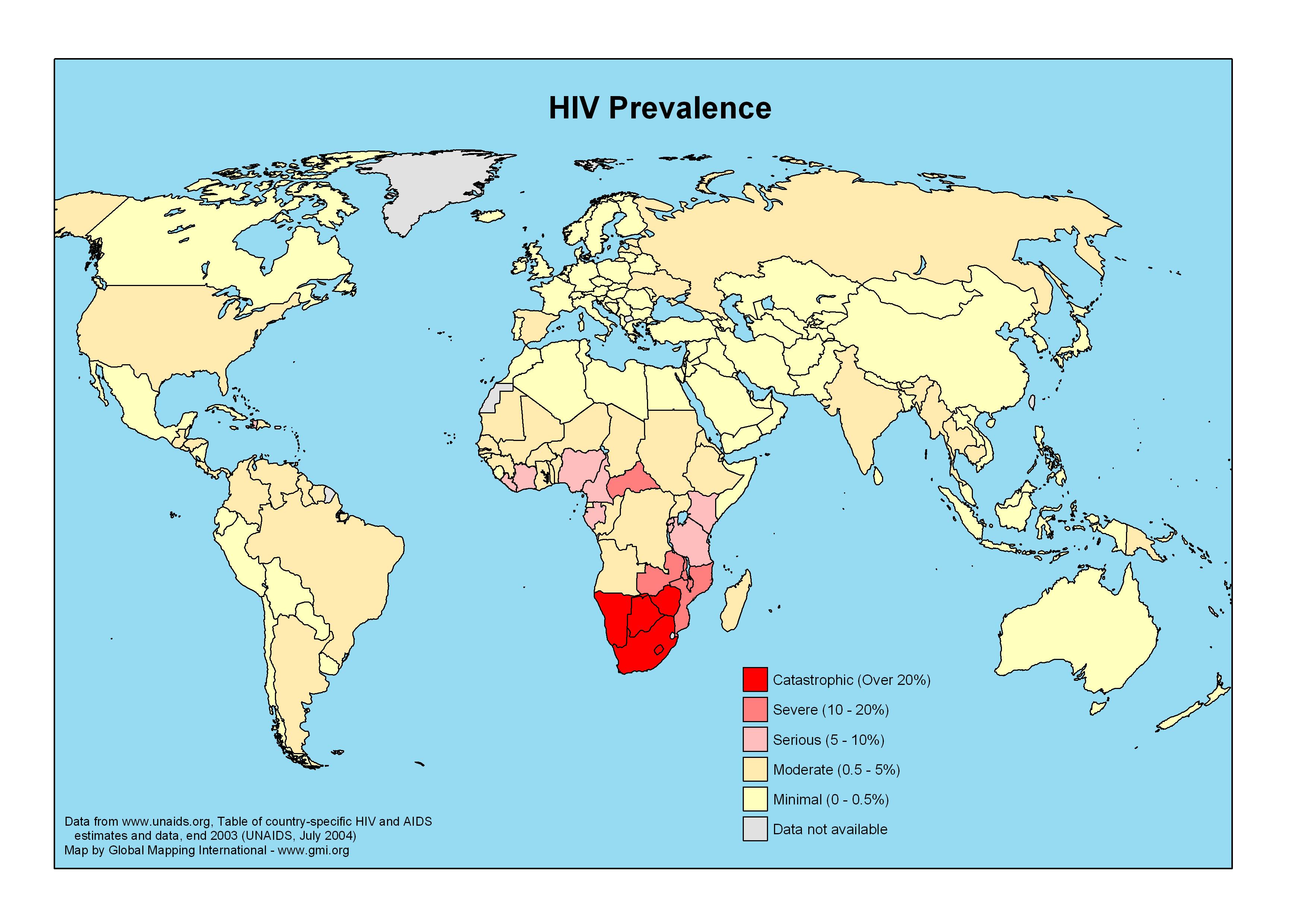 |
·Type: Maps ·Map Date: 2006 ·Data Source: www.unaids.org ·Producer: GMI ·Collection: Projects 2006 ·Size: 3509 by 2481 pixels, landscape ·Categories: Type :: Maps Continent/Region :: World Topic :: Statistical Partners :: Global Mapping International Collection :: GMI Map Collections :: Projects 2006 Topic :: Health |
... more info
Max: 1
|
|