| Product Image |
Resource Name- |
Price |
Manufacturer |
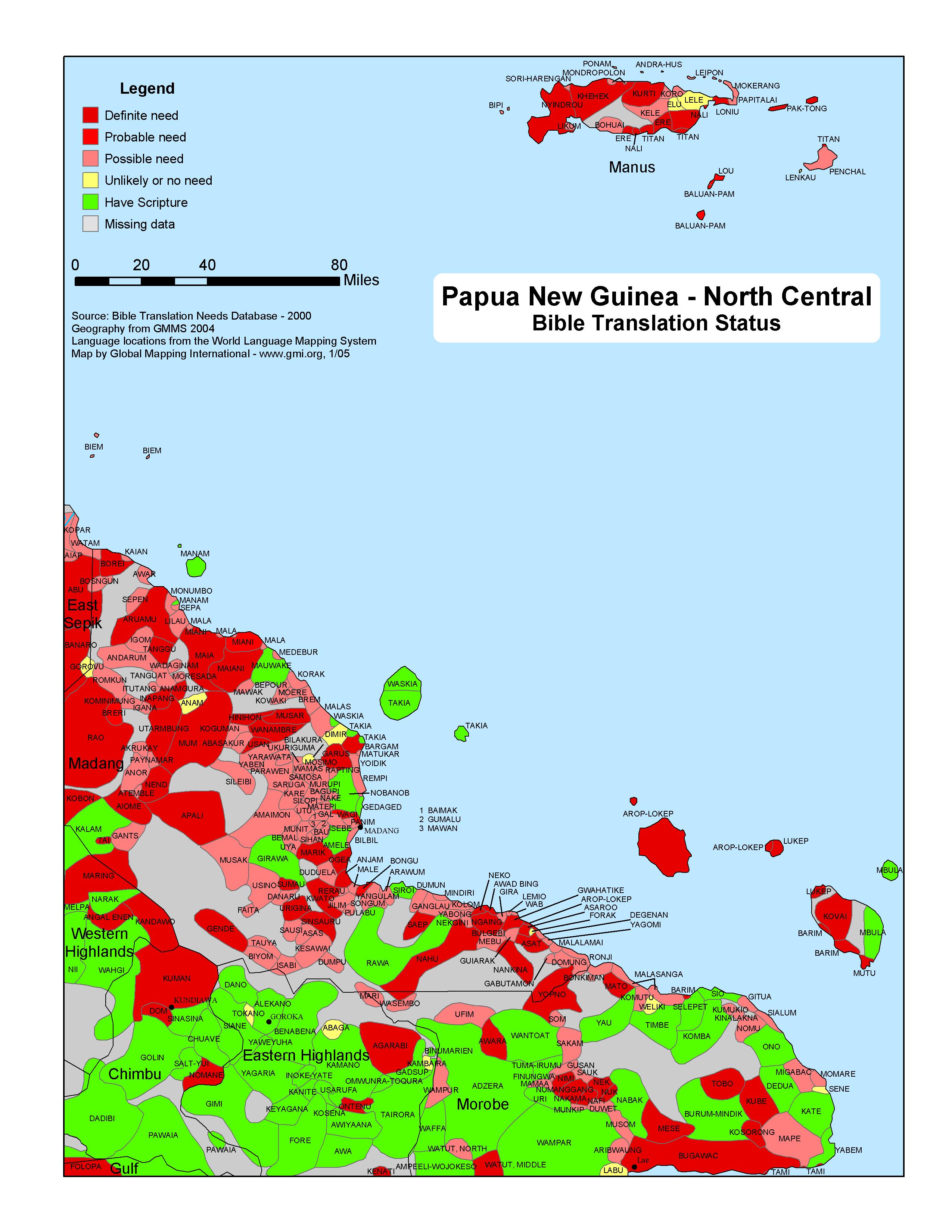 |
·Type: Maps ·Map Date: 2005 ·Data Source: Bible Translation Needs Database; World Language Mapping System ·Producer: GMI ·Collection: Projects 2005 ·Size: 8½ by 11 inches, portrait ·Categories: Type :: Maps Country :: Papua New Guinea Partners :: Global Mapping International Collection :: GMI Map Collections :: Projects 2005 Topic :: Language and Translation |
... more info
Max: 1
|
|
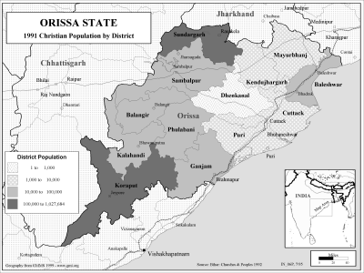 |
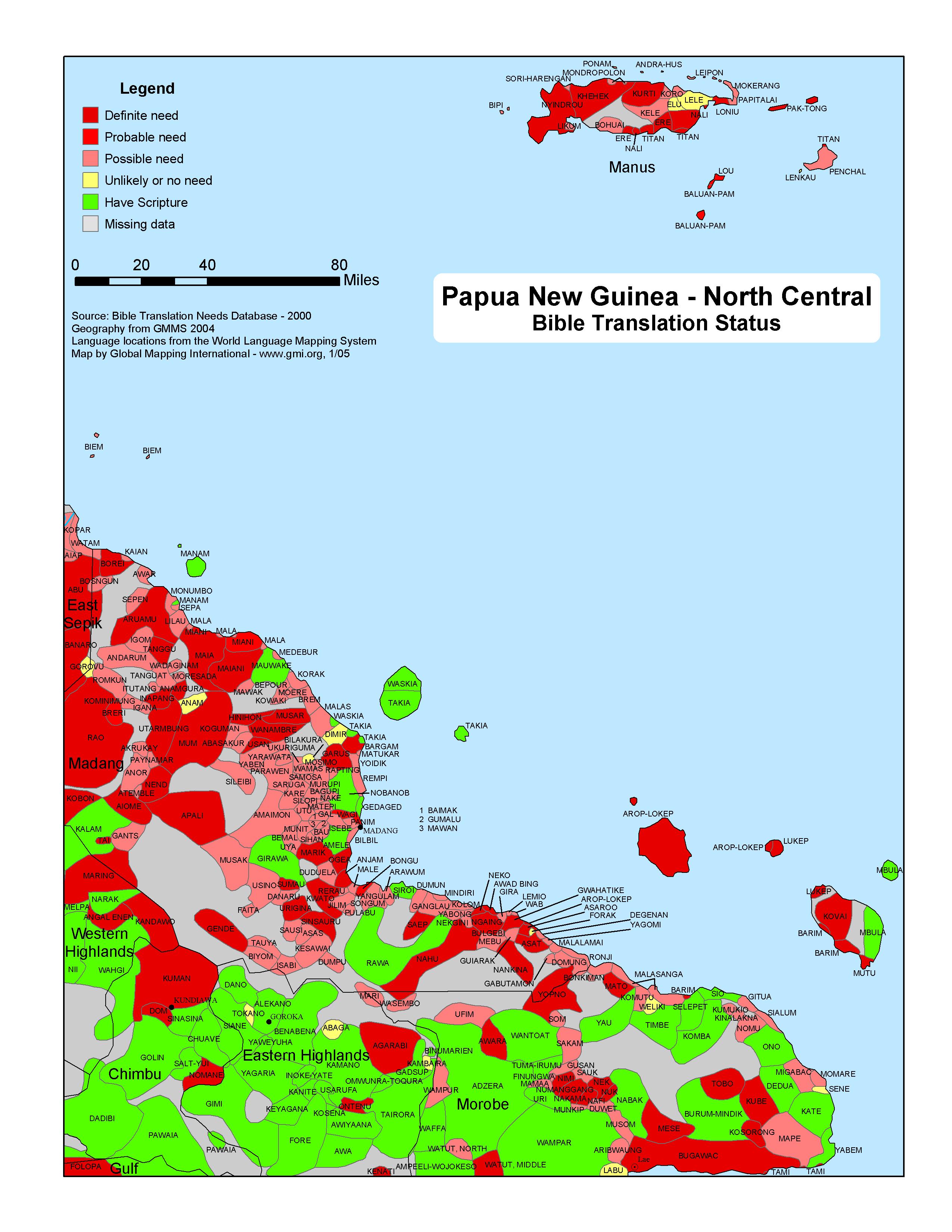
·Type: Maps ·Description: Christian Population of Orissa state in 1991 ·Map Date: 2002 ·Producer: Global Mapping International ·Collection: Reaching India (WorldVue 2002) ·Size: 8½ x 11 Inches, landscape ·Note: Windows Metafile and Metafile in Word forms of this map require the GMISym.ttf font ·Categories: Type :: Maps Collection :: GMI Map Collections :: Reaching India (WorldVue 2002) Continent/Region :: Asia Topic :: Statistical... |
... more info
Max: 1
|
|
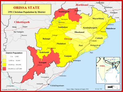 |
·Type: Maps ·Description: Christian Population of Orissa state in 1991 ·Map Date: 1999 ·Producer: Global Mapping International ·Collection: Reaching India (WorldVue 2002) ·Size: 8½ x 11 Inches, landscape ·Note: Windows Metafile and Metafile in Word forms of this map require the GMISym.ttf font ·Categories: Type :: Maps Collection :: GMI Map Collections :: Reaching India (WorldVue 2002) Continent/Region :: Asia Topic :: Statistical... |
... more info
Max: 1
|
|
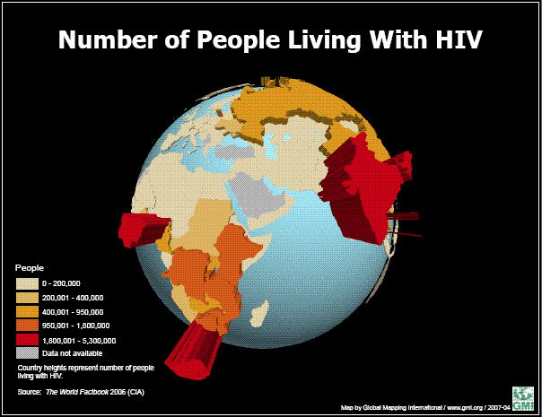 |
·Type: Maps ·Map Date: June 2007 ·Data Source: World Factbook 2006 ·Producer: Global Mapping International ·Collection: Projects 2007 ·Size: 8 1/2 x 11, landscape ·Categories: Type :: Maps Topic :: Statistical Partners :: Global Mapping International Collection :: GMI Map Collections :: Projects 2007 Topic :: Health |
... more info
Max: 1
|
|
 |
·Type: Maps ·Map Date: 29 March 2007 ·Data Source: World Factbook 2006 ·Producer: Global Mapping International ·Collection: Projects 2007 ·Size: 8½ by 11 inches, landscape ·Categories: Type :: Maps Continent/Region :: Europe Topic :: Statistical Partners :: Global Mapping International Collection :: GMI Map Collections :: Projects 2007 |
... more info
Max: 1
|
|
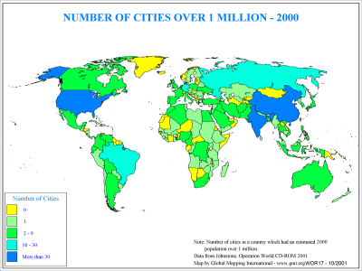 |
·Type: Maps ·Description: Country level distribution of number of cities over 1 million in 2 ·Map Date: 2000 ·Producer: Global Mapping International ·Collection: General World Maps (WV 2002) ·Size: 8½ x 11 Inches, landscape ·Categories: Type :: Maps Collection :: GMI Map Collections :: General World Maps (WV 2002) Continent/Region :: World Topic :: Demography Partners :: Global Mapping International |
... more info
Max: 1
|
|
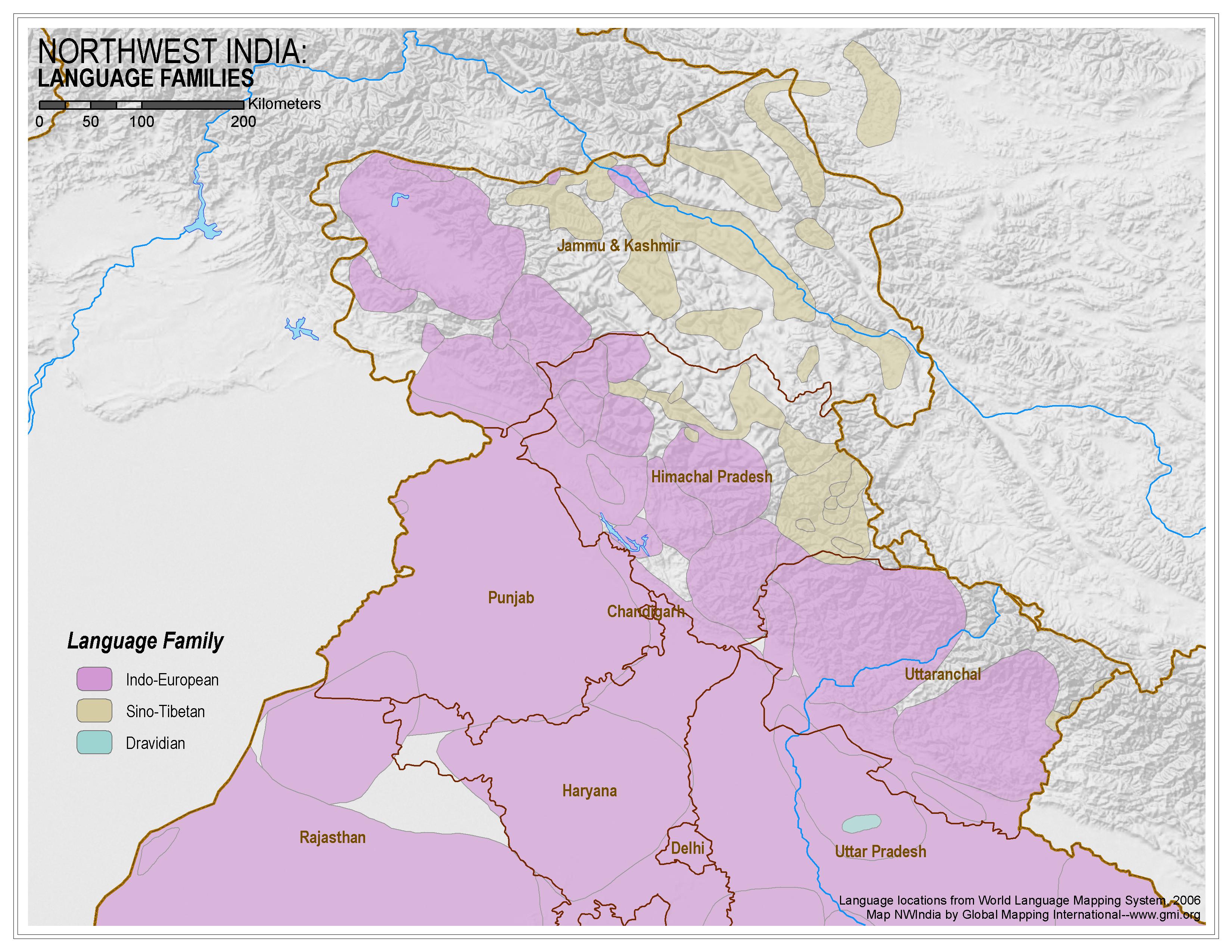 |
·Type: Maps ·Map Date: 2006 ·Data Source: World Language Mapping System, 2006 ·Producer: Global Mapping International ·Collection: Himalayan Budd Ppl (GMMS 2007) ·Size: 8½ x 11 inches, landscape ·Categories: Type :: Maps Continent/Region :: Asia Topic :: Peoples, multiple or unknown Country :: India Collection :: GMI Map Collections :: Himalayan Budd Ppl (GMMS 2007) Partners :: Global Mapping International |
... more info
Max: 1
|
|
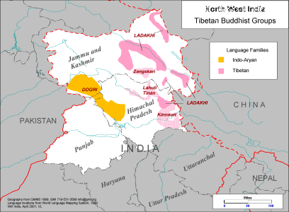 |
·Type: Maps ·Description: Tibetan Buddhist Groups in North West India ·Map Date: 1999 ·Producer: Global Mapping International ·Collection: Himalayan Buddhist Ppl (WV 2002) ·Size: 8½ x 11 Inches, landscape ·Note: Windows Metafile and Metafile in Word forms of this map require the GMISym.ttf font ·Categories: Type :: Maps Collection :: GMI Map Collections :: Himalayan Buddhist Ppl (WV 2002) Continent/Region :: Asia Topic :: Peoples,... |
... more info
Max: 1
|
|
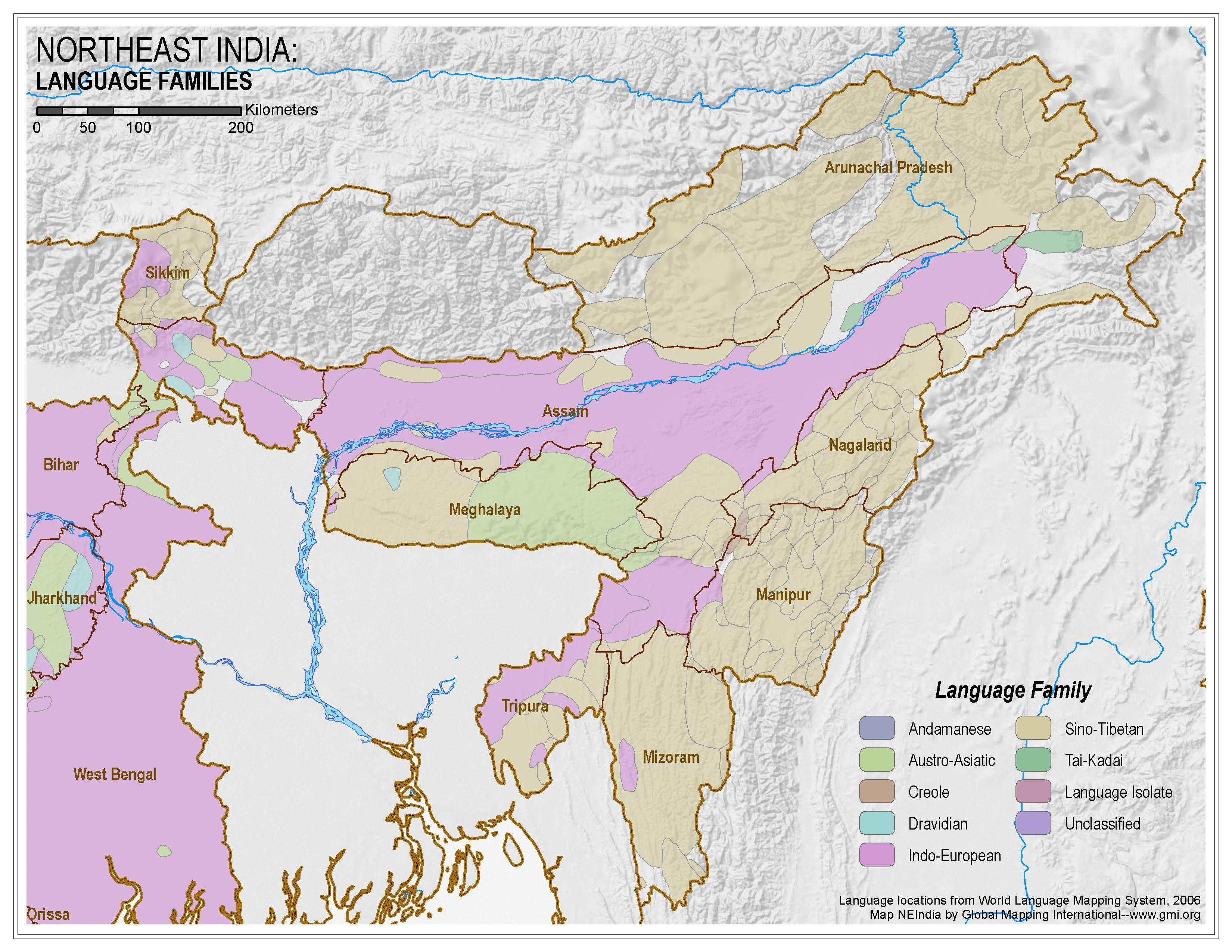 |
·Type: Maps ·Map Date: 2006 ·Data Source: World Language Mapping System, 2006 ·Producer: Global Mapping International ·Collection: Himalayan Budd Ppl (GMMS 2007) ·Size: 8½ x 11 inches, landscape ·Categories: Type :: Maps Continent/Region :: Asia Topic :: Peoples, multiple or unknown Country :: India Collection :: GMI Map Collections :: Himalayan Budd Ppl (GMMS 2007) Partners :: Global Mapping International |
... more info
Max: 1
|
|
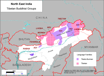 |
·Type: Maps ·Description: Major Tibetan Buddhist Groups in North East India ·Map Date: 2001 ·Producer: Global Mapping International ·Collection: Himalayan Buddhist Ppl (WV 2002) ·Size: 8½ x 11 Inches, landscape ·Note: Windows Metafile and Metafile in Word forms of this map require the GMISym.ttf font ·Categories: Type :: Maps Collection :: GMI Map Collections :: Himalayan Buddhist Ppl (WV 2002) Continent/Region :: Asia Topic ::... |
... more info
Max: 1
|
|
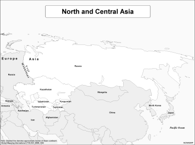 |
·Type: Maps ·Description: Political Map of North and Central Asia ·Map Date: 2002 ·Producer: Global Mapping International ·Collection: Regions (WorldVue 2002) ·Size: 8½ x 11 Inches, landscape ·Categories: Type :: Maps Continent/Region :: Asia Partners :: Global Mapping International Collection :: GMI Map Collections :: Regions (WorldVue 2002) Topic :: Geography :: Maps |
... more info
Max: 1
|
|
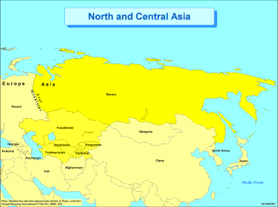 |
·Type: Maps ·Description: Political Map of North and Central Asia ·Map Date: 2002 ·Producer: Global Mapping International ·Collection: Regions (WorldVue 2002) ·Size: 8½ x 11 Inches, landscape ·Categories: Type :: Maps Continent/Region :: Asia Partners :: Global Mapping International Collection :: GMI Map Collections :: Regions (WorldVue 2002) Topic :: Geography :: Maps |
... more info
Max: 1
|
|
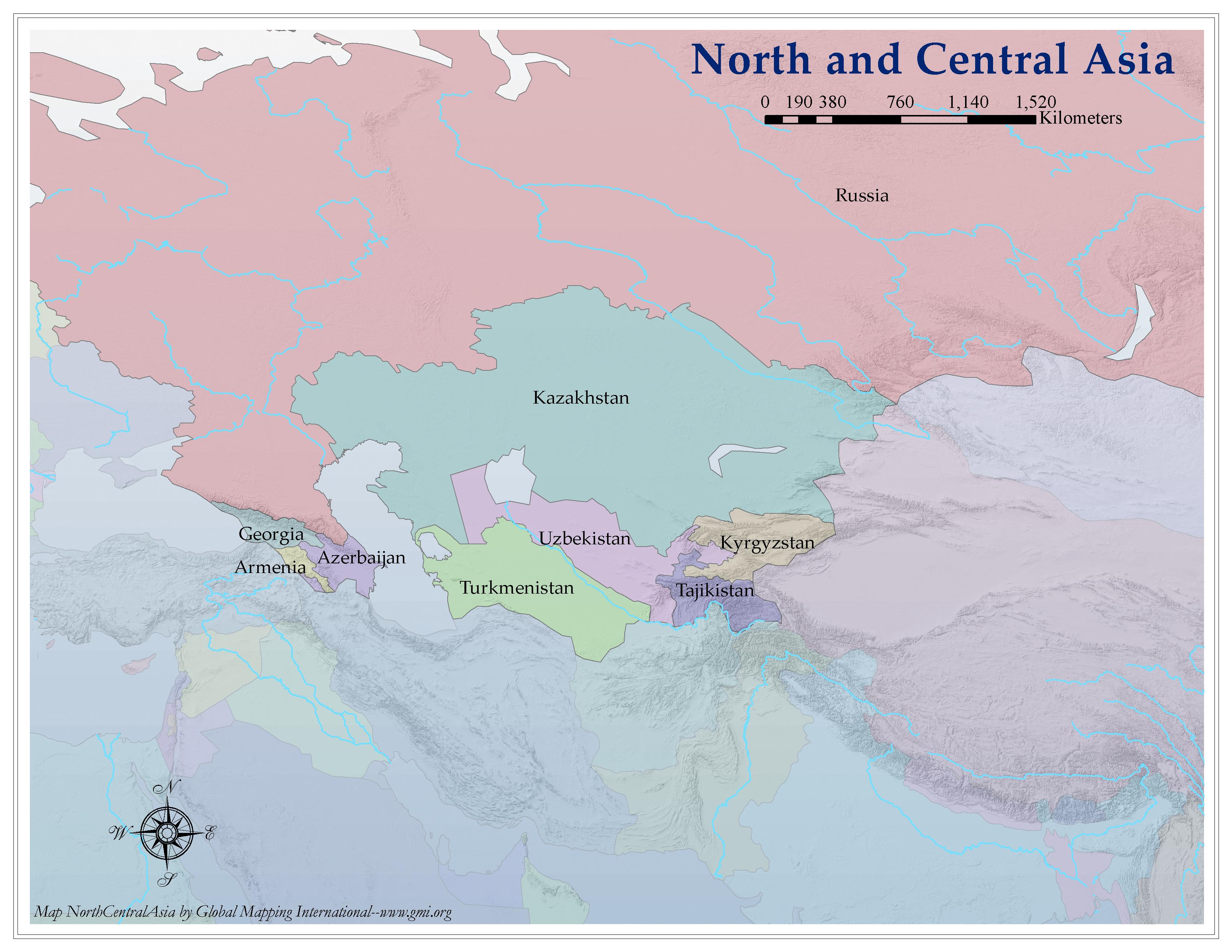 |
·Type: Maps ·Map Date: 2006 ·Producer: Global Mapping International ·Collection: Regions (GMMS 2007) ·Size: 8½ x 11 inches, landscape ·Categories: Type :: Maps Continent/Region :: Asia Partners :: Global Mapping International Collection :: GMI Map Collections :: Regions (GMMS 2007) Topic :: Geography :: Maps |
... more info
Max: 1
|
|
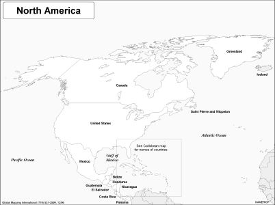 |
·Type: Maps ·Description: Political Map of Northe America ·Map Date: 2002 ·Producer: Global Mapping International ·Collection: Regions (WorldVue 2002) ·Size: 8½ x 11 Inches, landscape ·Categories: Type :: Maps Continent/Region :: North America Partners :: Global Mapping International Collection :: GMI Map Collections :: Regions (WorldVue 2002) Topic :: Geography :: Maps |
... more info
Max: 1
|
|
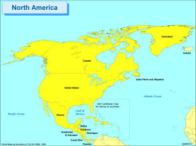 |
·Type: Maps ·Description: Political Map of Northe America ·Map Date: 2002 ·Producer: Global Mapping International ·Collection: Regions (WorldVue 2002) ·Size: 8½ x 11 Inches, landscape ·Categories: Type :: Maps Continent/Region :: North America Partners :: Global Mapping International Collection :: GMI Map Collections :: Regions (WorldVue 2002) Topic :: Geography :: Maps |
... more info
Max: 1
|
|
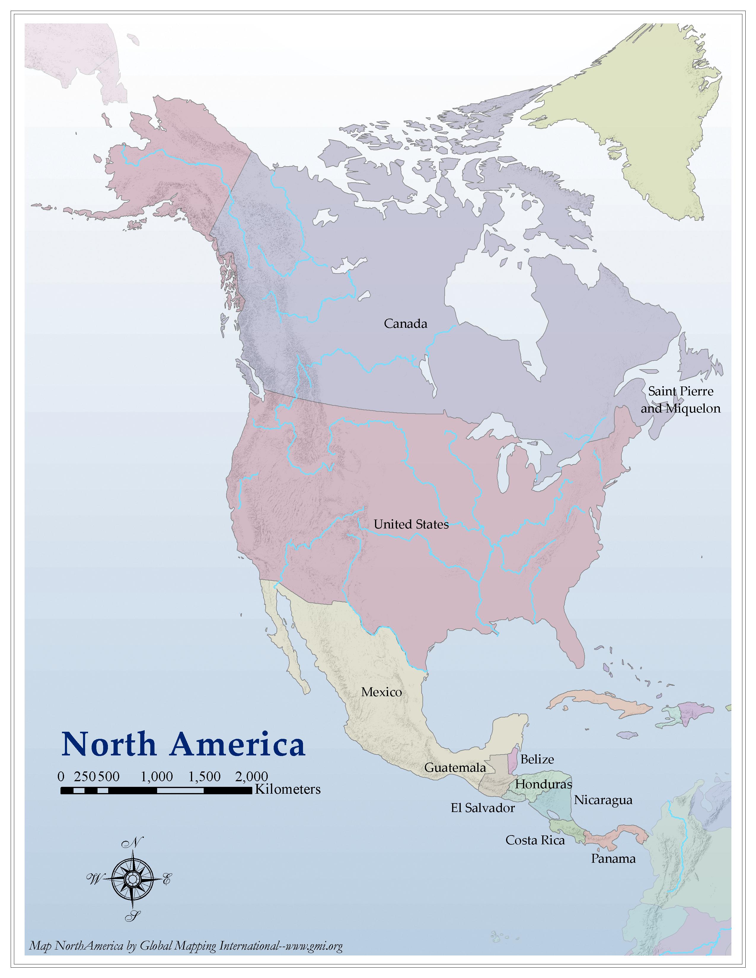 |
·Type: Maps ·Map Date: 2006 ·Producer: Global Mapping International ·Collection: Regions (GMMS 2007) ·Size: 8½ x 11 inches, portrait ·Categories: Type :: Maps Continent/Region :: North America Partners :: Global Mapping International Collection :: GMI Map Collections :: Regions (GMMS 2007) Topic :: Geography :: Maps |
... more info
Max: 1
|
|
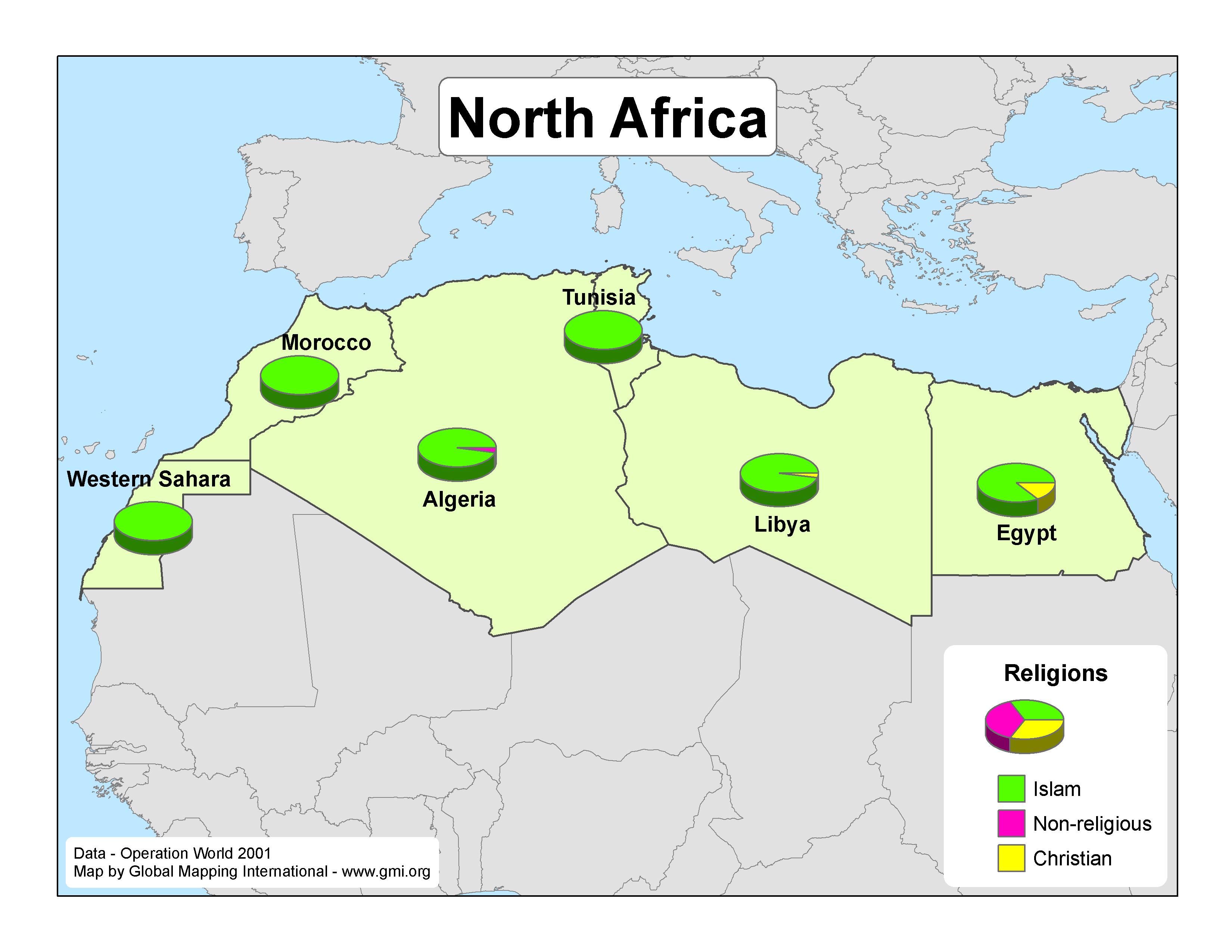 |
·Type: Maps ·Map Date: 2007 ·Data Source: Operation World 2001 ·Producer: GMI ·Collection: Projects 2007 ·Size: 8½ by 11 inches, landscape ·Categories: Type :: Maps Continent/Region :: Africa Partners :: Global Mapping International Collection :: GMI Map Collections :: Projects 2007 Topic :: Religions, General :: Multiple/Other |
... more info
Max: 1
|
|
 |
·Type: Maps ·Description: Nomadic Pastoralists ·Map Date: 2002 ·Producer: Global Mapping International ·Collection: Worldwide Perspectives (WV 2002) ·Size: 8½ x 11 Inches, landscape ·Categories: Type :: Maps Collection :: GMI Map Collections :: Worldwide Perspectives (WV 2002) Topic :: Demography Topic :: Peoples, multiple or unknown Partners :: Global Mapping International |
... more info
Max: 1
|
|
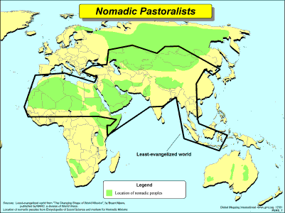 |
·Type: Maps ·Description: Nomadic Pastoralists ·Map Date: 2002 ·Producer: Global Mapping International ·Collection: Worldwide Perspectives (WV 2002) ·Size: 8½ x 11 Inches, landscape ·Categories: Type :: Maps Collection :: GMI Map Collections :: Worldwide Perspectives (WV 2002) Topic :: Demography Topic :: Peoples, multiple or unknown Partners :: Global Mapping International |
... more info
Max: 1
|
|
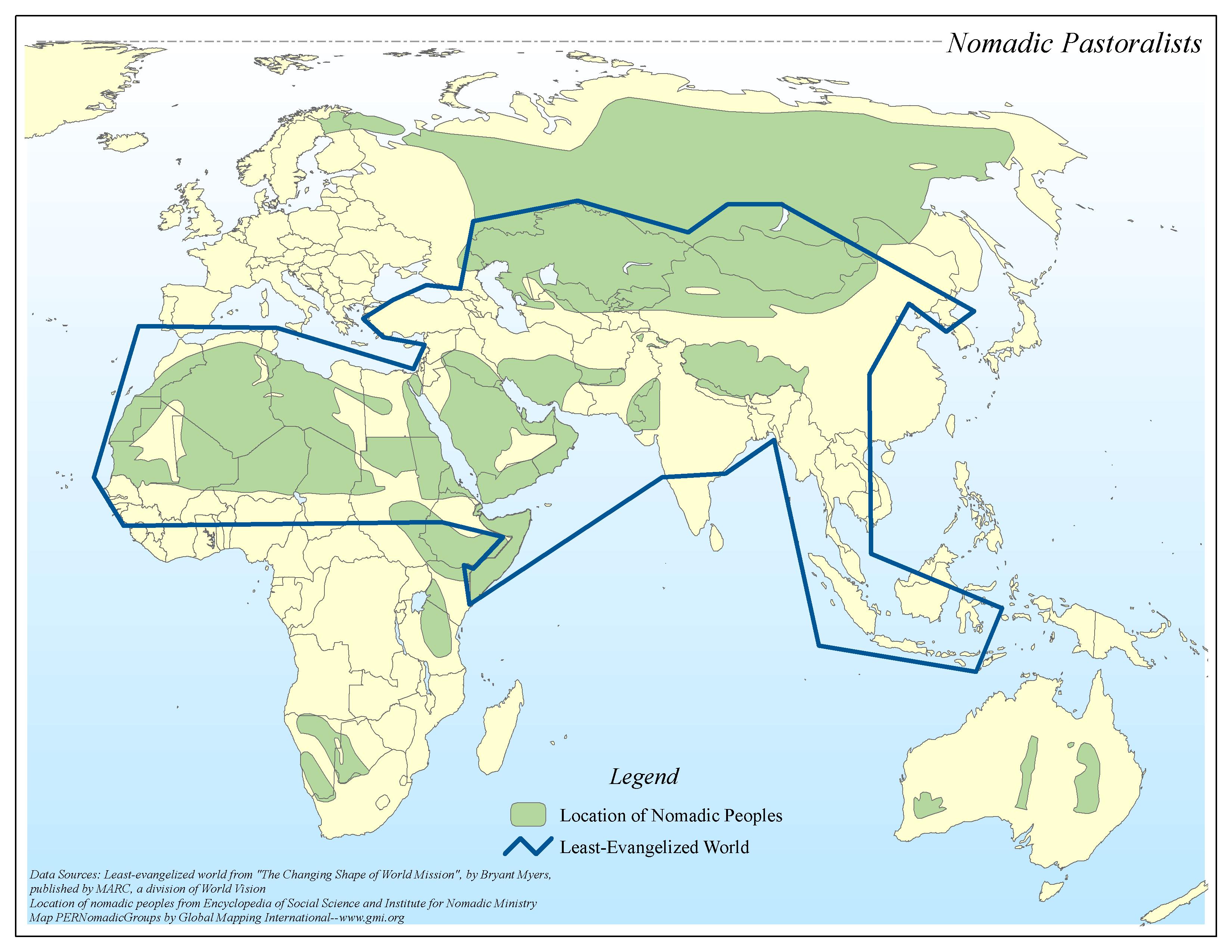 |
·Type: Maps ·Map Date: 2006 ·Data Source: Least-evangelized world from "The Changing Shape of World Mission", by Bryant Myers, published by MARC, a division of World Vision Location of nomadic peoples from Encyclopedia of Social Science and Ins ·Producer: Global Mapping International ·Collection: Worldwide Perspectives GMMS 2007 ·Size: 8½ x 11 inches, landscape ·Categories: Type :: Maps Topic :: Demography Topic :: Peoples, multiple or... |
... more info
Max: 1
|
|
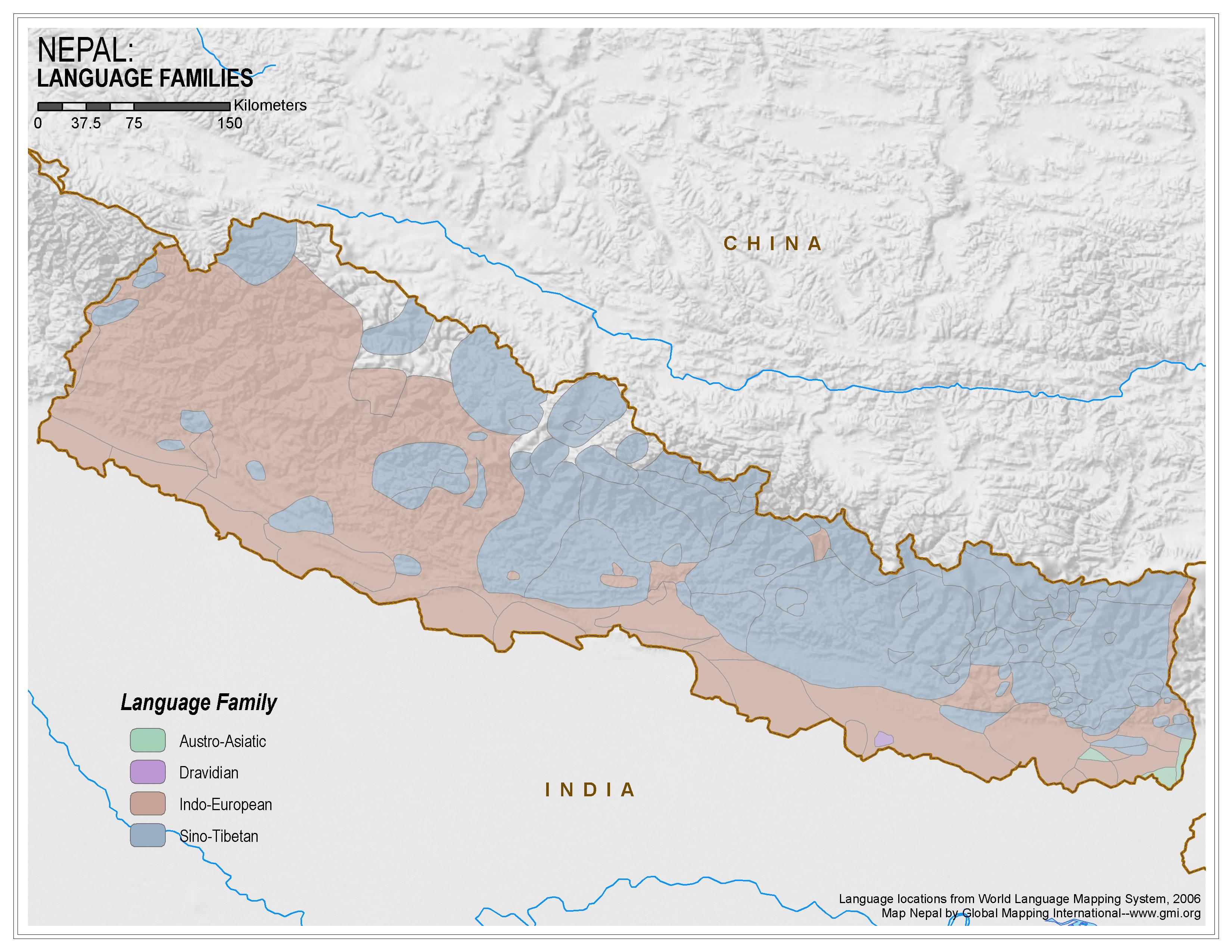 |
·Type: Maps ·Map Date: 2006 ·Data Source: World Language Mapping System, 2006 ·Producer: Global Mapping International ·Collection: Himalayan Budd Ppl (GMMS 2007) ·Size: 8½ x 11 inches, landscape ·Categories: Type :: Maps Continent/Region :: Asia Topic :: Peoples, multiple or unknown Country :: Nepal Collection :: GMI Map Collections :: Himalayan Budd Ppl (GMMS 2007) Partners :: Global Mapping International |
... more info
Max: 1
|
|
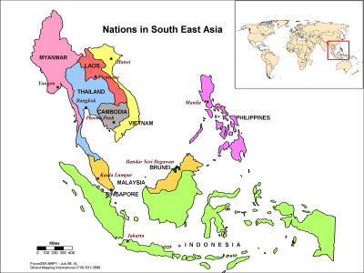 |
·Type: Maps ·Description: Political map of the Nations in Southeast Asia ·Map Date: 1998 ·Producer: Global Mapping International ·Collection: Focus South East Asia (WV 2002) ·Size: 8½ x 11 Inches, landscape ·Note: Windows Metafile and Metafile in Word forms of this map require the GMISym.ttf font ·Categories: Type :: Maps Collection :: GMI Map Collections :: Focus South East Asia (WV 2002) Continent/Region :: Asia Partners ::... |
... more info
Max: 1
|
|
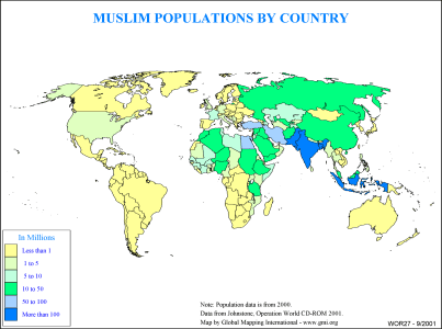 |
·Type: Maps ·Description: Muslim Populations by Country ·Map Date: 2000 ·Producer: Global Mapping International ·Collection: General World Maps (WV 2002) ·Size: 8½ x 11 Inches, landscape ·Categories: Type :: Maps Collection :: GMI Map Collections :: General World Maps (WV 2002) Continent/Region :: World Topic :: Statistical Partners :: Global Mapping International Topic :: Religions, General :: Islam |
... more info
Max: 1
|
|
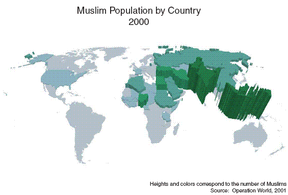 |
·Type: Maps ·Map Date: 27 February 2007 ·Data Source: Operation World 2001 ·Producer: Global Mapping International ·Collection: Projects 2007 ·Size: 8½ by 11 inches, landscape ·Categories: Type :: Maps Continent/Region :: World Topic :: Statistical Topic :: Strategy Partners :: Global Mapping International Collection :: GMI Map Collections :: Projects 2007 Topic :: Religions, General :: Islam |
... more info
Max: 1
|
|