Demography
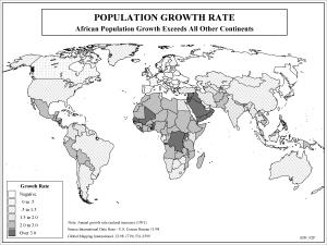
Population Growth Rate (BW)
·Type: Maps ·Description: Growth rate of countries in Africa ·Map Date: 2002 ·Producer: Global Mapping International ·Collection: Reaching Africa (WorldVue 2002) ·Size: 8½ x 11 Inches, landscape...
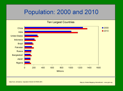
Population: 2000 and 2010 - Ten Largest Countries
·Type: Maps ·Description: Ten Largest contries in 2000 and 2010 ·Map Date: 2001 ·Producer: Global Mapping International ·Collection: Intro to Mission (WorldVue 2002) ·Size: 8½ x 11 Inches, landscape...
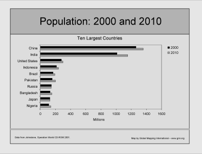
Population: 2000 and 2010 - Ten Largest Countries (BW)
·Type: Maps ·Description: Ten Largest contries in 2000 and 2010 ·Map Date: 2002 ·Producer: Global Mapping International ·Collection: Intro to Mission (WorldVue 2002) ·Size: 8½ x 11 Inches, landscape...
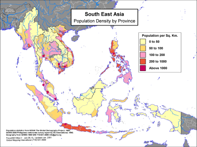
South East Asia - Population Density by Province
·Type: Maps ·Description: Province level population density in Southeast Asia ·Map Date: 1998 ·Producer: Global Mapping International ·Collection: Focus South East Asia (WV 2002) ·Size: 8½ x 11...
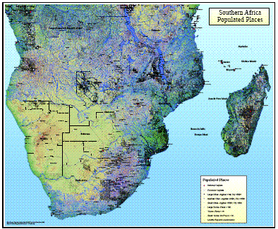
Southern Africa Populated Places
·Type: Maps ·Map Date: 2008 ·Data Source: Populated places from GMMS Populated Place Data 2008 ·Producer: Global Mapping International ·Collection: Wall Maps ·Size: 36 by 30 inches, landscape...

State of the Gospel Presentation (YLG 2006)
·Type: Maps ·Description: Jason Mandryk's State of the Gospel presentation from the 2006 Younger Leader's Gathering (YLG) in Malysia. Video, Audio, and PowerPoint versions of the presentation are available. ·Date: 2006...
Target Earth
·Type: Maps ·Description: The necessity of diversity in a holistic perspective on world mission ·Date: 1989 ·General Editor: Frank Kaleb Jansen ·Producer: Global Mapping International ·Collection: Target...
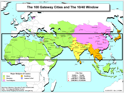
The 100 Gateway Cities and The 10/40 Window
·Type: Maps ·Description: 100 Gateway Cities to the 10/40 Window ·Map Date: 2001 ·Producer: Global Mapping International ·Collection: The 10/40 Window (WorldVue 2002) ·Size: 8½ x 11 Inches, landscape...
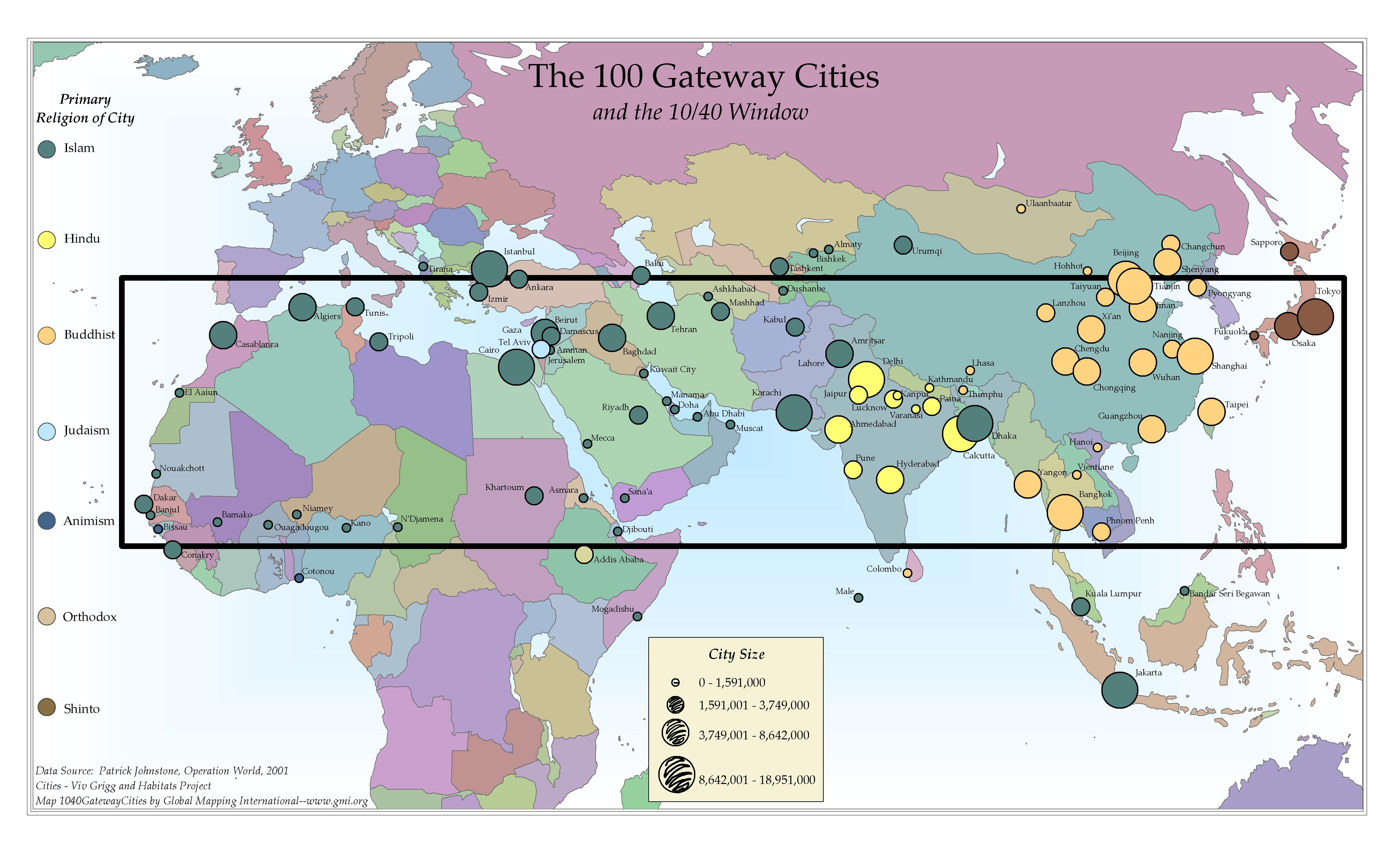
The 100 Gateway Cities and the 10/40 Window
·Type: Maps ·Map Date: 2006 ·Data Source: Patrick Johnstone, Operation World, 2001 ·Producer: Global Mapping International ·Collection: The 10/40 Window (GMMS 2007) ·Size: 8½ x 14 inches, landscape...
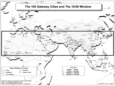
The 100 Gateway Cities and The 10/40 Window (BW)
·Type: Maps ·Description: 100 Gateway Cities to the 10/40 Window ·Map Date: 2002 ·Producer: Global Mapping International ·Collection: The 10/40 Window (WorldVue 2002) ·Size: 8½ x 11 Inches, landscape...
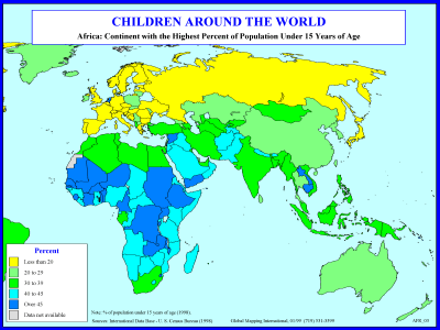
The Children of Africa
·Type: Maps ·Description: Percent Children in Africa ·Map Date: 1998 ·Producer: Global Mapping International ·Collection: Reaching Africa (WorldVue 2002) ·Size: 8½ x 11 Inches, landscape...
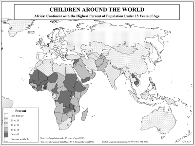
The Children of Africa (BW)
·Type: Maps ·Description: Percent Children in Africa ·Map Date: 2002 ·Producer: Global Mapping International ·Collection: Reaching Africa (WorldVue 2002) ·Size: 8½ x 11 Inches, landscape...
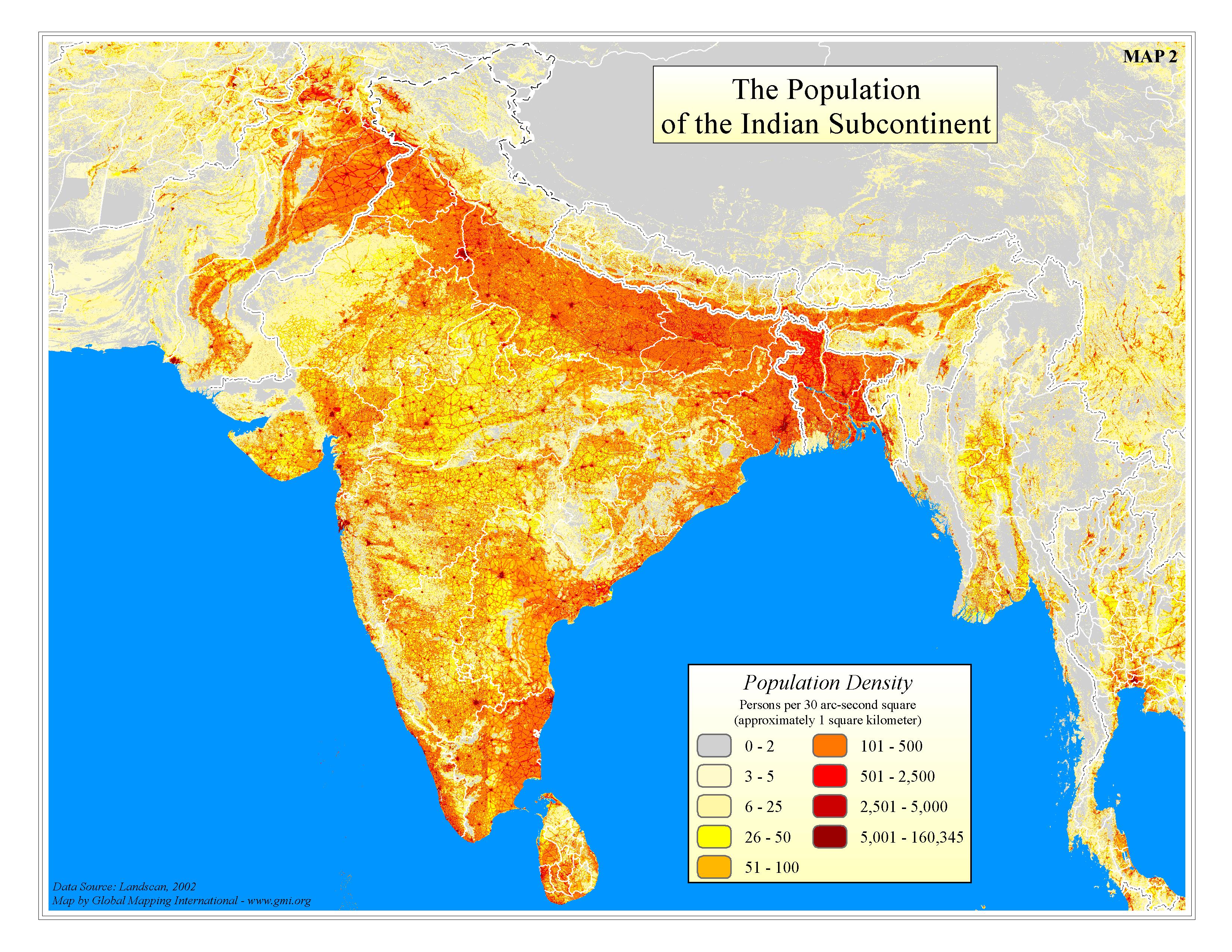
The Population of the Indian Subcontinent
·Type: Maps ·Map Date: 2006 ·Data Source: Landscan 2002 ·Producer: GMI ·Collection: Projects 2006 ·Size: 8½ by 11 inches, landscape ·Categories: Type :: Maps Topic :: Statistical Topic ::...
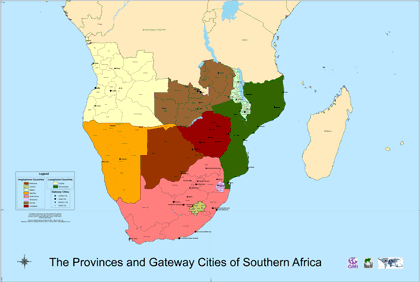
The Provinces and Gateway Cities of Southern Africa
·Type: Maps ·Map Date: February 2008 ·Data Source: Global Mapping International ·Producer: INSERV ·Collection: INSERV Maps ·Size: 39.37 by 59.05 inches, landscape ·Categories: Type :: Maps...
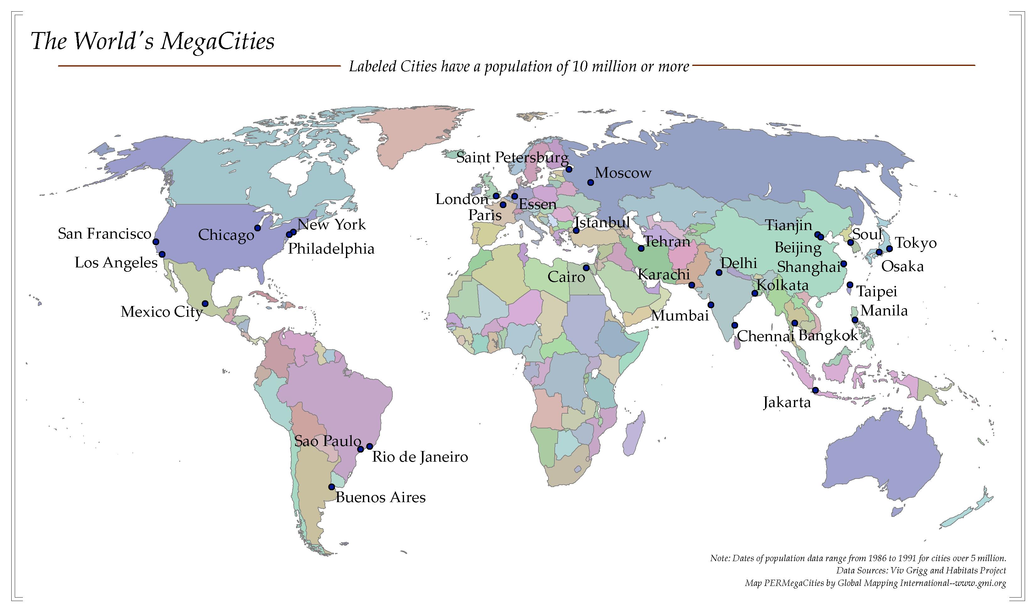
The World's MegaCities
·Type: Maps ·Map Date: 2006 ·Data Source: Viv Grigg and Habitats Project ·Producer: Global Mapping International ·Collection: Worldwide Perspectives GMMS 2007 ·Categories: Type :: Maps Continent/Region ::...
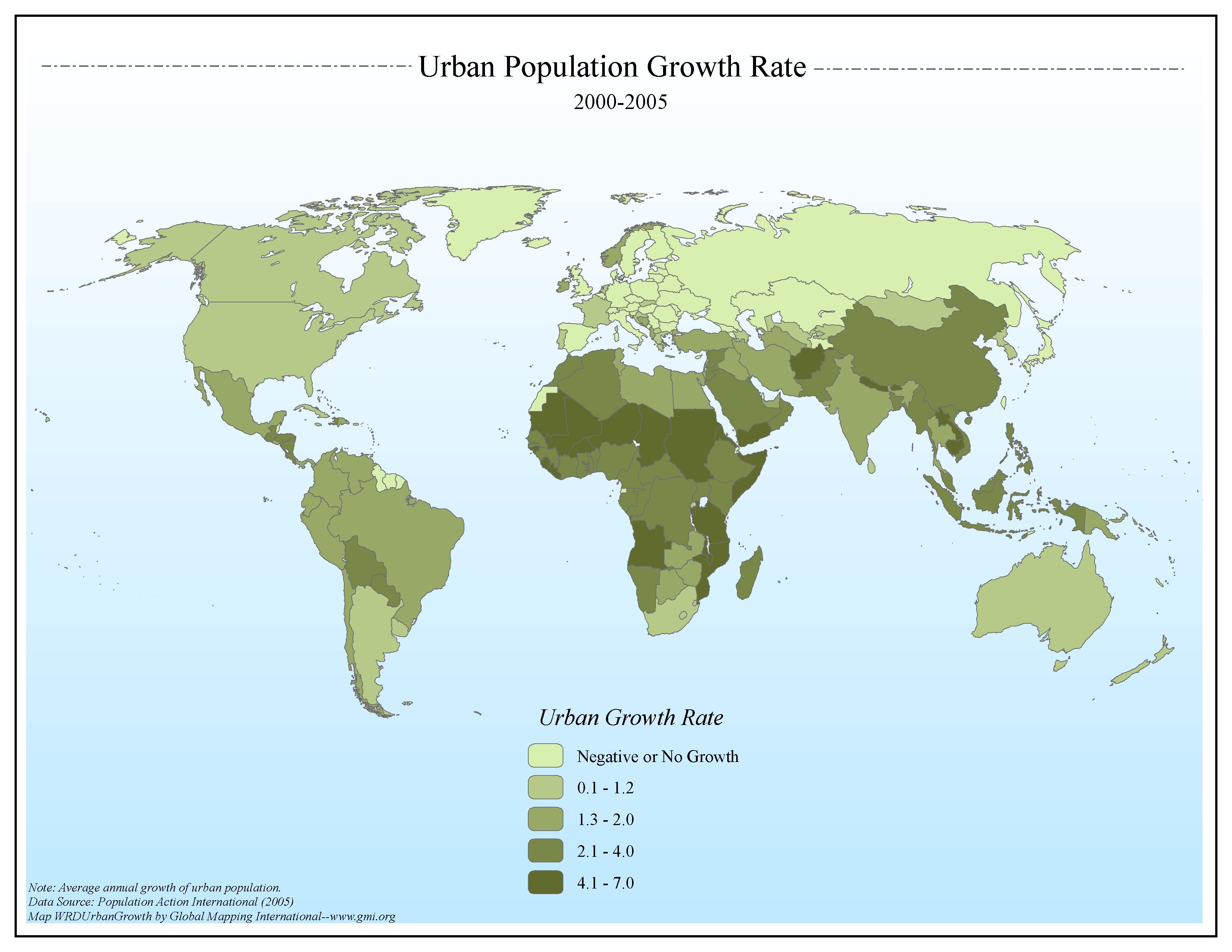
Urban Population Growth Rate 2000-2005
·Type: Maps ·Map Date: 2006 ·Data Source: Population Action International (2005) ·Producer: Global Mapping International ·Collection: General World Maps (GMMS 2007) ·Size: 8½ x 11 inches, landscape...
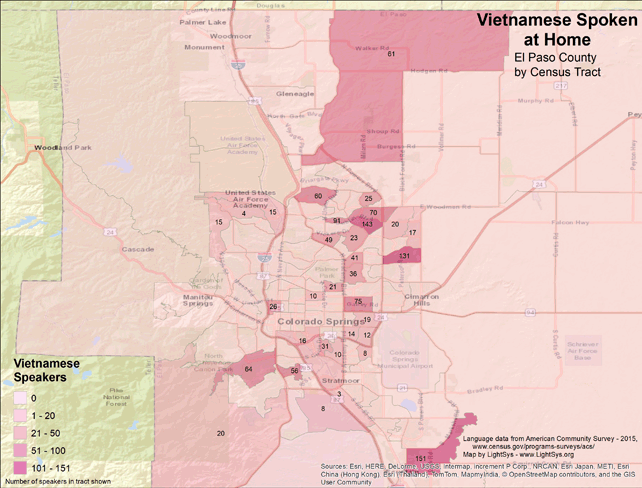
Vietnamese Spoken at Home - El Paso County
· Type Maps · Map Date: 2018 · Data Source: American Community Survey, 2015, https://www.census.gov/programs-surveys/acs · Partners: LightSys Technology Services, U.S. Government...
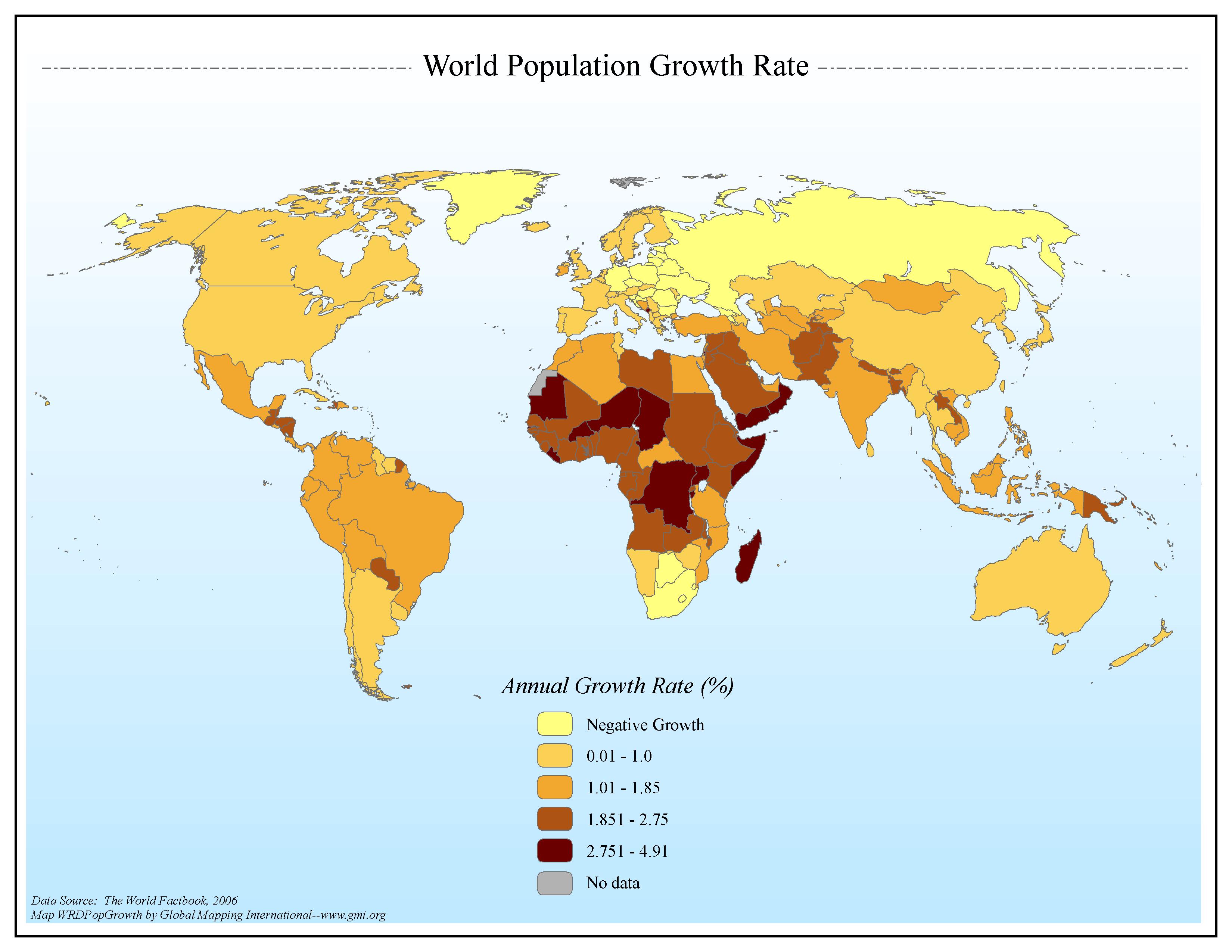
World Population Growth Rate
·Type: Maps ·Map Date: 2006 ·Data Source: The World Factbook, 2006 ·Producer: Global Mapping International ·Collection: Factbook (GMMS 2007) ·Size: 8½ x 11 inches, landscape ·Categories: Type...

