| Product Image |
Resource Name- |
Price |
Manufacturer |
 |
·Type: Documents ·Full title: The Maghreb - Ancient North Africa Yearns for Rebirth ·Date: 8 September 1999 ·Authors: Luis Bush ·Producer: AD2000 and Beyond Movement ·Collection: Publications ·Pages: 12 ·Categories: Type :: Documents Continent/Region :: Africa Topic :: Strategy Partners :: AD2000 Topic :: Movements :: Global Movements Collection :: AD2000 Movement Archives :: Publications |
... more info
Max: 1
|
|
 |
·Type: Documents ·Date: 23 March 1999 ·Authors: Luis Bush ·Producer: AD2000 and Beyond Movement ·Collection: Publications ·Pages: 12 ·Categories: Type :: Documents Continent/Region :: Africa Topic :: Strategy Partners :: AD2000 Topic :: Movements :: Global Movements Collection :: AD2000 Movement Archives :: Publications |
... more info
Max: 1
|
|
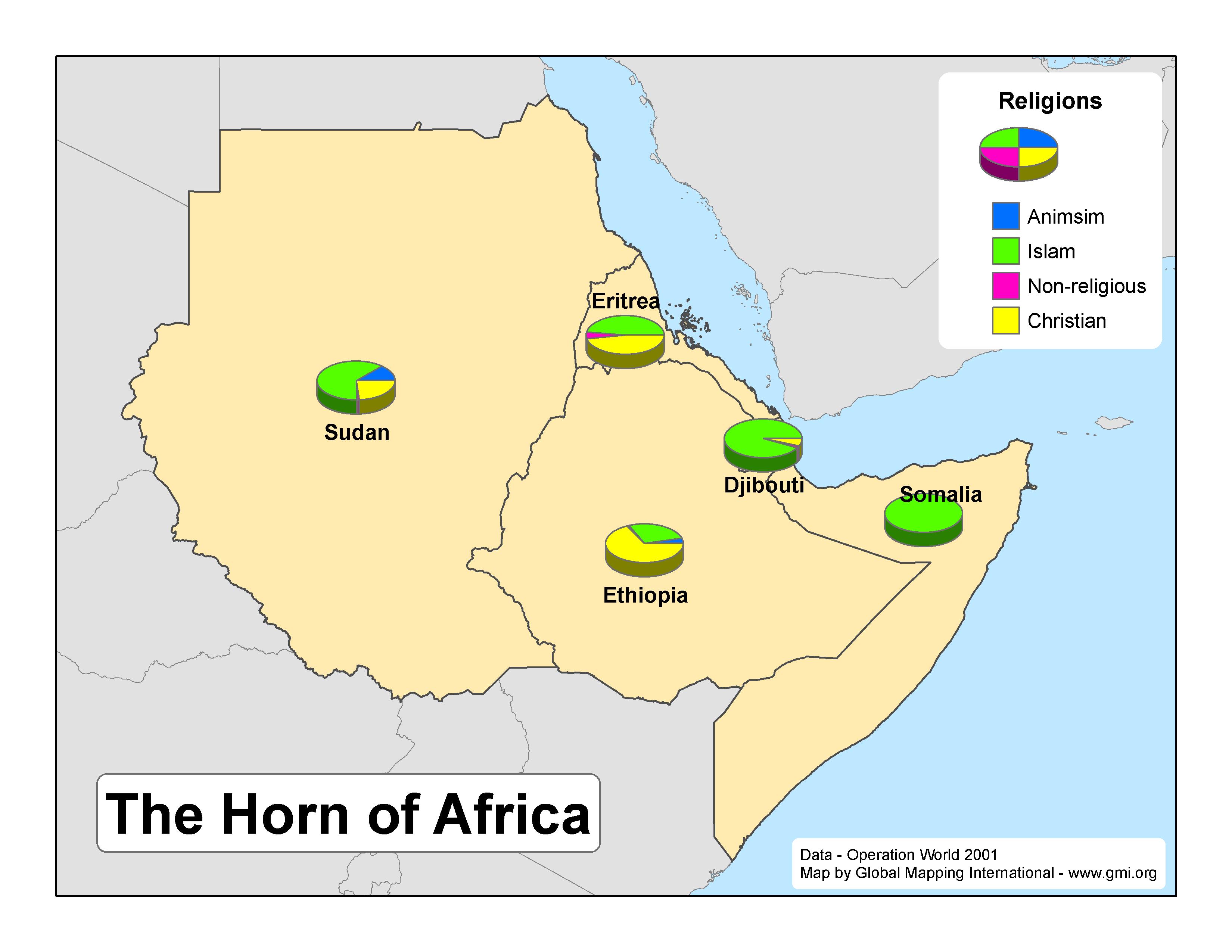 |
·Type: Maps ·Map Date: 2007 ·Data Source: Operation World 2001 ·Producer: GMI ·Collection: Projects 2007 ·Size: 8½ by 11 inches, landscape ·Categories: Type :: Maps Continent/Region :: Africa Topic :: Statistical Partners :: Global Mapping International Collection :: GMI Map Collections :: Projects 2007 Topic :: Religions, General :: Multiple/Other |
... more info
Max: 1
|
|
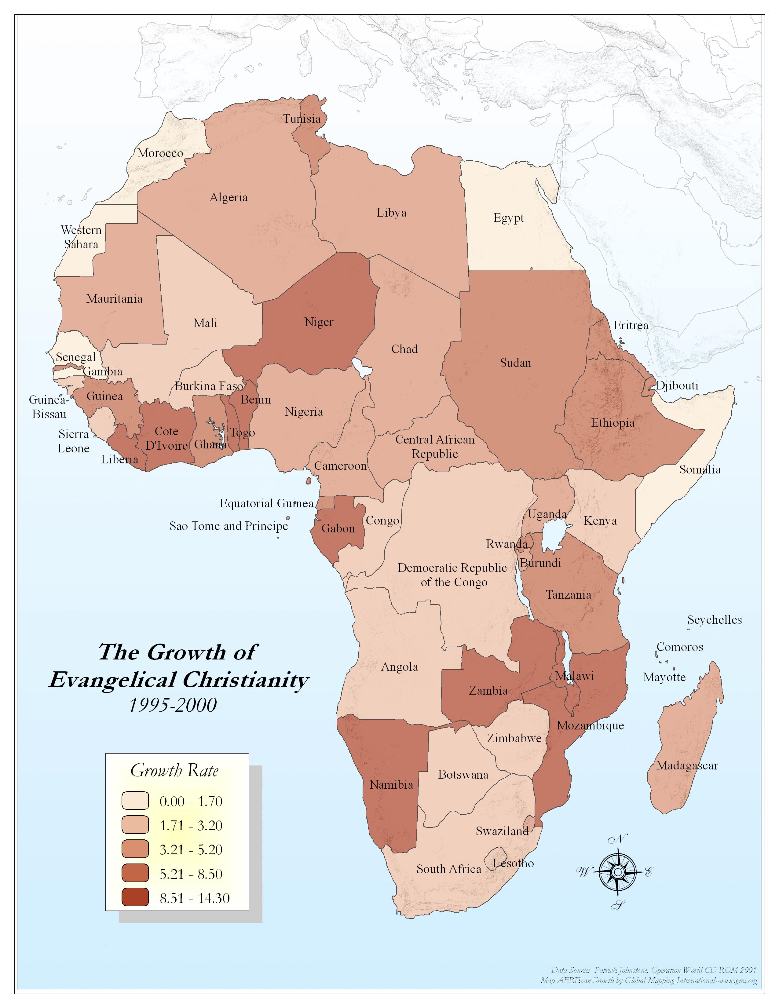 |
·Type: Maps ·Map Date: 2006 ·Data Source: Patrick Johnstone, Operation World CD-ROM 2001 ·Producer: Global Mapping International ·Collection: Reaching Africa (GMMS 2007) ·Size: 8½ x 11 inches, portrait ·Categories: Type :: Maps Continent/Region :: Africa Topic :: Statistical Collection :: GMI Map Collections :: Reaching Africa (GMMS 2007) Partners :: Global Mapping International Topic :: Religions, Christianity :: Adherents, Churches, and... |
... more info
Max: 1
|
|
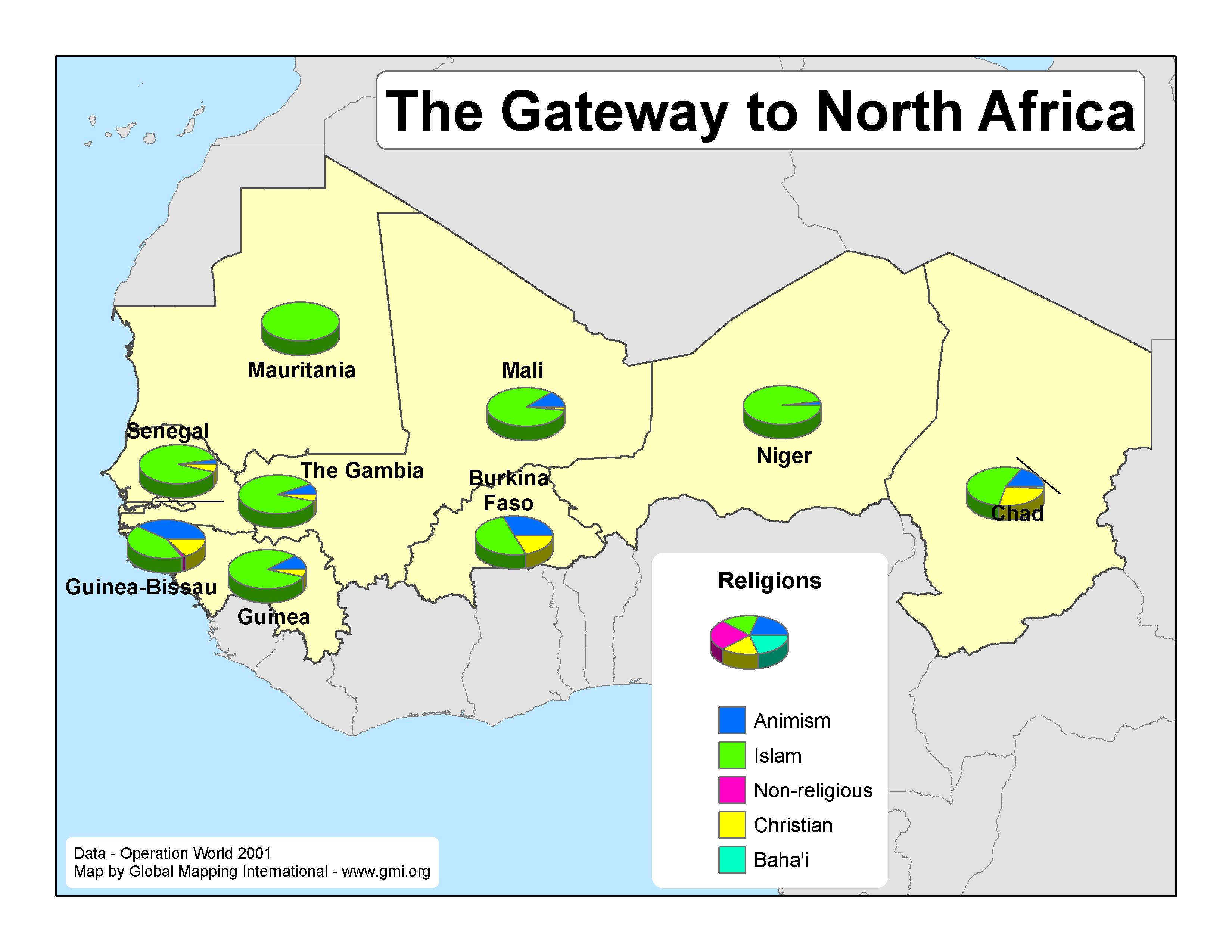 |
·Type: Maps ·Map Date: 2007 ·Data Source: Operation World 2001 ·Producer: GMI ·Collection: Projects 2007 ·Size: 8½ by 11 inches, landscape ·Categories: Type :: Maps Continent/Region :: Africa Topic :: Statistical Partners :: Global Mapping International Collection :: GMI Map Collections :: Projects 2007 Topic :: Religions, General :: Multiple/Other |
... more info
Max: 1
|
|
 |
·Type: Maps ·Description: Percent Children in Africa ·Map Date: 2002 ·Producer: Global Mapping International ·Collection: Reaching Africa (WorldVue 2002) ·Size: 8½ x 11 Inches, landscape ·Categories: Type :: Maps Collection :: GMI Map Collections :: Reaching Africa (WorldVue 2002) Continent/Region :: Africa Topic :: Statistical Topic :: Demography Topic :: Social Partners :: Global Mapping International |
... more info
Max: 1
|
|
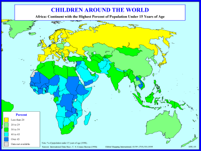 |
·Type: Maps ·Description: Percent Children in Africa ·Map Date: 1998 ·Producer: Global Mapping International ·Collection: Reaching Africa (WorldVue 2002) ·Size: 8½ x 11 Inches, landscape ·Categories: Type :: Maps Collection :: GMI Map Collections :: Reaching Africa (WorldVue 2002) Continent/Region :: Africa Topic :: Statistical Topic :: Demography Topic :: Social Partners :: Global Mapping International |
... more info
Max: 1
|
|
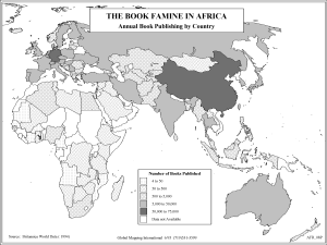 |
·Type: Maps ·Description: Books in Africa ·Map Date: 2002 ·Producer: Global Mapping International ·Collection: Reaching Africa (WorldVue 2002) ·Size: 8½ x 11 Inches, landscape ·Categories: Type :: Maps Collection :: GMI Map Collections :: Reaching Africa (WorldVue 2002) Continent/Region :: Africa Topic :: Social Partners :: Global Mapping International |
... more info
Max: 1
|
|
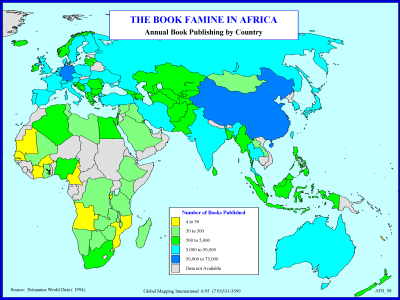 |
·Type: Maps ·Description: Books in Africa ·Map Date: 1994 ·Producer: Global Mapping International ·Collection: Reaching Africa (WorldVue 2002) ·Size: 8½ x 11 Inches, landscape ·Categories: Type :: Maps Collection :: GMI Map Collections :: Reaching Africa (WorldVue 2002) Continent/Region :: Africa Topic :: Social Partners :: Global Mapping International |
... more info
Max: 1
|
|
 |
·Type: Maps ·Map Date: 2006 ·Data Source: The Macmillan Atlas History of Christianity ·Producer: Global Mapping International ·Collection: Worldwide Perspectives GMMS 2007 ·Size: 8½ x 11 inches, portrait ·Categories: Type :: Maps Continent/Region :: Africa Topic :: History Partners :: Global Mapping International Collection :: GMI Map Collections :: Worldwide Perspectives GMMS 2007 |
... more info
Max: 1
|
|
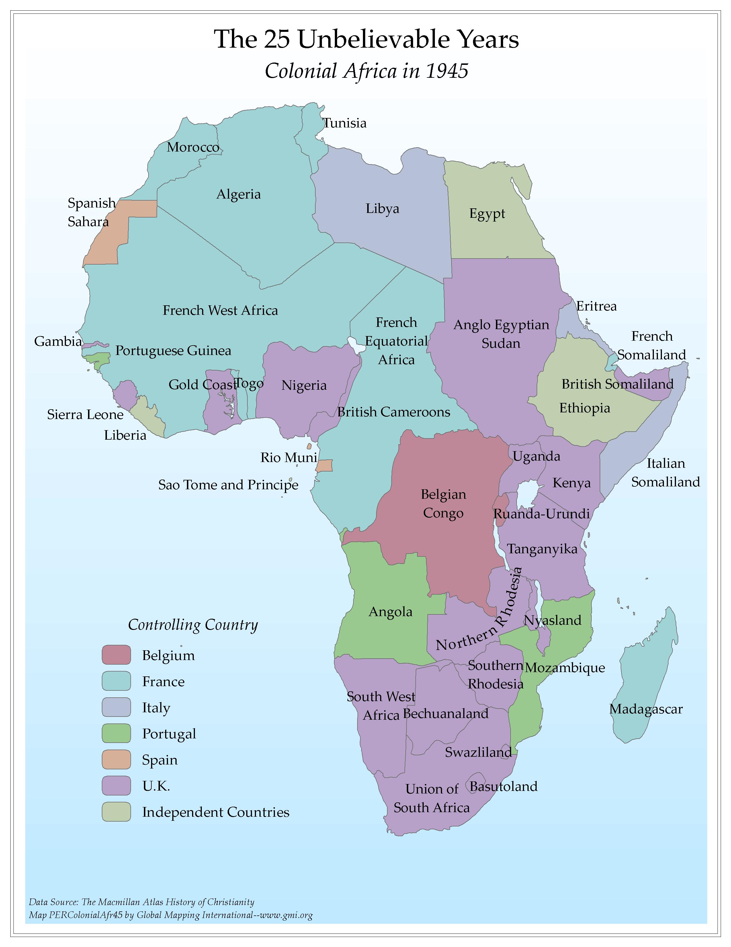 |
·Type: Maps ·Map Date: 2006 ·Data Source: The Macmillan Atlas History of Christianity ·Producer: Global Mapping International ·Collection: Worldwide Perspectives GMMS 2007 ·Size: 8½ x 11 inches, portrait ·Categories: Type :: Maps Continent/Region :: Africa Topic :: History Partners :: Global Mapping International Collection :: GMI Map Collections :: Worldwide Perspectives GMMS 2007 |
... more info
Max: 1
|
|
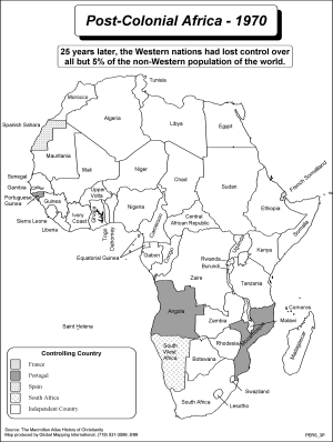 |
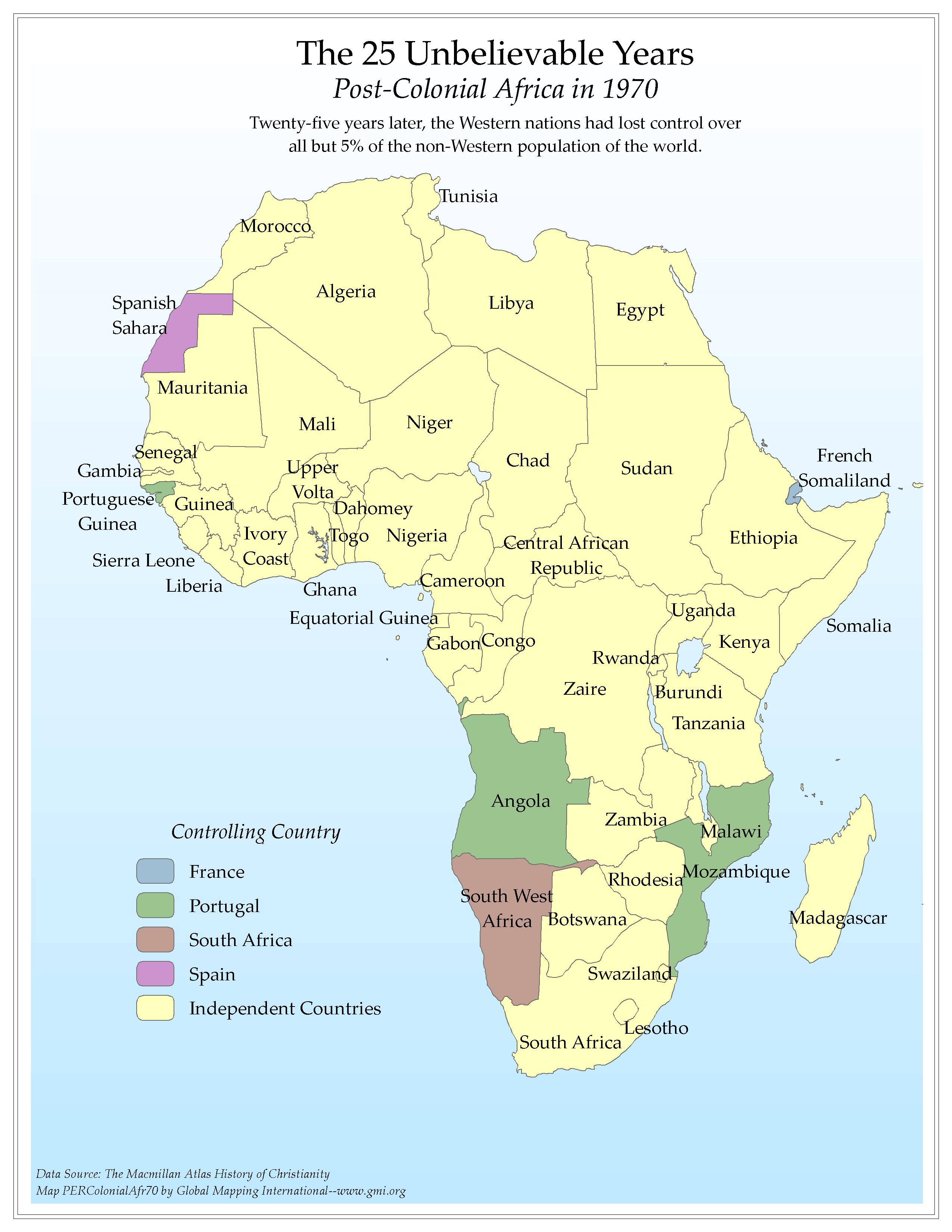
·Type: Maps ·Description: The 25 Unbelievible years of Post-Colonial Africa, 1970 ·Map Date: 2002 ·Producer: Global Mapping International ·Collection: Worldwide Perspectives (WV 2002) ·Size: 8½ x 11 Inches, portrait ·Categories: Type :: Maps Collection :: GMI Map Collections :: Worldwide Perspectives (WV 2002) Continent/Region :: Africa Topic :: History Partners :: Global Mapping International |
... more info
Max: 1
|
|
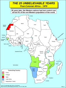 |
·Type: Maps ·Description: The 25 Unbelievible years of Post-Colonial Africa, 1970 ·Map Date: 2002 ·Producer: Global Mapping International ·Collection: Worldwide Perspectives (WV 2002) ·Size: 8½ x 11 Inches, portrait ·Categories: Type :: Maps Collection :: GMI Map Collections :: Worldwide Perspectives (WV 2002) Continent/Region :: Africa Topic :: History Partners :: Global Mapping International |
... more info
Max: 1
|
|
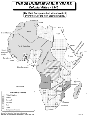 |
·Type: Maps ·Description: The 25 unbelievible years of Colonial Africa, 1945 ·Map Date: 2002 ·Producer: Global Mapping International ·Collection: Worldwide Perspectives (WV 2002) ·Size: 8½ x 11 Inches, portrait ·Categories: Type :: Maps Collection :: GMI Map Collections :: Worldwide Perspectives (WV 2002) Continent/Region :: Africa Topic :: History Partners :: Global Mapping International |
... more info
Max: 1
|
|
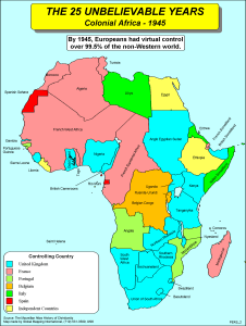 |
·Type: Maps ·Description: The 25 unbelievible years of Colonial Africa, 1945 ·Map Date: 2002 ·Producer: Global Mapping International ·Collection: Worldwide Perspectives (WV 2002) ·Size: 8½ x 11 Inches, portrait ·Categories: Type :: Maps Collection :: GMI Map Collections :: Worldwide Perspectives (WV 2002) Continent/Region :: Africa Topic :: History Partners :: Global Mapping International |
... more info
Max: 1
|
|
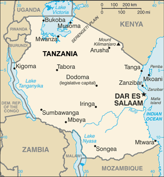 |
·Type: Maps ·Description: Tanzania (World Factbook, modified to add country name) ·Map Date: 2007 ·Producer: US Government modified by Joshua Project ·Collection: World Factbook country maps ·Size: 329x353 px, landscape ·Categories: Type :: Maps Continent/Region :: Africa Collection :: World Factbook country maps Country :: Tanzania Partners :: U.S. Government |
... more info
Max: 1
|
|
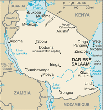 |
·Type: Maps ·Description: Tanzania (Factbook) ·Map Date: 2007 ·Producer: US Government ·Collection: World Factbook country maps ·Size: 329x353 px, landscape ·Categories: Type :: Maps Continent/Region :: Africa Collection :: World Factbook country maps Country :: Tanzania Partners :: U.S. Government |
... more info
Max: 1
|
|
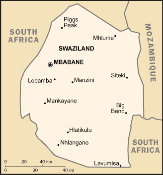 |
·Type: Maps ·Description: Swaziland (World Factbook, modified to add country name) ·Map Date: 2007 ·Producer: US Government modified by Joshua Project ·Collection: World Factbook country maps ·Size: 328x353 px, landscape ·Categories: Type :: Maps Continent/Region :: Africa Collection :: World Factbook country maps Country :: Swaziland Partners :: U.S. Government |
... more info
Max: 1
|
|
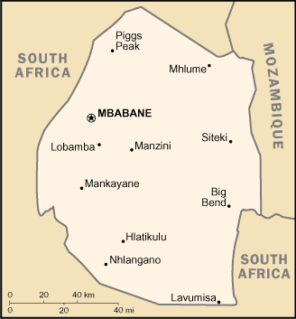 |
·Type: Maps ·Description: Swaziland (Factbook) ·Map Date: 2007 ·Producer: US Government ·Collection: World Factbook country maps ·Size: 328x353 px, landscape ·Categories: Type :: Maps Continent/Region :: Africa Collection :: World Factbook country maps Country :: Swaziland Partners :: U.S. Government |
... more info
Max: 1
|
|
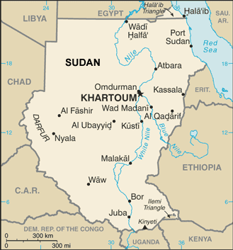 |
·Type: Maps ·Description: Sudan (World Factbook, modified to add country name) ·Map Date: 2007 ·Producer: US Government modified by Joshua Project ·Collection: World Factbook country maps ·Size: 330x353 px, landscape ·Categories: Type :: Maps Continent/Region :: Africa Collection :: World Factbook country maps Country :: Sudan Partners :: U.S. Government |
... more info
Max: 1
|
|
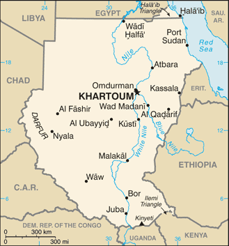 |
·Type: Maps ·Description: Sudan (Factbook) ·Map Date: 2007 ·Producer: US Government ·Collection: World Factbook country maps ·Size: 330x353 px, landscape ·Categories: Type :: Maps Continent/Region :: Africa Collection :: World Factbook country maps Country :: Sudan Partners :: U.S. Government |
... more info
Max: 1
|
|
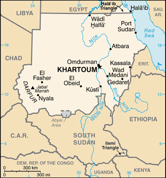 |
·Type: Maps ·Description: Sudan 2017(Factbook) ·Map Date: 2017 ·Producer: US Government ·Collection: World Factbook country maps ·Size: 330x353 px, landscape ·Categories: Type :: Maps Continent/Region :: Africa Collection :: World Factbook country maps Country :: Sudan Partners :: U.S. Government |
... more info
Max: 1
|
|
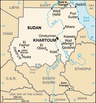 |
·Type: Maps ·Description: Sudan (World Factbook, modified to add country name) ·Map Date: 2017 ·Producer: US Government modified by LightSys ·Collection: World Factbook country maps ·Size: 330x353 px, landscape ·Categories: Type :: Maps Continent/Region :: Africa Collection :: World Factbook country maps Country :: Sudan Partners :: U.S. Government |
... more info
Max: 1
|
|
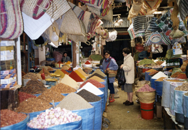 |
·Type: Images ·Data Source: PMI ·Collection: YWAM-John Fries ·Categories: Continent/Region :: Africa Topic :: Peoples, multiple or unknown Collection :: YWAM-John Fries Partners :: YWAM-John Fries Type :: Images :: by provider :: YWAM-John Fries |
... more info
Max: 1
|
|
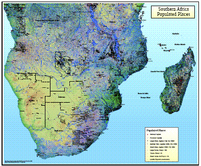 |
·Type: Maps ·Map Date: 2008 ·Data Source: Populated places from GMMS Populated Place Data 2008 ·Producer: Global Mapping International ·Collection: Wall Maps ·Size: 36 by 30 inches, landscape ·Categories: Type :: Maps Continent/Region :: Africa Topic :: Demography Partners :: Global Mapping International Topic :: Geography :: Maps Topic :: Movements :: Continental Movements :: Africa |
... more info
Max: 1
|
|